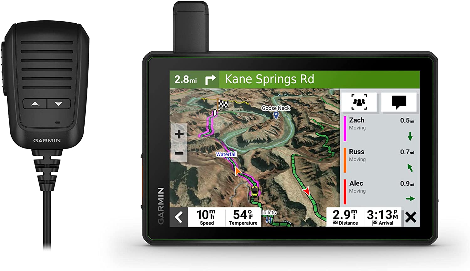
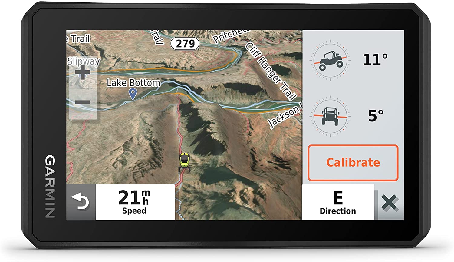
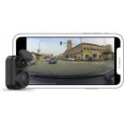
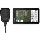
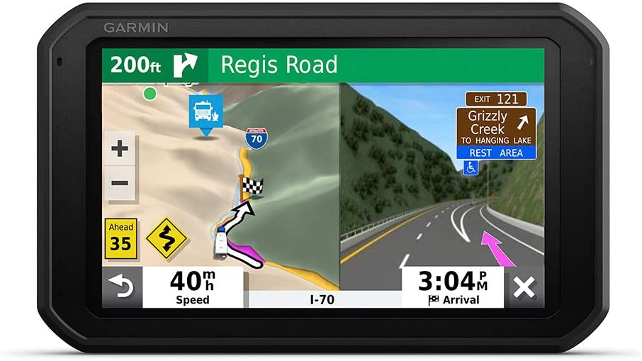
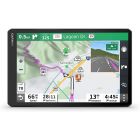
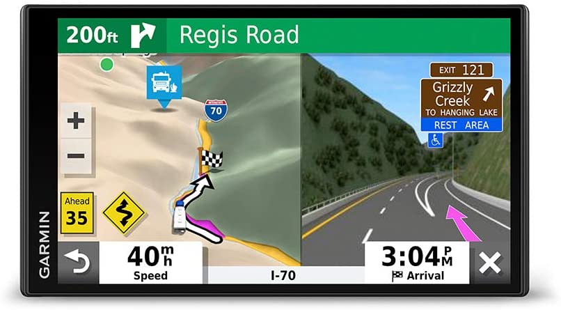
Garmin - Tread SxS, GPS Navigator, Ulltrabright Display, Preloaded Topography, Group Ride Radio, inReach Technology
| $1,499.99 | Sale Price | ||
| $75.00 | Donation Included |
In stock
SKU
010-02507-00
| $1,499.99 | Sale Price | ||
| $75.00 | Donation Included |
By Garmin
Skip to the end of the images gallery
Call us! 1-888-434-6392
Skip to the beginning of the images gallery
Call us! 1-888-434-6392
Garmin - Tread SxS, GPS Navigator, Ulltrabright Display, Preloaded Topography, Group Ride Radio, inReach Technology
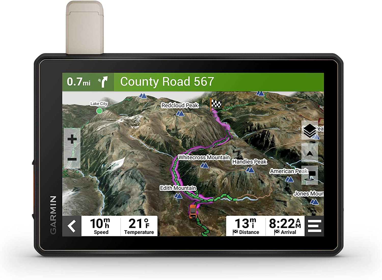
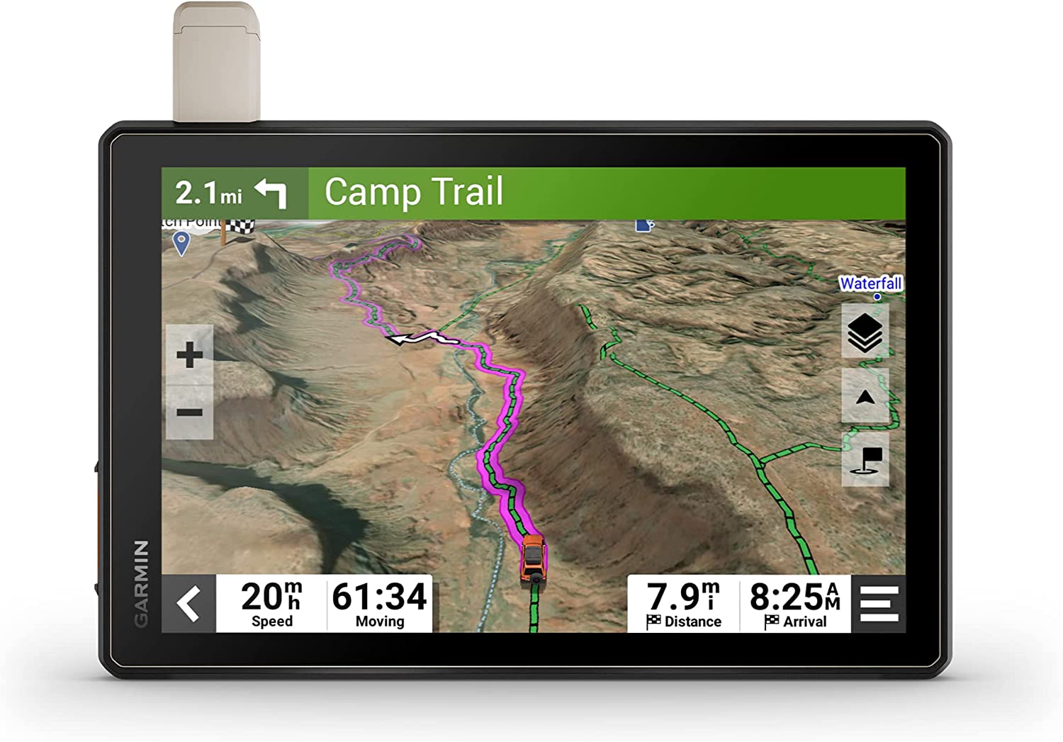
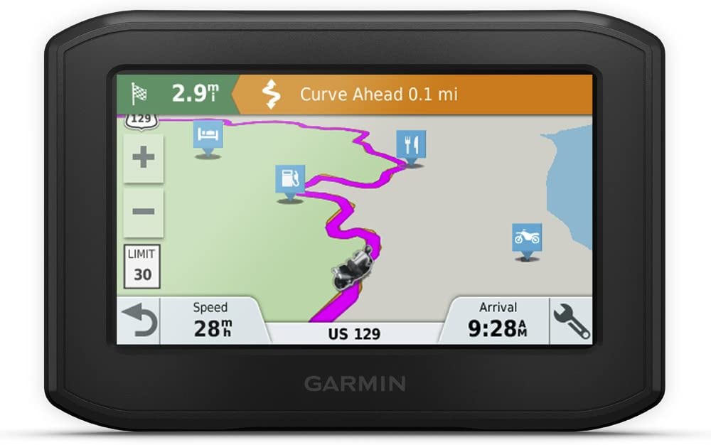
Roam the unknown with Tread – SxS Edition, the rugged 8” powersport navigator with turn-by-turn road to trail navigation. (Limitations may exist in map data for some road and trail route suggestions. Always defer to all posted road signs and conditions during vehicle operation. The Garmin OpenStreetMap products are intended to be used only as a supplementary travel aid and must not be used for any purpose requiring precise measurement of direction, distance, location or topography.) Use Group Ride Radio for tracking up to 20 riders (Group tracking is available for riders using a Tread navigator, and only riders with a Tread navigator may be tracked. Connection to vehicle power is required for group tracking and push-to-talk mic functionality.) and built-in inReach technology. (Some jurisdictions regulate or prohibit the use of satellite communications devices.)
Features
- Rugged, weather-resistant powersport navigator with an 8” ultrabright, glove-friendly touchscreen; includes locking magnet-assisted mount and tube mount for securing to your vehicle. (IP67; Dust tight. Withstands ingress of dust with vacuum applied. Withstands incidental exposure to water of up to 1 meter for up to 30 minutes.)
- Stay connected to your friends with the Group Ride Radio featuring push-to-talk fist mic and group tracking for up to 20 riders. (Group tracking is available for riders using a Tread navigator, and only riders with a Tread navigator may be tracked. Connection to vehicle power is required for group tracking and push-to-talk mic functionality.)
- Turn-by-turn trail navigation for traversing unpaved roads and trails using adventure roads and trails map content. (Limitations may exist in map data for some road and trail route suggestions. Always defer to all posted road signs and conditions during vehicle operation. The Garmin OpenStreetMap products are intended to be used only as a supplementary travel aid and must not be used for any purpose requiring precise measurement of direction, distance, location or topography.)
- Comprised of OSM and USFS Motor Vehicle Use Maps, City Navigator road maps for custom street routing takes into account the size and weight of your vehicle. (Not available in all areas. Entering your vehicle’s profile characteristics does not guarantee your vehicle’s characteristics will be accounted for in all route suggestions. Always defer to all posted road signs and road conditions.)
| Donation Cost | 75.00 |
|---|---|
| Description | Garmin - Tread SxS, GPS Navigator, Ulltrabright Display, Preloaded Topography, Group Ride Radio, inReach Technology
Roam the unknown with Tread – SxS Edition, the rugged 8” powersport navigator with turn-by-turn road to trail navigation. (Limitations may exist in map data for some road and trail route suggestions. Always defer to all posted road signs and conditions during vehicle operation. The Garmin OpenStreetMap products are intended to be used only as a supplementary travel aid and must not be used for any purpose requiring precise measurement of direction, distance, location or topography.) Use Group Ride Radio for tracking up to 20 riders (Group tracking is available for riders using a Tread navigator, and only riders with a Tread navigator may be tracked. Connection to vehicle power is required for group tracking and push-to-talk mic functionality.) and built-in inReach technology. (Some jurisdictions regulate or prohibit the use of satellite communications devices.)
Features
|
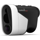
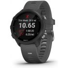
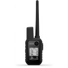
More from Garmin
-
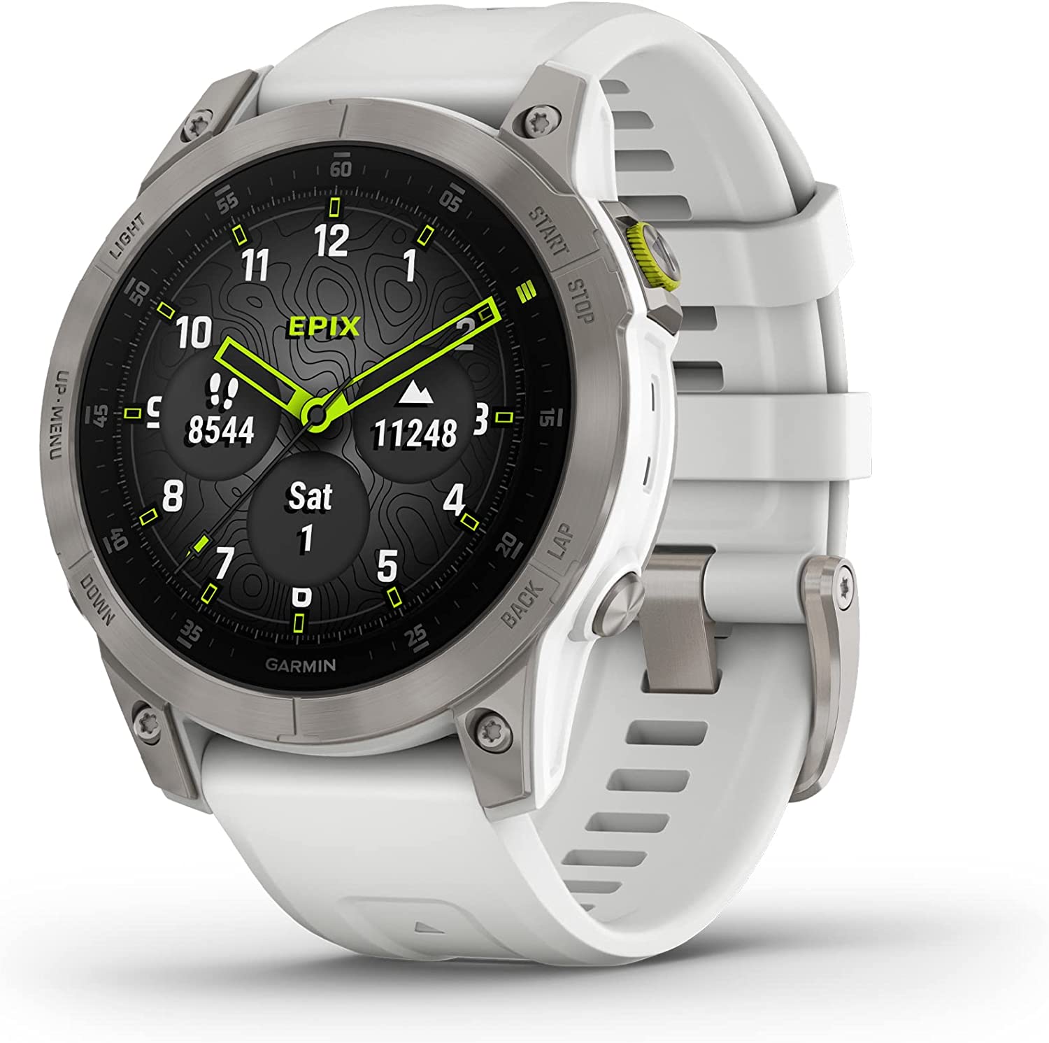
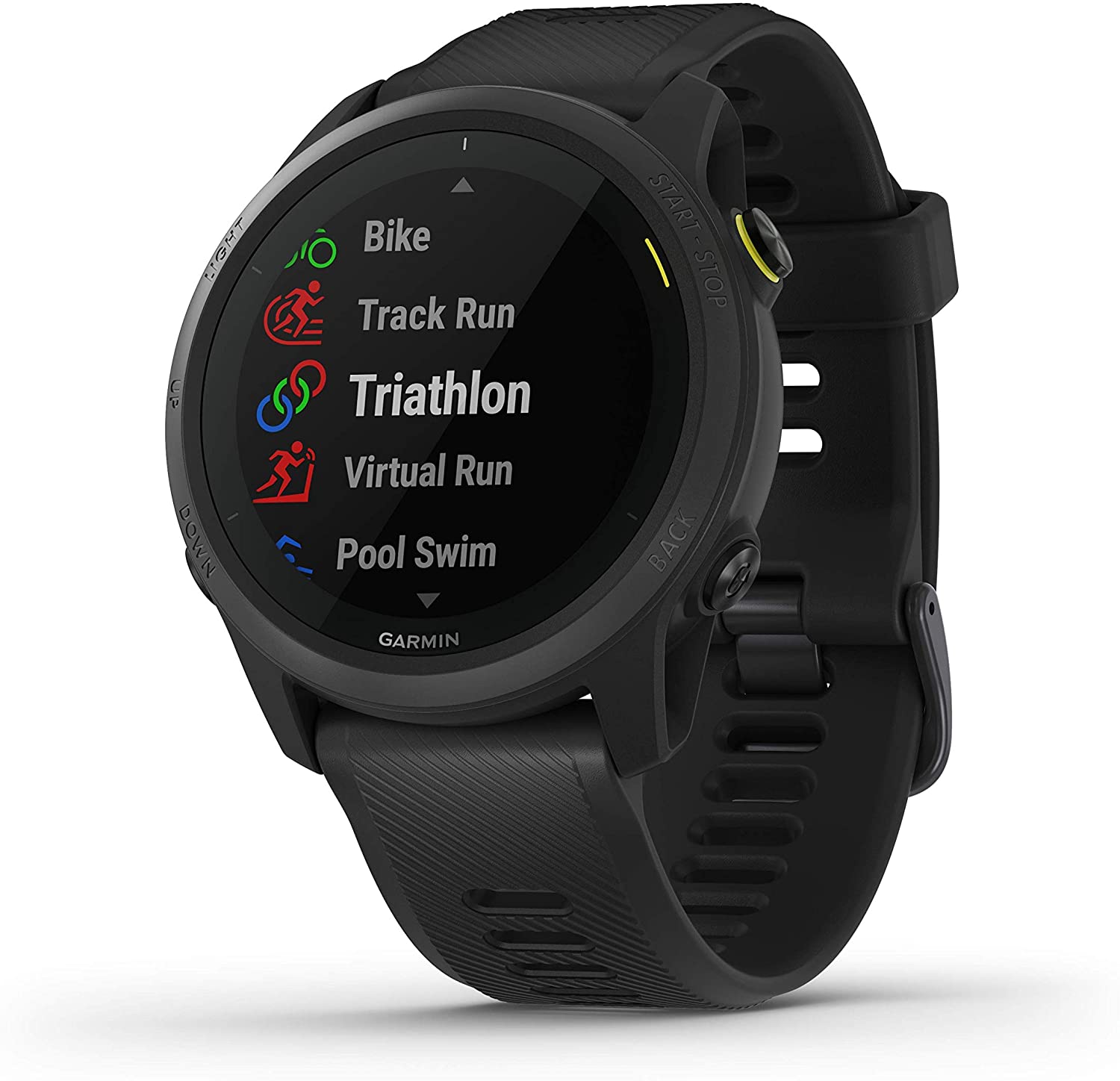
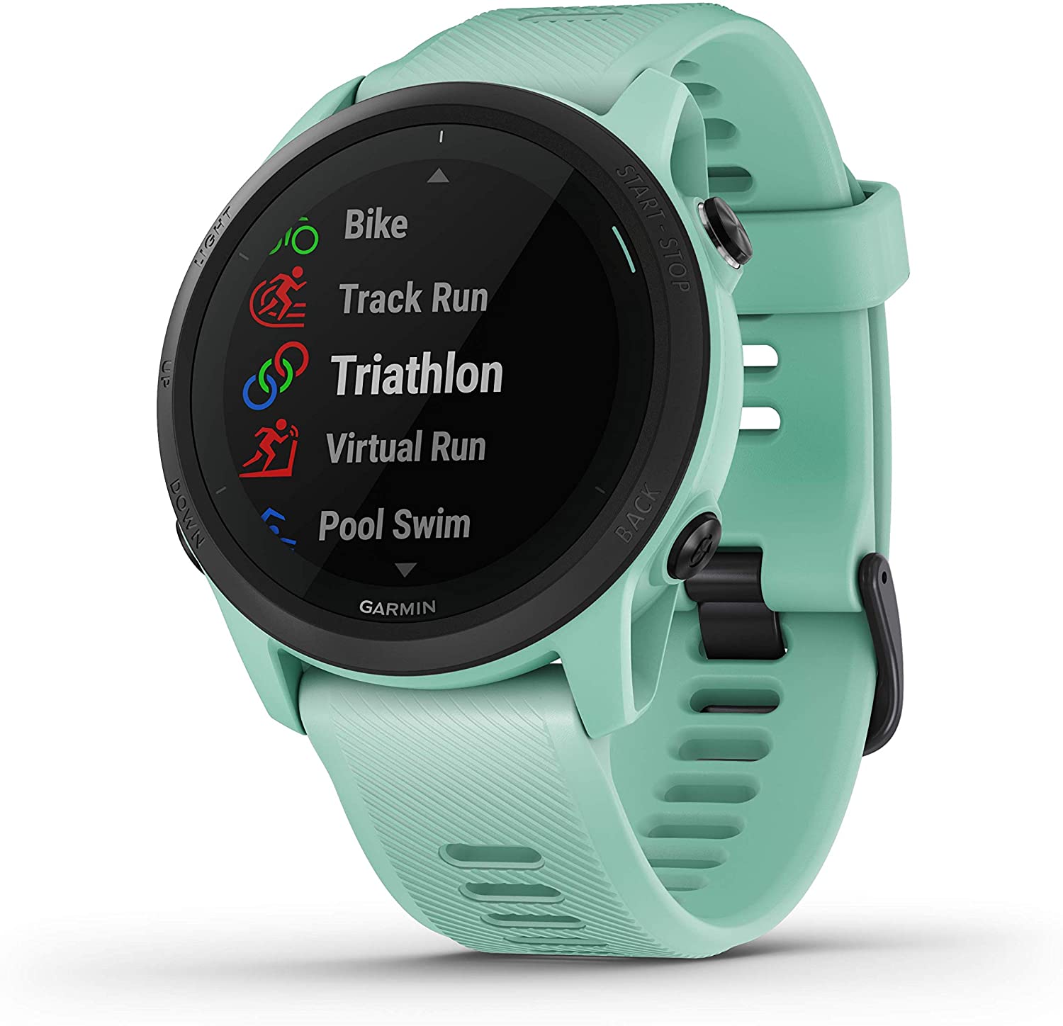
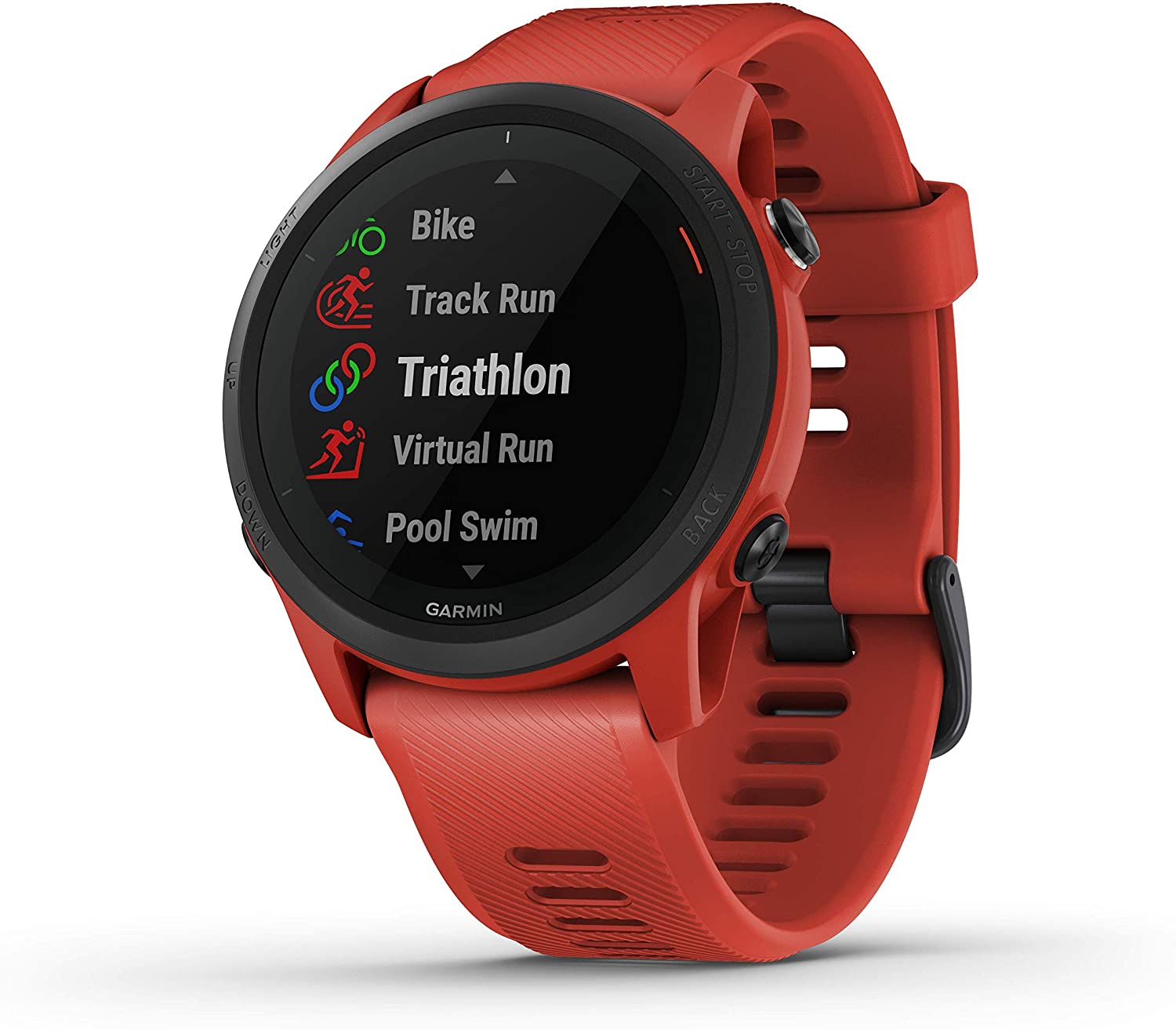
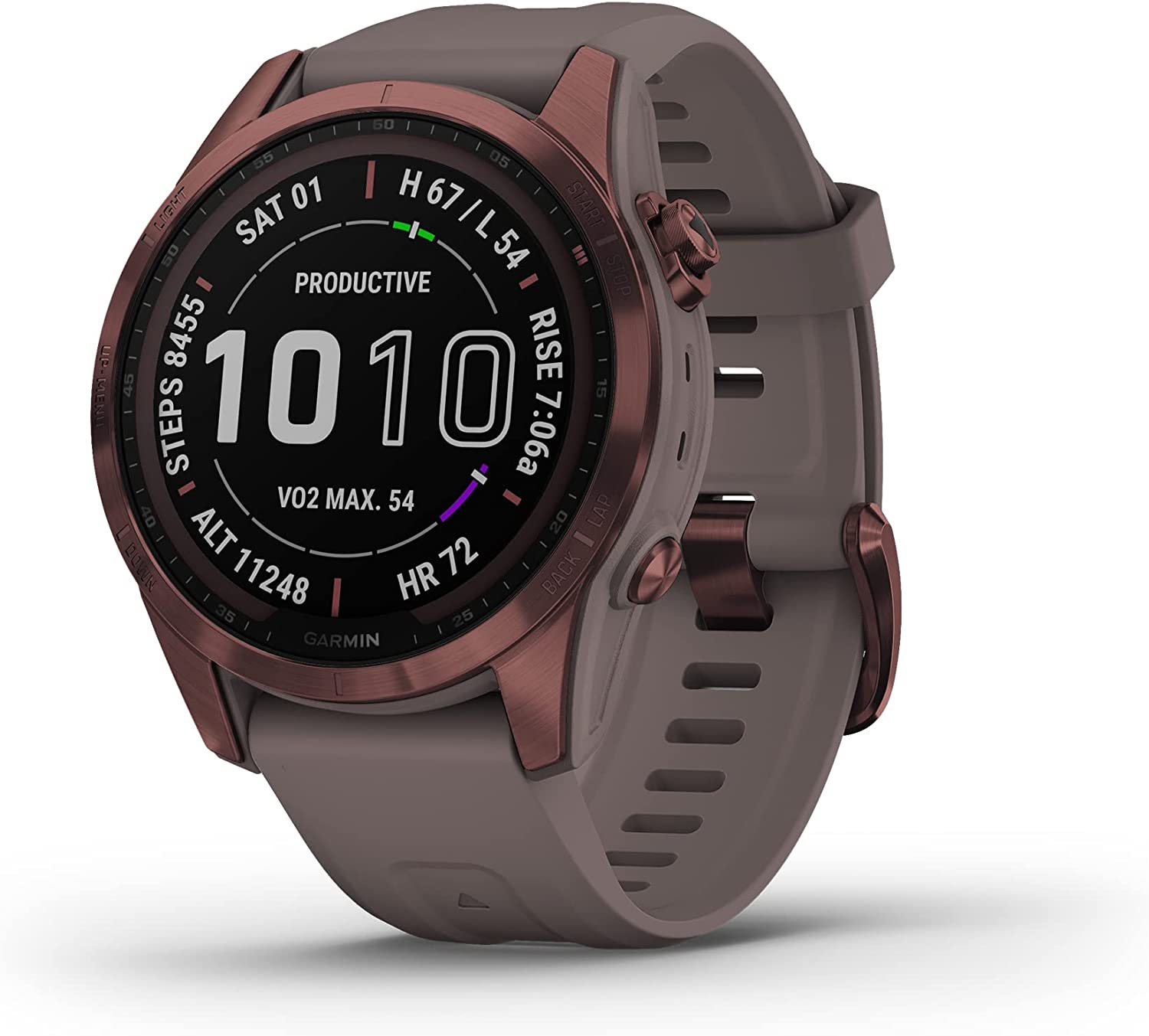
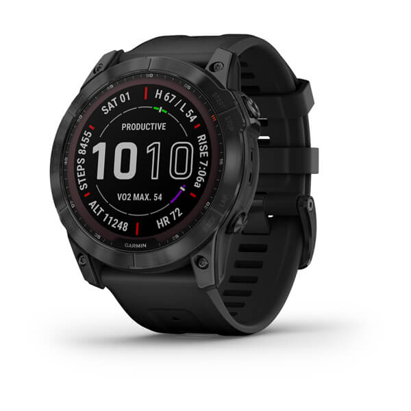
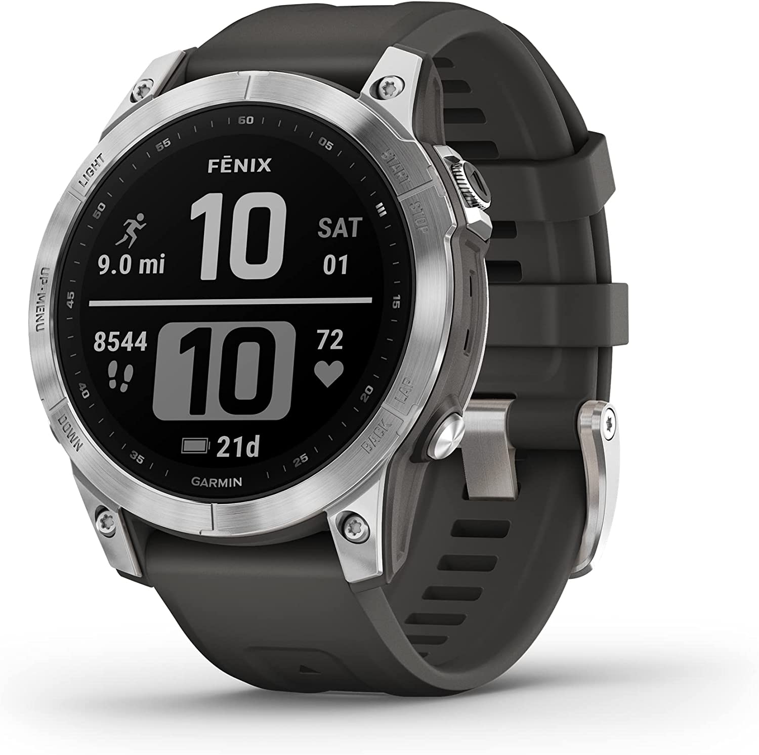
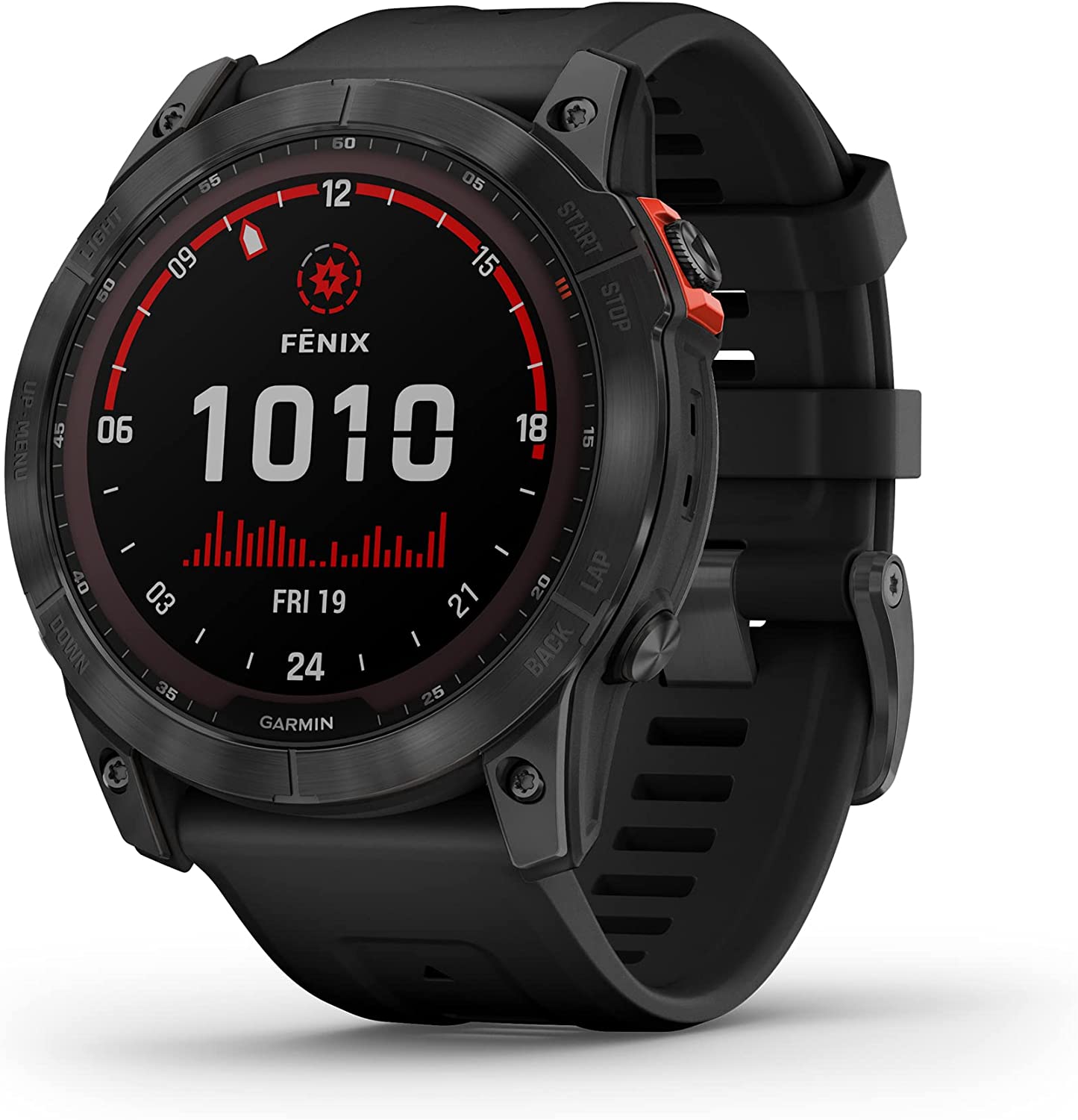
 Garmin - Fenix 6 Pro, Premium Multisport GPS Watch, Black
$649.99 Sale Price $32.49 Donation Included -
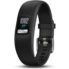
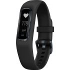
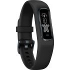
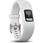 Garmin - Vivofit 4 Activity Tracker, White, S/M
$79.99 Sale Price $3.99 Donation Included -
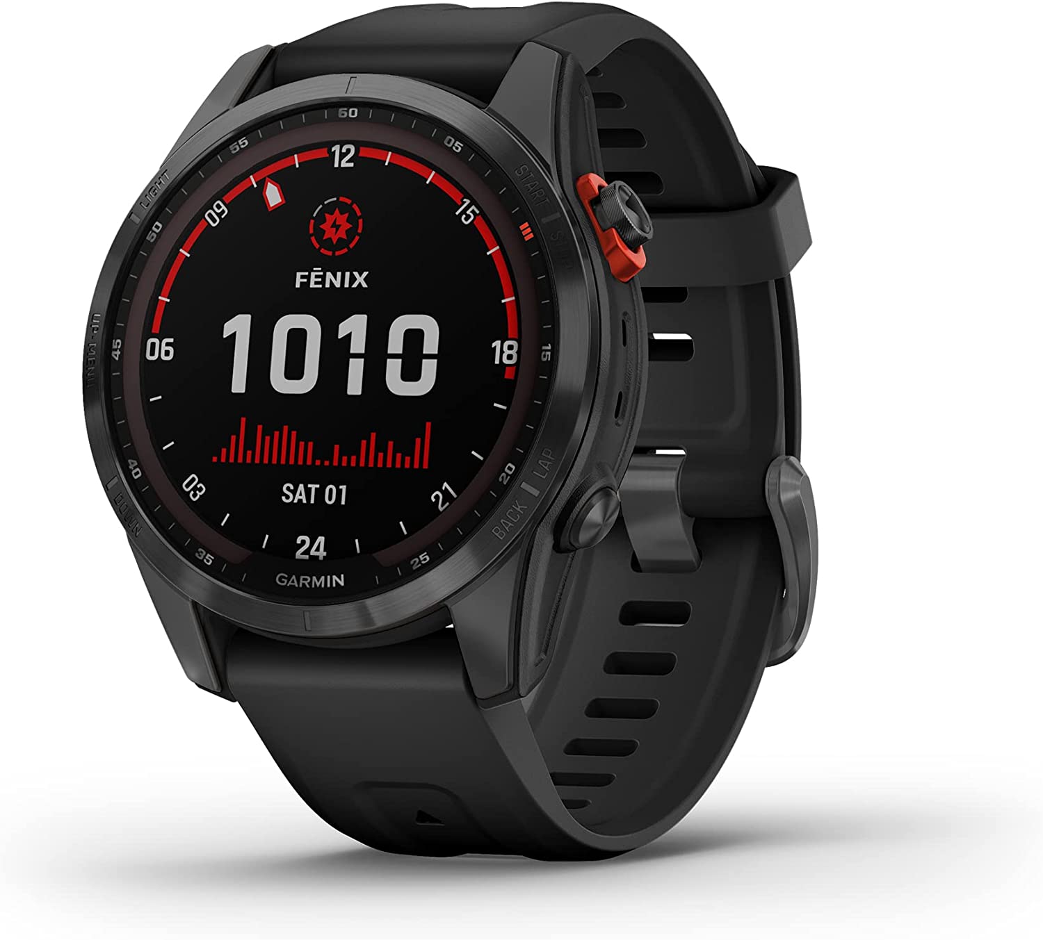
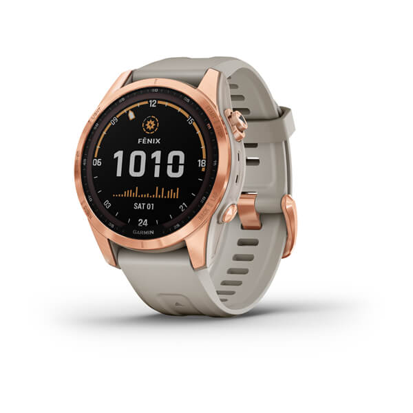 Garmin - Fenix 7S Solar Edition, Rugged Adventure Bluetooth Touchscreen Smartwatch, Rose Gold with Light Sand Band
$799.99 Sale Price $40.00 Donation Included -
 Garmin - Tread Powersport Off-Road Navigator, with Topographic Mapping
$599.99 Sale Price $30.00 Donation Included -
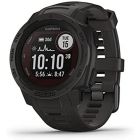
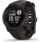
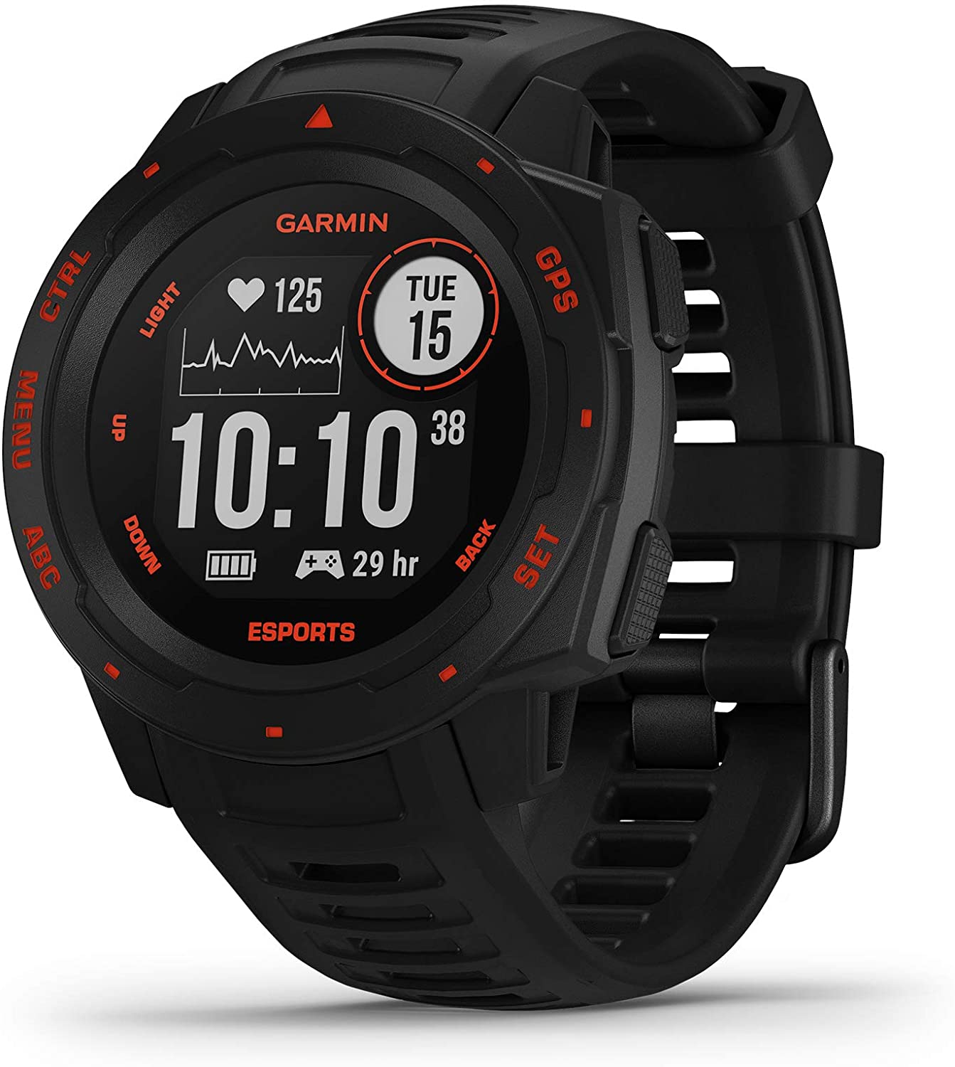
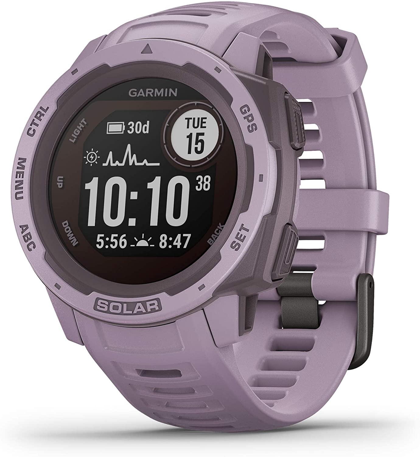
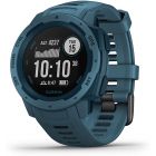
 Garmin - Instinct Crossover Rugged Outdoor GPS Smartwatch
$499.99 Sale Price $25.00 Donation Included -
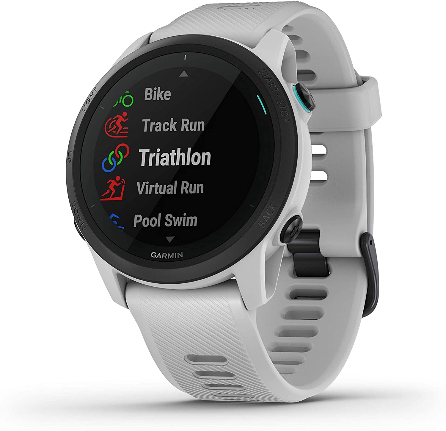
 Garmin - Forerunner 745 GPS Smart Running Watch, Black
$499.99 Sale Price $25.00 Donation Included -
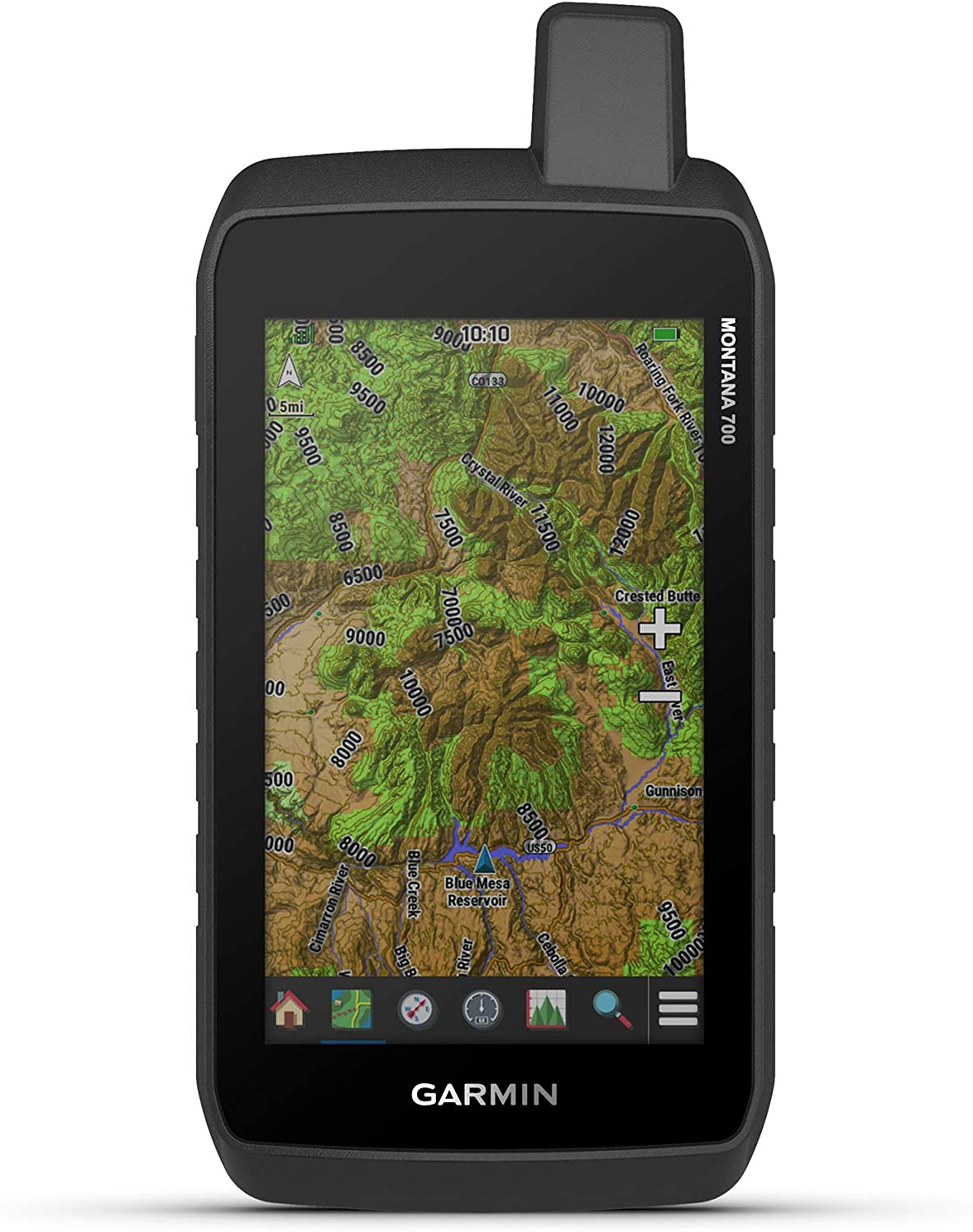
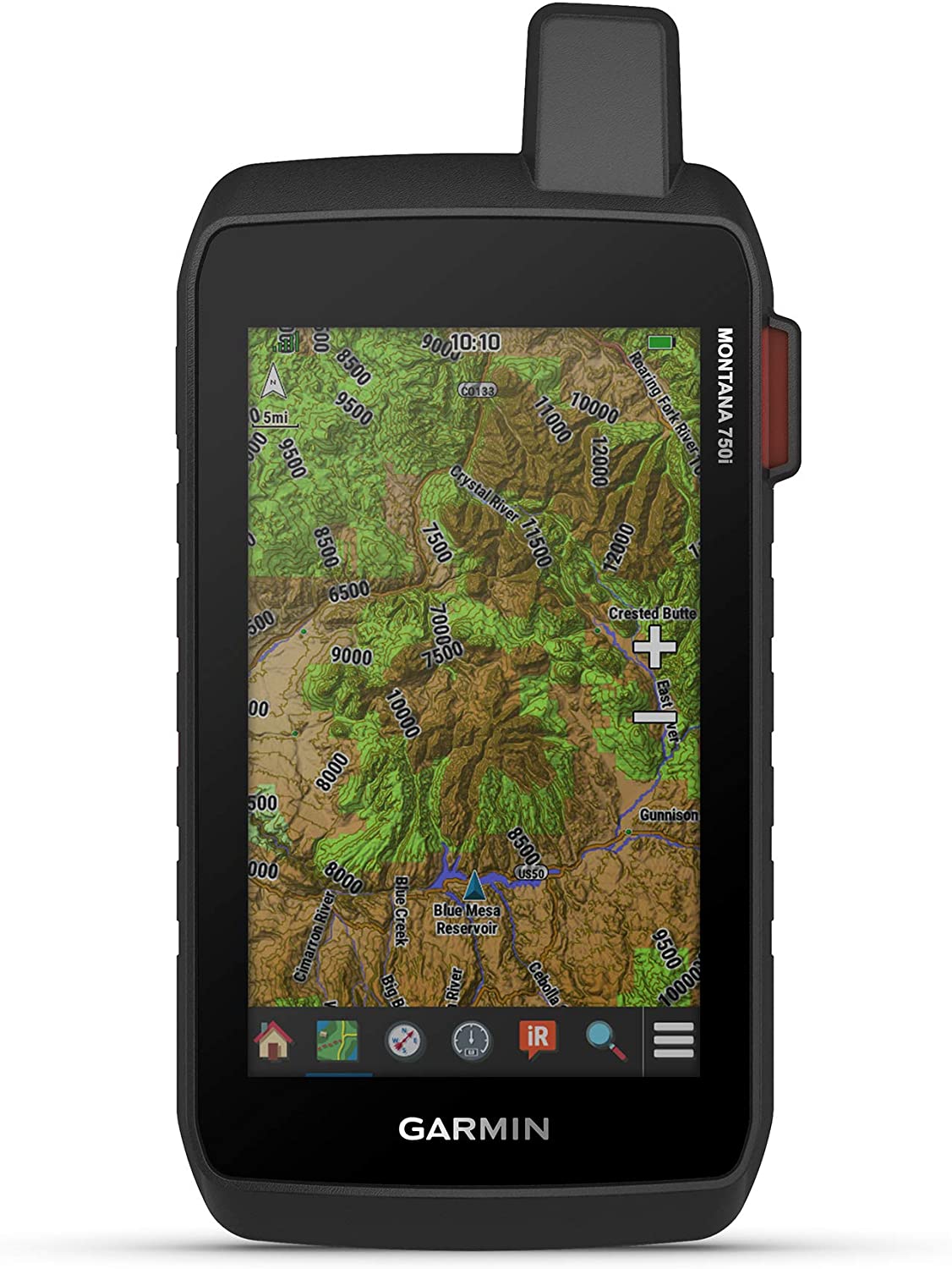 Garmin - Montana 750i Rugged GPS Touchscreen Navigator
$799.99 Sale Price $40.00 Donation Included -
 Garmin - Montana 700i Rugged GPS Touchscreen Navigator
$699.99 Sale Price $34.99 Donation Included -
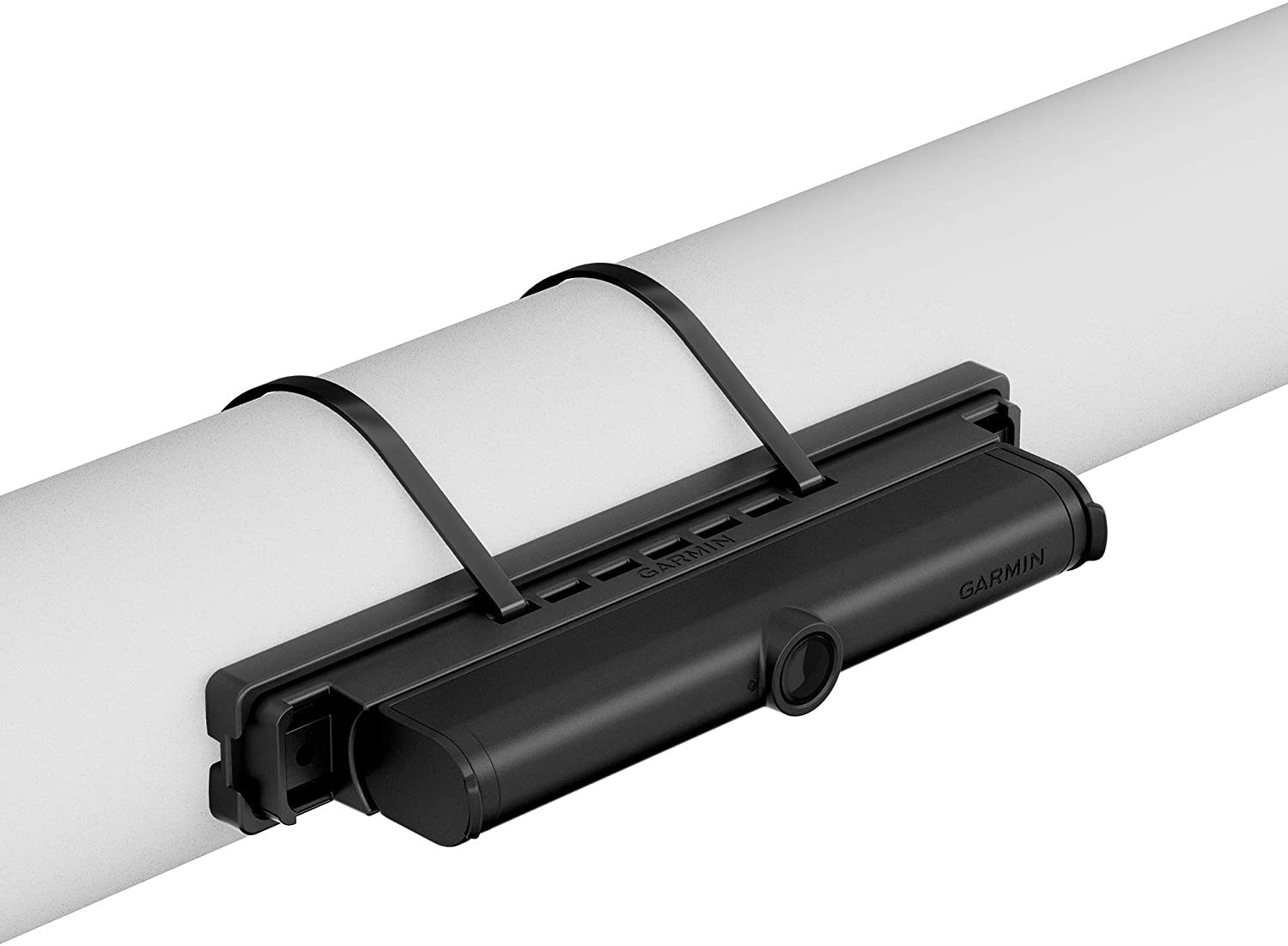 Garmin - BC 40 Wireless Backup Camera with Tube Mount
$149.99 Sale Price $7.50 Donation Included -
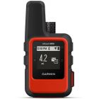
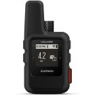 Garmin - inReach Mini, Lightweight and Compact Satellite Communicator, Black
$349.99 Sale Price $17.49 Donation Included -
 Garmin Rino 755t, Rugged Handheld 2-Way Radio/GPS Navigator with Camera and Preloaded TOPO Mapping
$649.99 Sale Price $32.99 Donation Included -
-
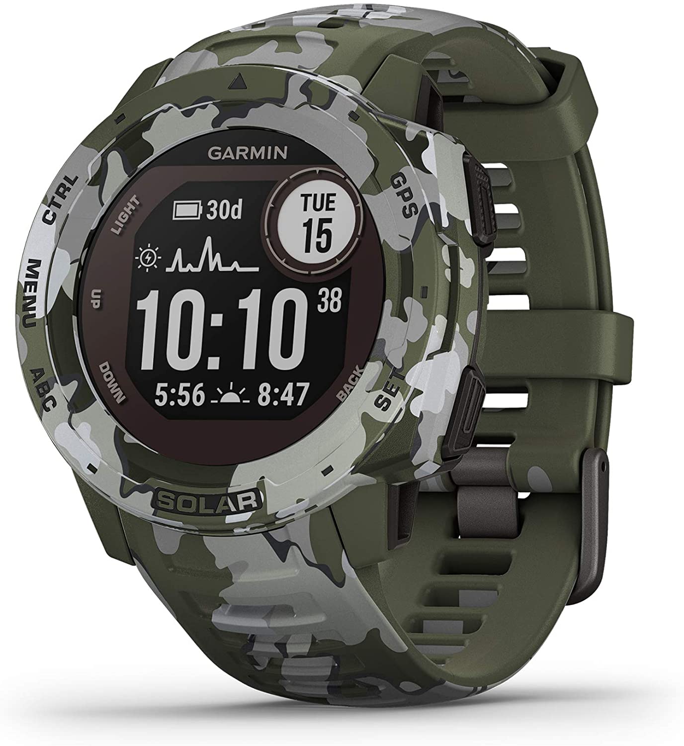
 Garmin - Instinct Solar Edition Tactical Rugged Outdoor Smartwatch, Moss Green
$449.99 Sale Price $22.49 Donation Included -
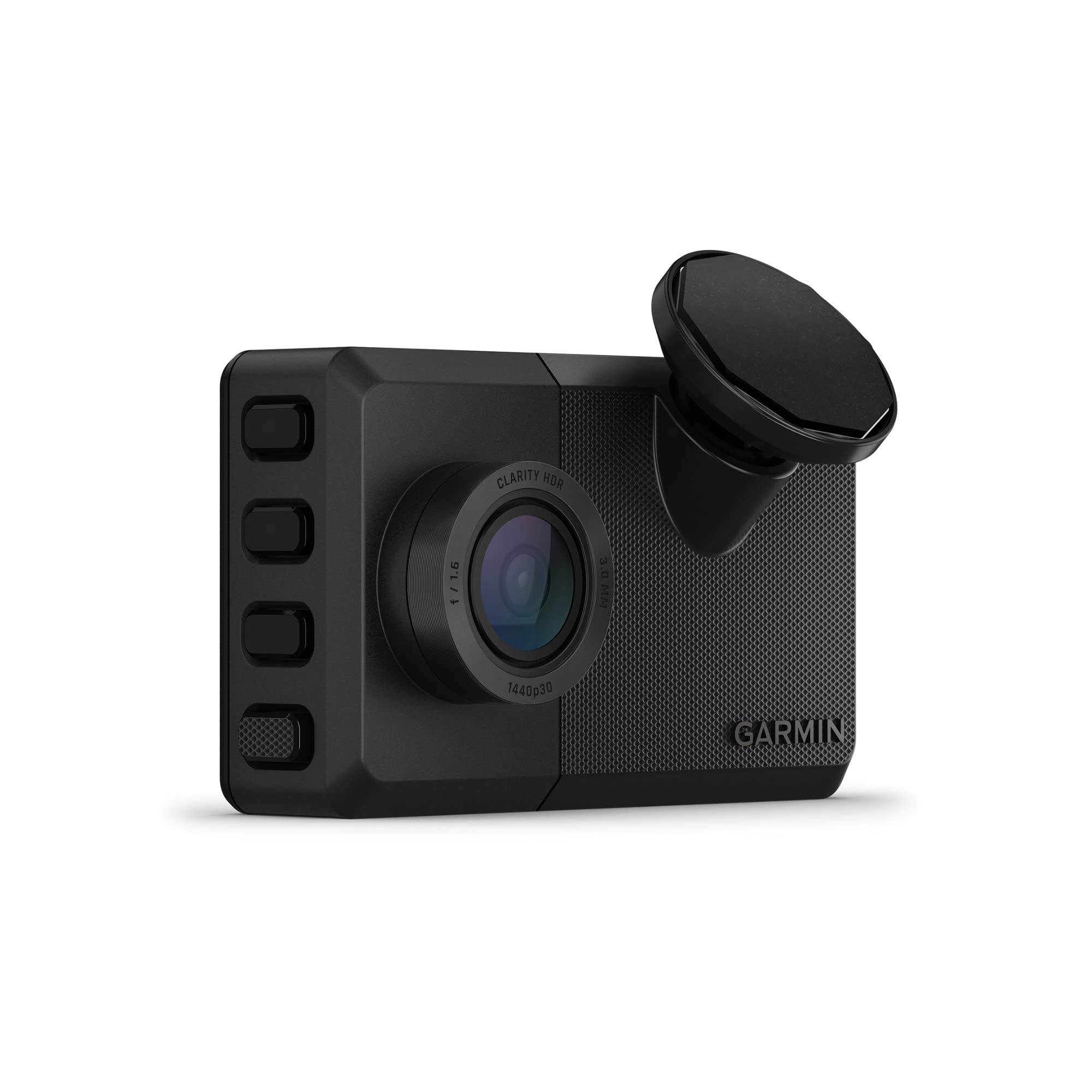
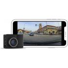 Garmin - Dash Cam 57, GPS, Compact and Discreet Dash Camera
$229.99 Sale Price $11.49 Donation Included -
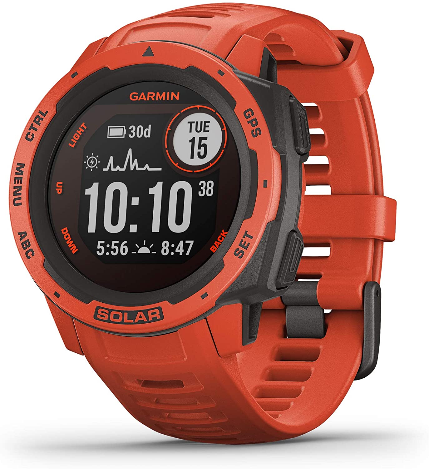
 Garmin - Instinct Solar, Solar-Powered Rugged Outdoor Smartwatch, Lichen Camo
$449.99 Sale Price $22.50 Donation Included -
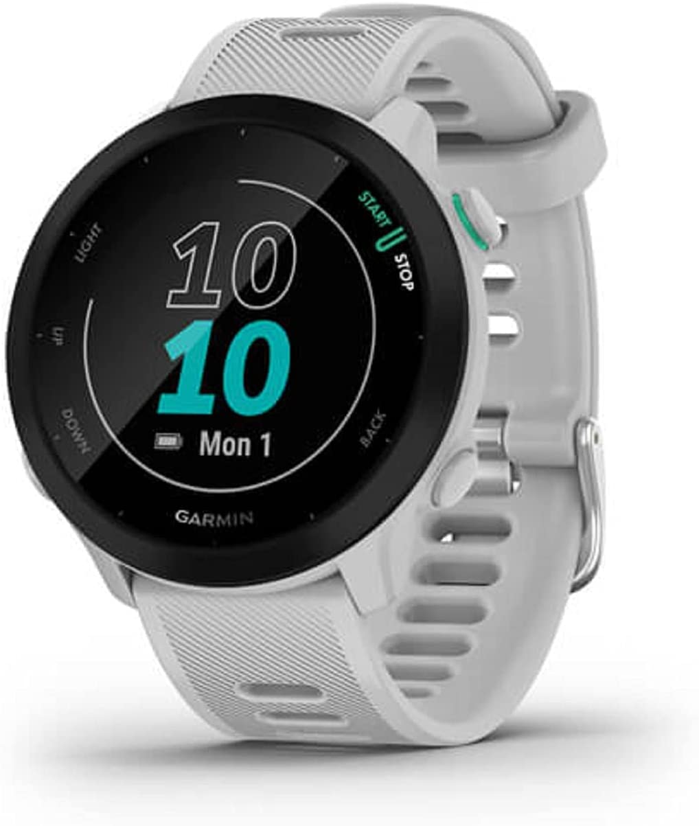 Garmin - Forerunner 55 GPS Multisport Smartwatch, White
$199.99 Sale Price $10.00 Donation Included -
 Garmin - Montana 700 Rugged GPS Touchscreen Navigator
$599.99 Sale Price $30.00 Donation Included -
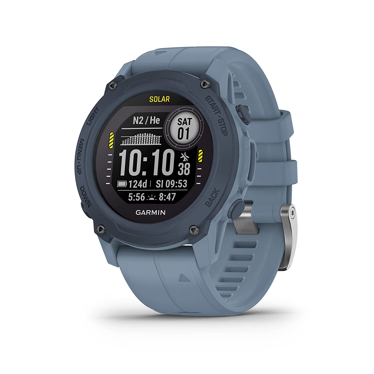
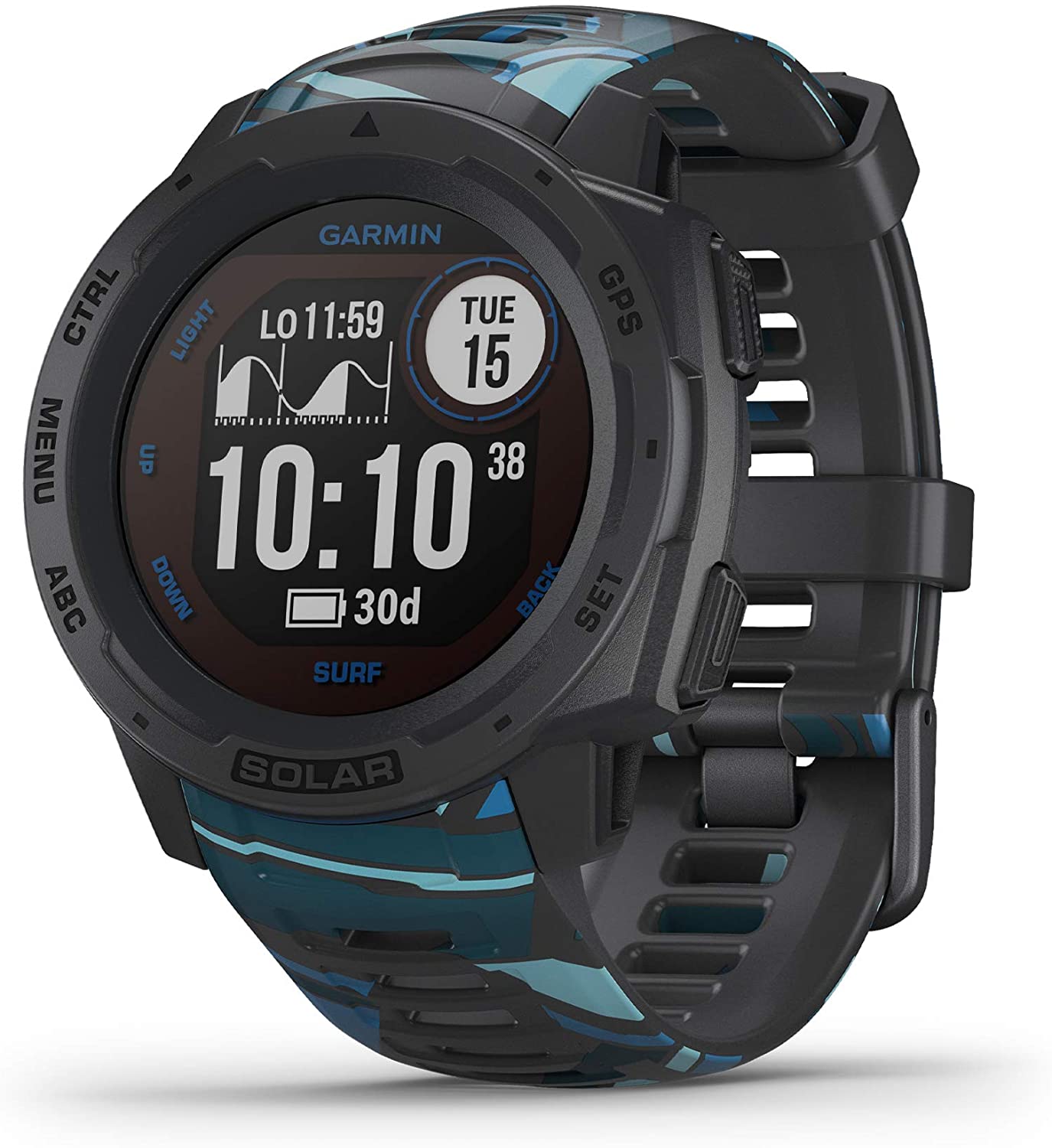
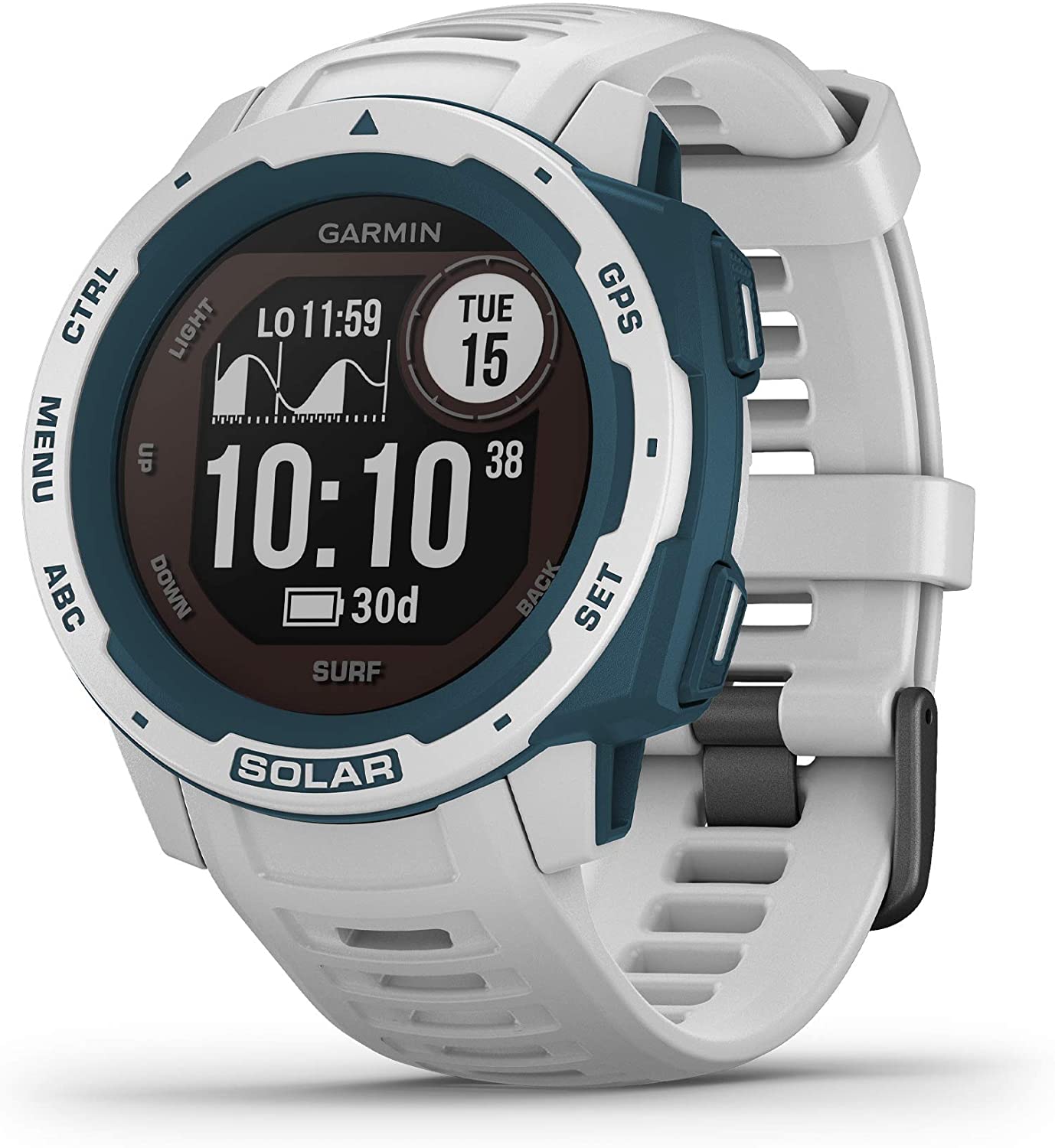 Garmin - Instinct Solar Surf, Solar-Powered Rugged Outdoor Smartwatch, Cloudbreak
$449.99 Sale Price $22.50 Donation Included -
 Garmin - Tread XL Baja Race Edition, 10" Off-Road Race Navigator
$2,499.99 Sale Price $125.00 Donation Included -
 Garmin - Fenix 7S Sapphire Solar Edition, Adventure Bluetooth Touchscreen Smartwatch, Cream Gold Titanium with Light Sand Band
$899.99 Sale Price $45.00 Donation Included -
 Garmin - Venu 2S, Smaller-Sized GPS Smartwatch, Graphite Case and Silicone Band
$399.99 Sale Price $19.99 Donation Included -
 Garmin - Forerunner 745 GPS Smart Running Watch, Tropic
$499.99 Sale Price $25.00 Donation Included -
 Garmin - Instinct Solar GPS Smartwatch, Tidal Blue
$399.99 Sale Price $20.00 Donation Included -
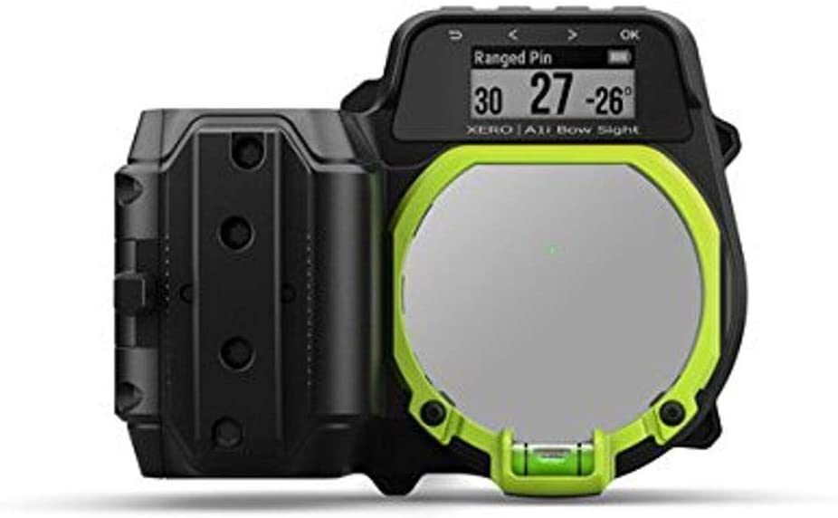
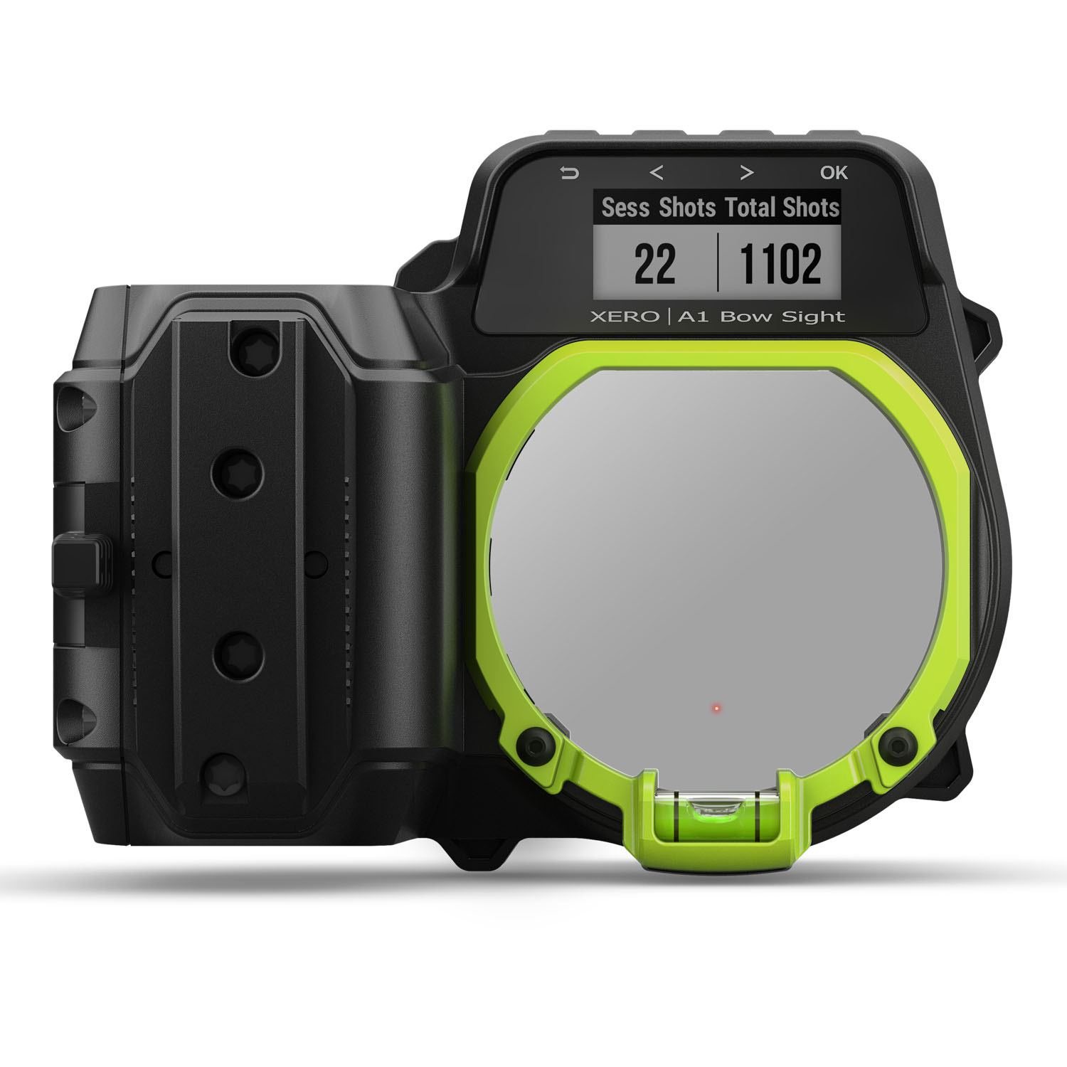
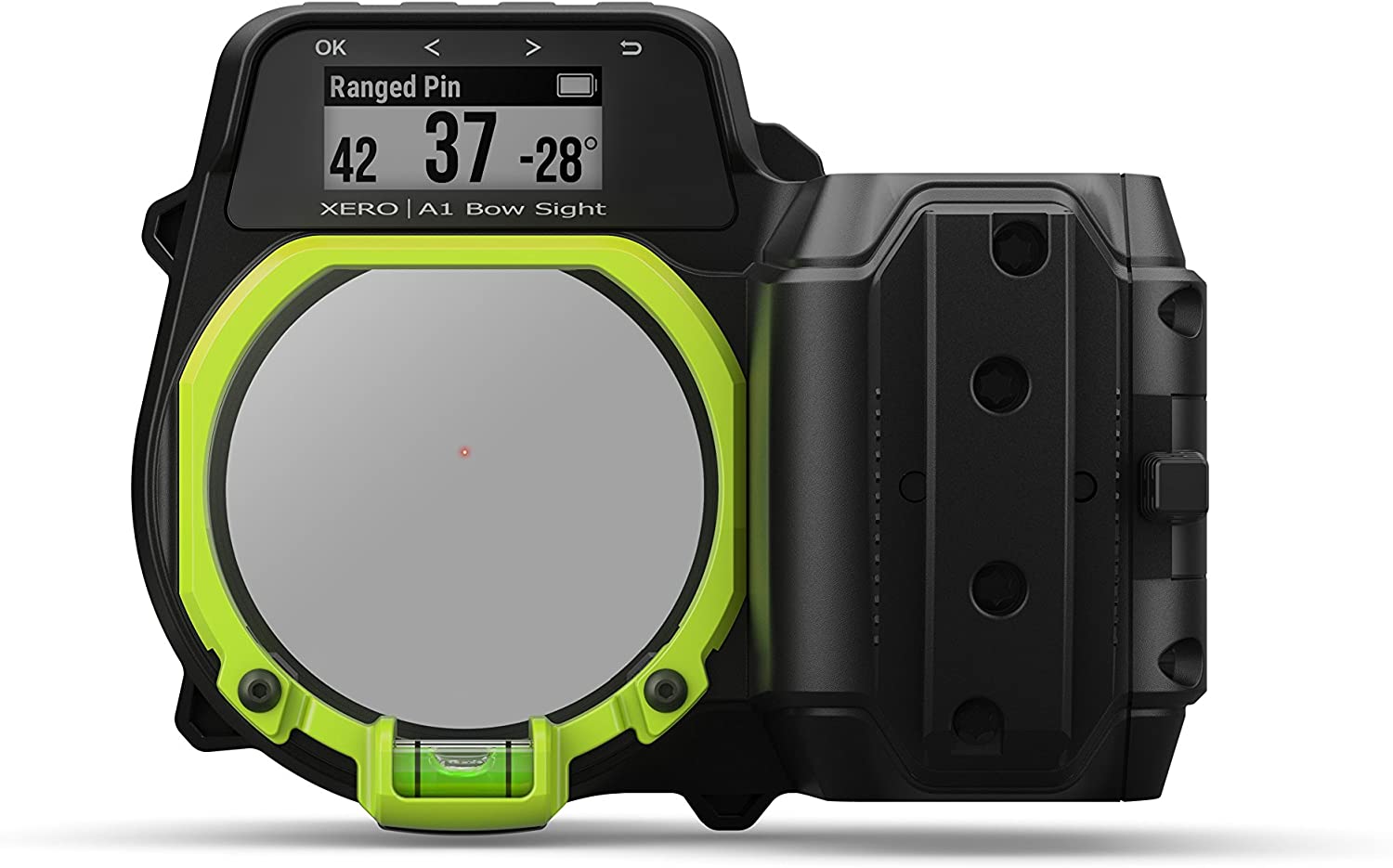 Garmin - Xero A1 Bow Sight, 2" Auto-Ranging Digital Bow Sight, LED Pins for Unobstructed Views, Right-Handed
$799.99 Sale Price $40.00 Donation Included -
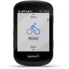 Garmin - Edge 530 Performance GPS Cycling/Bike Computer
$299.99 Sale Price $14.99 Donation Included -
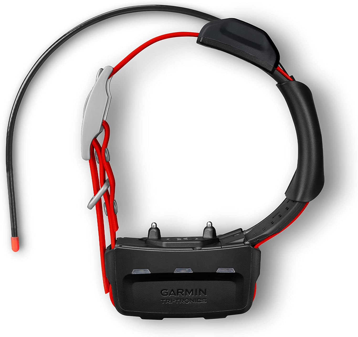
 Garmin - PT 10 Dog Device with Built-in Barklimiter, Blue
$149.99 Sale Price $7.50 Donation Included -
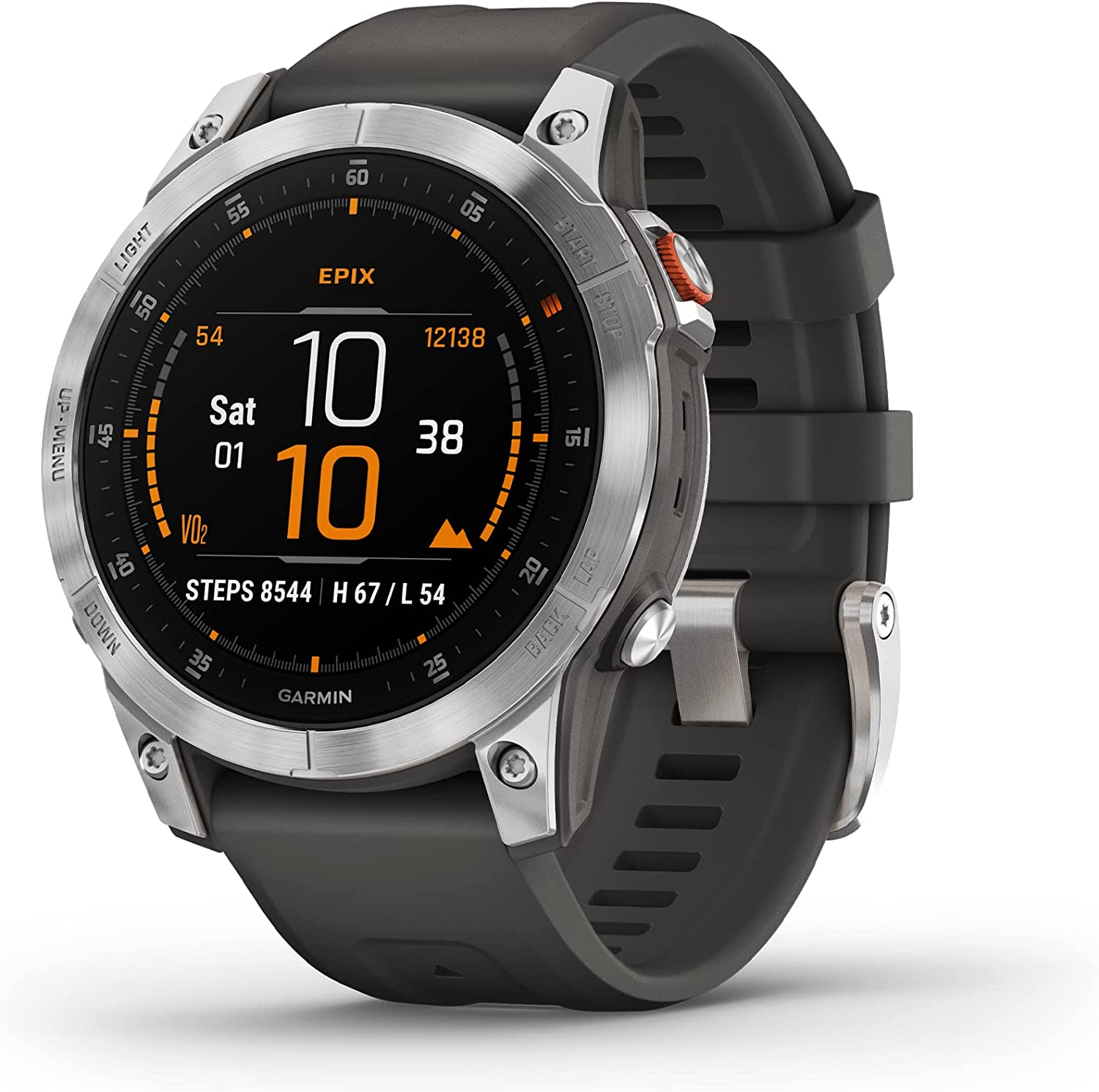
 Garmin - Epix Gen 2, Premium Active Adventure Smartwatch with Touchscreen AMOLED Display
$899.99 Sale Price $45.00 Donation Included -
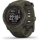
 Garmin - Instinct Tactical Rugged GPS Watch, Coyote Tan
$299.99 Sale Price $14.99 Donation Included -
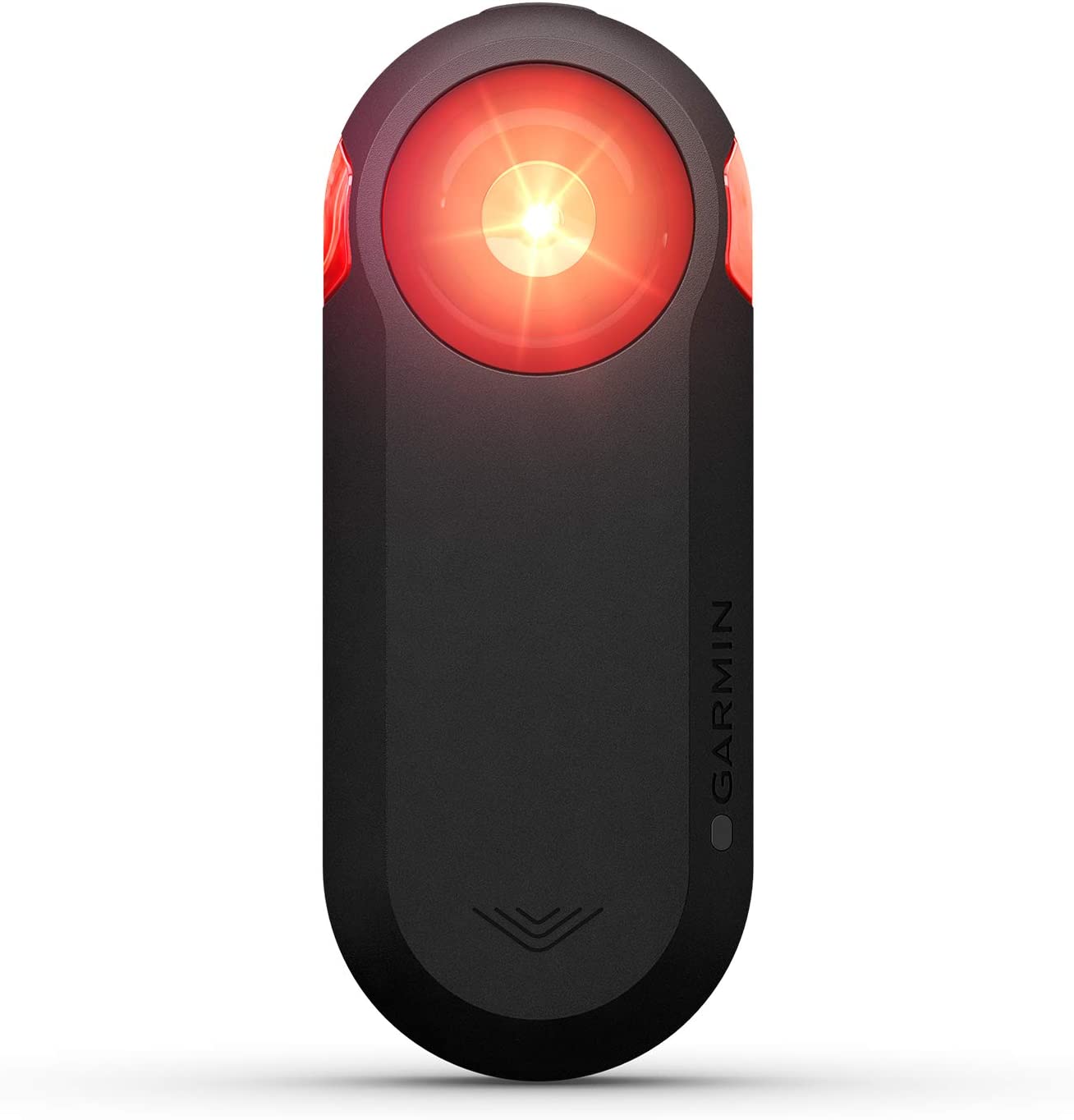
 Garmin - Varia RCT715, Bicycle Radar with Camera and Tail Light, Continuous Recording, Vehicle Detection
$399.99 Sale Price $20.00 Donation Included -
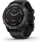
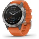 Garmin - Fenix 6, Sapphire, Titanum/Ember Orange
$849.99 Sale Price $42.49 Donation Included -
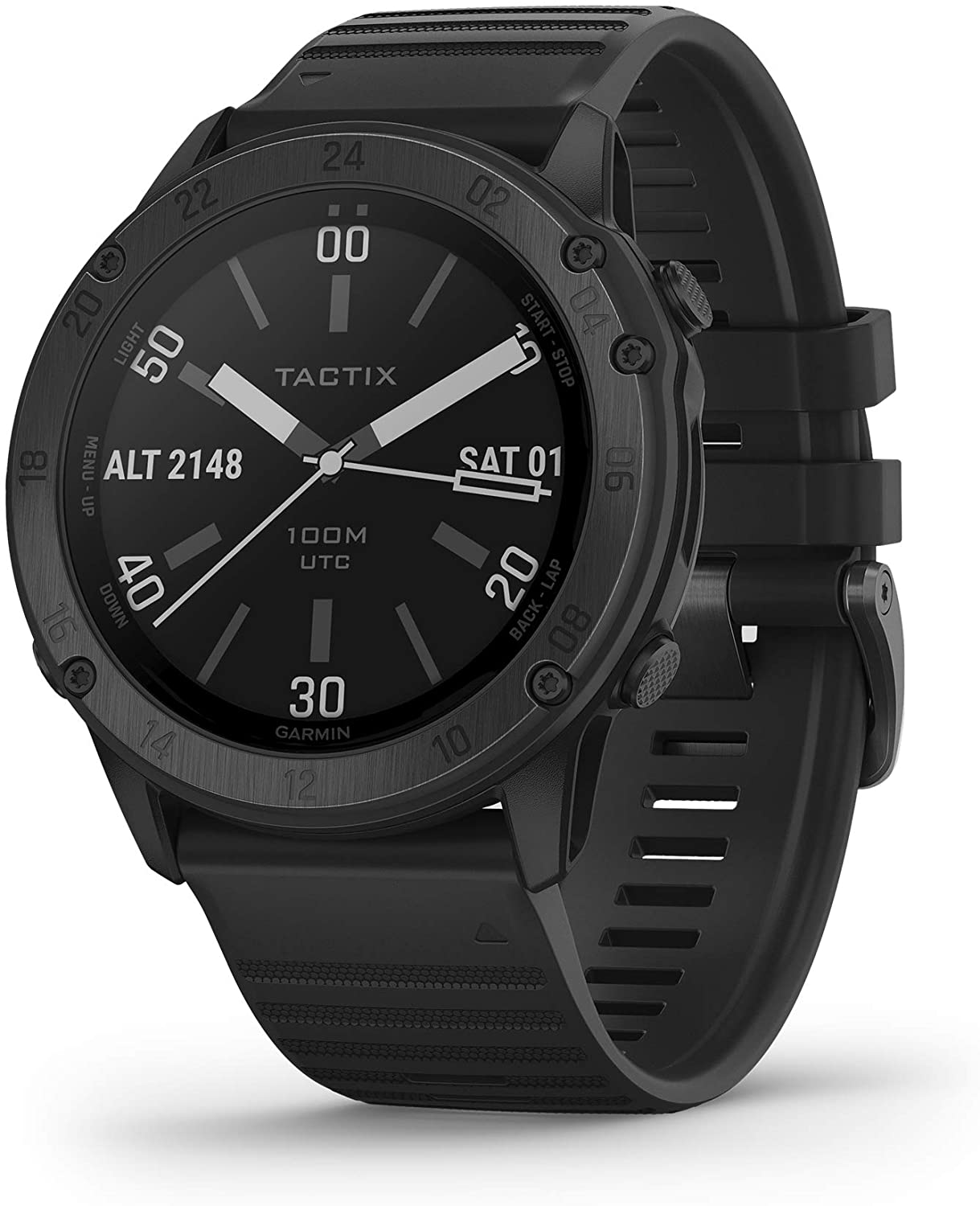 Garmin - Tactix Delta Premium Specialized Tactical GPS Smartwatch
$899.99 Sale Price $45.00 Donation Included -
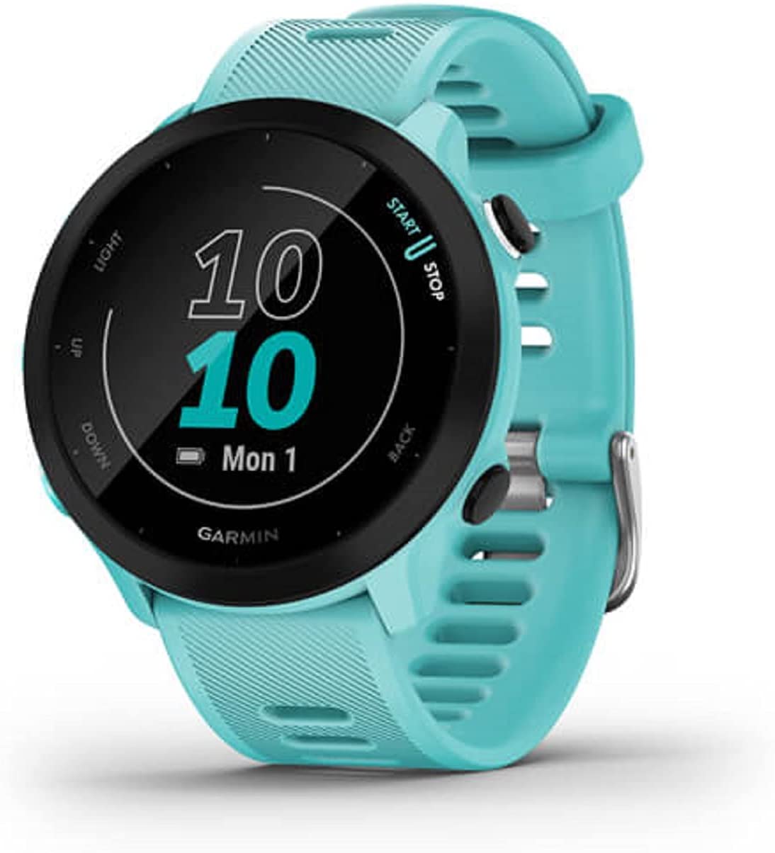 Garmin - Forerunner 55 GPS Multisport Smartwatch, Aqua
$199.99 Sale Price $10.00 Donation Included -
 Garmin - Forerunner 45s GPS Running Watch, White
$199.99 Sale Price $9.99 Donation Included -
 Garmin - Lily Small GPS Smartwatch with Touchscreen
$249.99 Sale Price $12.50 Donation Included -
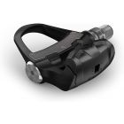
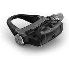
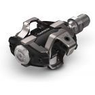
 Garmin - Rally Power Meter Pedals
$649.99 Sale Price $32.49 Donation Included -
 Garmin - Fenix 7S Standard Edition, Rugged Outdoor Bluetooth Touchscreen Smartwatch, Silver with Graphite Band
$699.99 Sale Price $35.00 Donation Included -
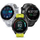
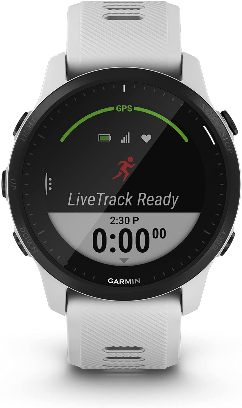
 Garmin - Forerunner 945 LTE GPS Multisport Smartwatch, Black
$649.99 Sale Price $32.50 Donation Included -
 Garmin - Dash Cam Mini 2, NA
$129.99 Sale Price $6.49 Donation Included -
 Garmin - Forerunner 945, Black
$599.99 Sale Price $29.99 Donation Included -
 Garmin - Fenix 7 Solar Edition, Rugged Adventure Bluetooth Touchscreen Smartwatch, Slate Gray with Black Band
$799.99 Sale Price $40.00 Donation Included -
 Garmin - Forerunner 45 GPS Running Watch, Black
$199.99 Sale Price $9.99 Donation Included -
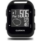
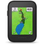
 Garmin - Approach Z82 Hybrid Golf GPS Laser Range Finder with 2-D Course Overlays
$599.99 Sale Price $29.99 Donation Included -
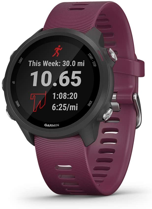
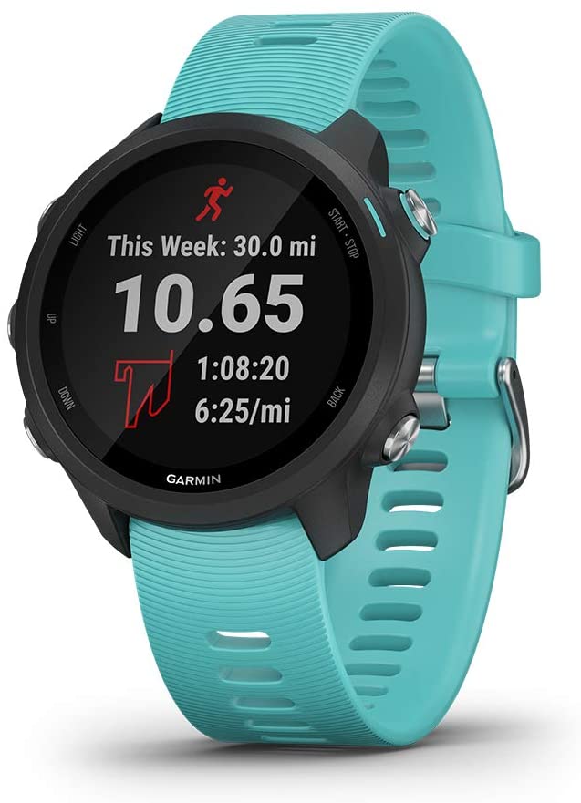
 Garmin - Forerunner 245, Slate Gray
$299.99 Sale Price $14.99 Donation Included -
 Garmin - Alpha10, Handheld Only, US
$399.99 Sale Price $19.99 Donation Included -
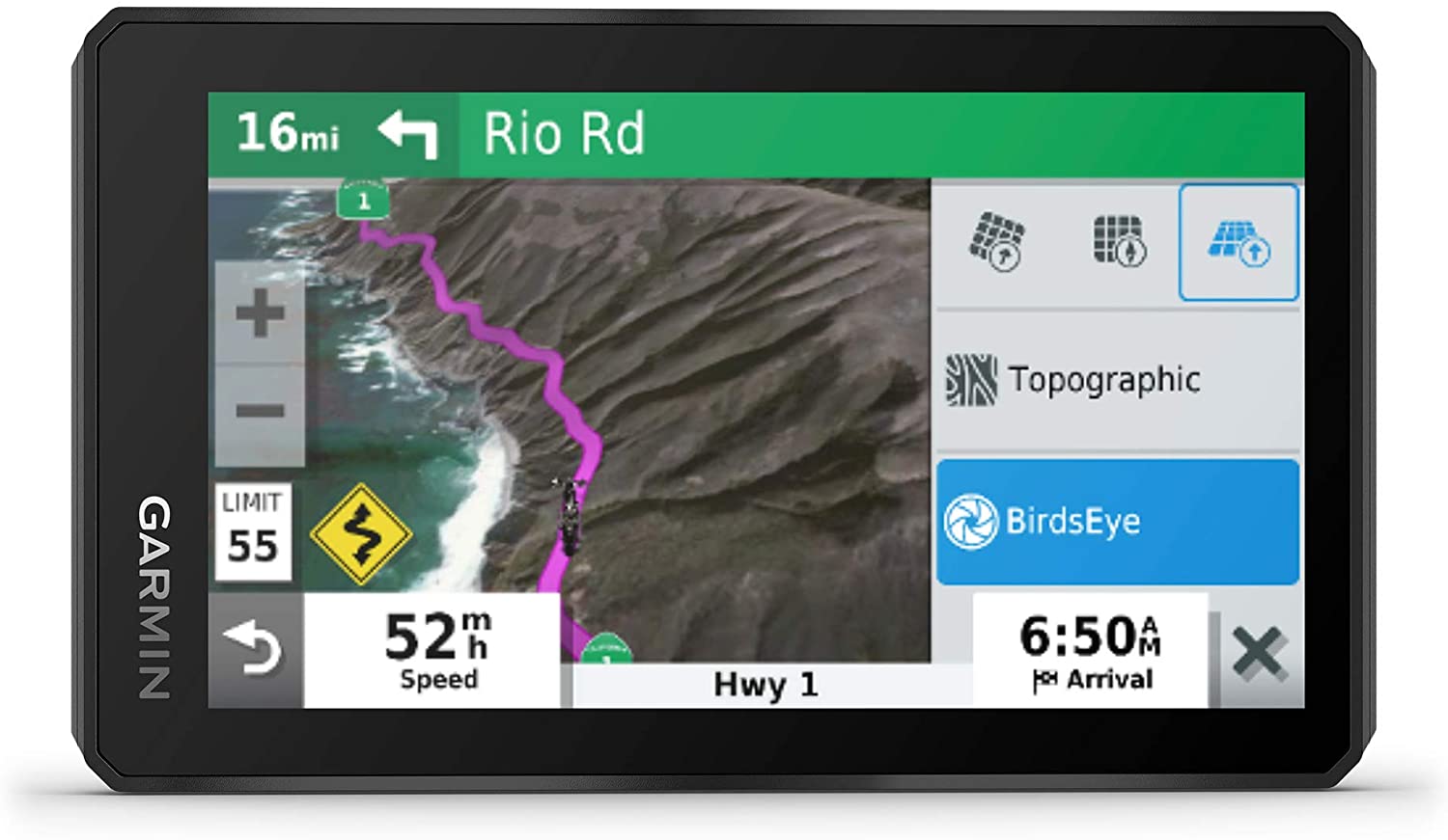
 Garmin - Tread Powersport Off-Road Navigator
$799.99 Sale Price $39.99 Donation Included -
 Garmin - Instinct Solar, Rugged Outdoor Smartwatch, Graphite
$399.99 Sale Price $19.99 Donation Included -
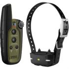
 Garmin - Group Ride Radio
$349.99 Sale Price $17.49 Donation Included -
 Garmin - Fenix 6, Sapphire, Carbon Gray DLC with Black Band
$749.99 Sale Price $37.49 Donation Included -
 Garmin - Varia RTL510 Cycling Radar Tail Light
$199.99 Sale Price $9.99 Donation Included -
 Garmin - HRM-Dual Heart Rate Monitor
$69.99 Sale Price $3.49 Donation Included -
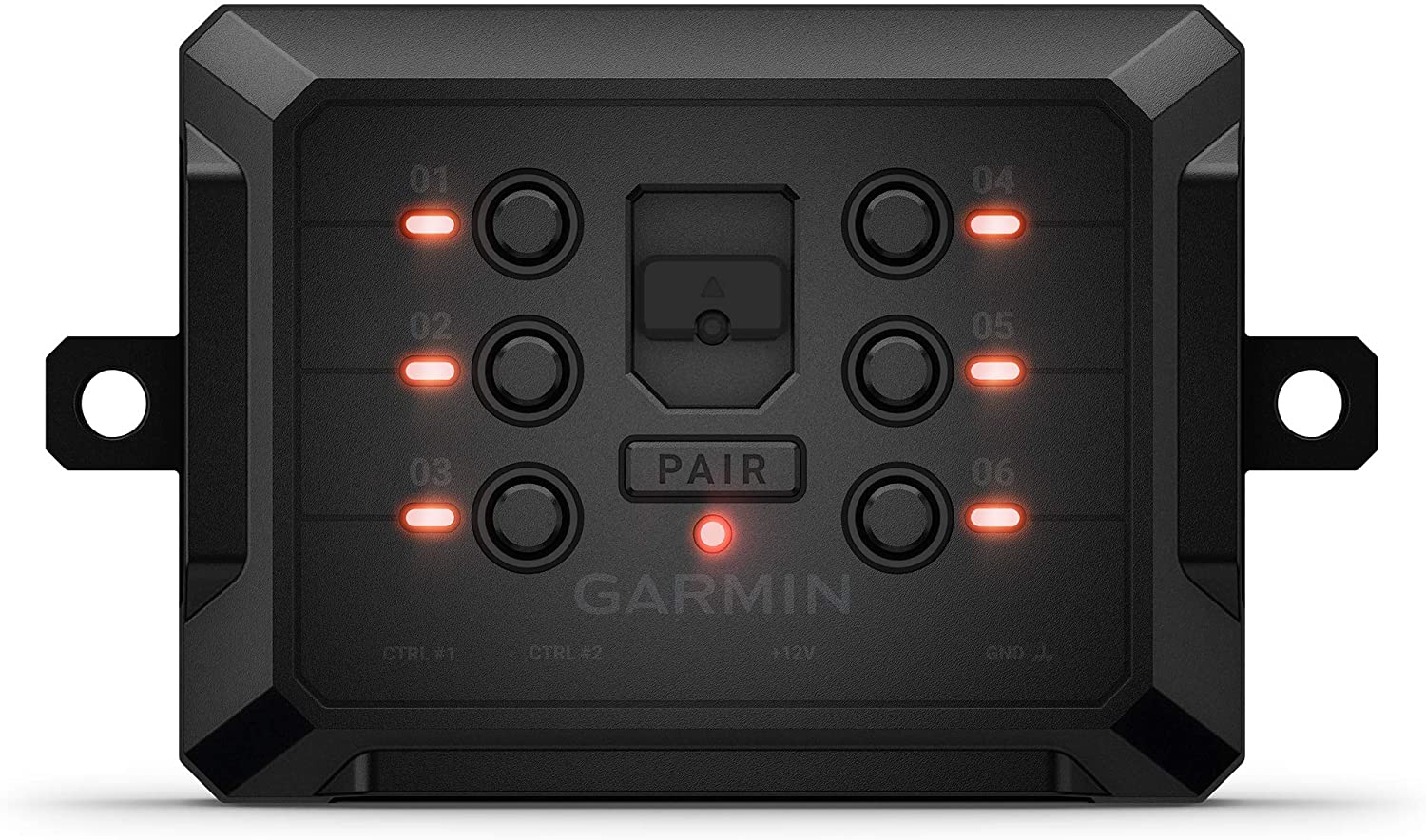 Garmin - PowerSwitch 6 Gang Compact Digital Switch Box Switch Panel
$499.99 Sale Price $25.00 Donation Included -
 Garmin - Venu 2, GPS Fitness Smartwatch, Blue Case and Silicone Band
$399.99 Sale Price $19.99 Donation Included -
 Garmin - TT15 GPS Dog Training Collar
$299.99 Sale Price $14.99 Donation Included -
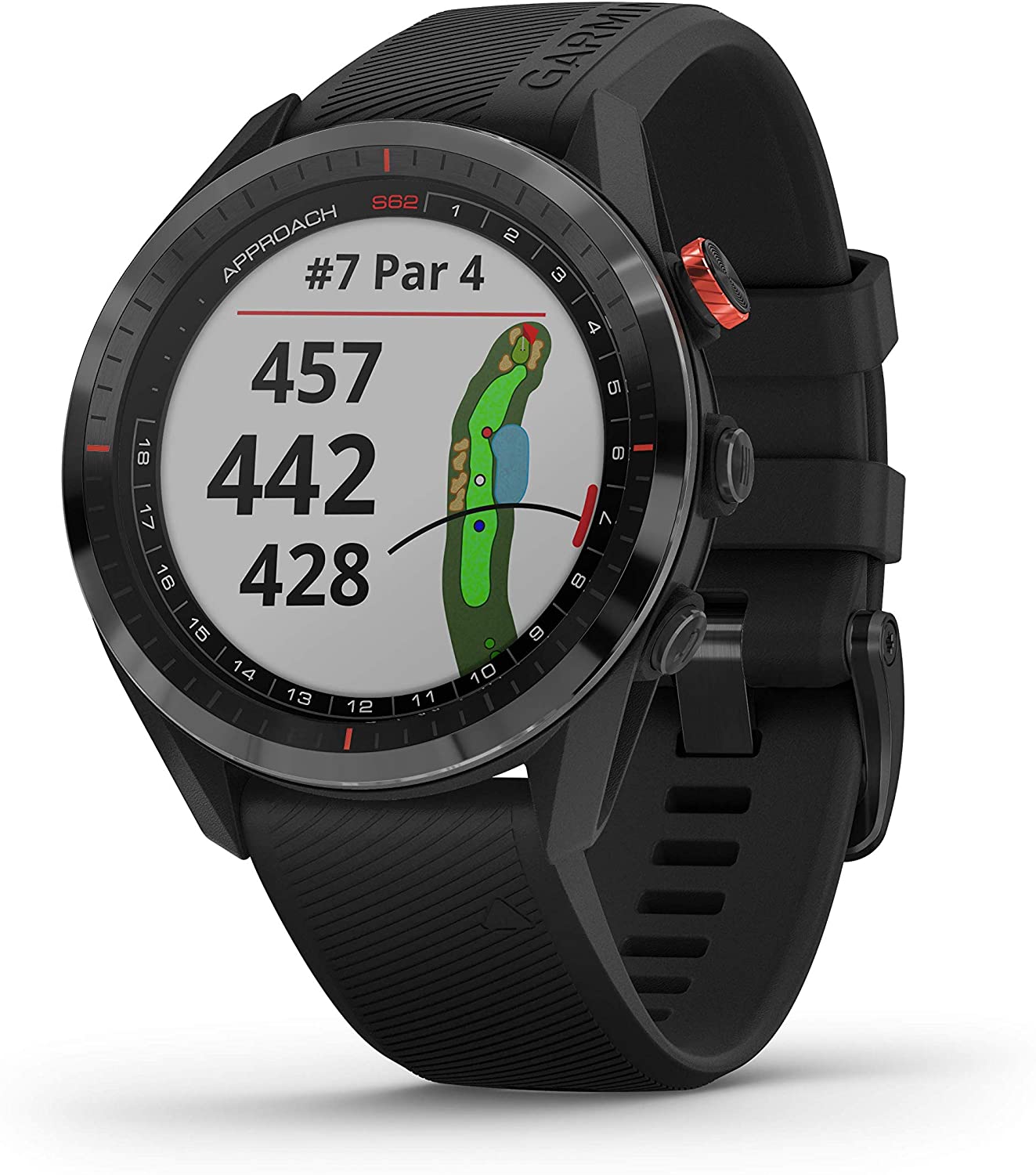 Garmin - Approach S62 Premium Golf GPS Watch, Black
$499.99 Sale Price $25.00 Donation Included -
 Garmin - Forerunner 745 GPS Smart Running Watch
$499.99 Sale Price $25.00 Donation Included -
 Garmin - Approach® S62 Bundle Premium Golf GPS Watch with 3 CT10 Club Tracking Sensors
$549.99 Sale Price $27.49 Donation Included -
 Garmin - Rally RS200, Dual-Sensing Power Meter, Compatible with Shimano SPD-SL Cleats
$1,099.99 Sale Price $54.99 Donation Included -
 Garmin - Fenix 6S, Pro, Black/Black
$649.99 Sale Price $32.49 Donation Included -
 Garmin - Dash Cam 67W, GPS, Compact and Discreet Dash Camera
$259.99 Sale Price $12.99 Donation Included -
 Garmin - GPSMAP 66i, GPS Handheld and Satellite Communicator, Featuring TopoActive mapping and inReach Technology
$599.99 Sale Price $30.00 Donation Included -
 Garmin - Vivoactive 4,Fitness GPS Smartwatch Black with Slate Hardware
$349.99 Sale Price $17.49 Donation Included -
 Garmin - Instinct Tactical Rugged GPS Watch, Black
$299.99 Sale Price $14.99 Donation Included -
 Garmin - Instinct Rugged Outdoor GPS Watch, Graphite
$299.99 Sale Price $14.99 Donation Included -
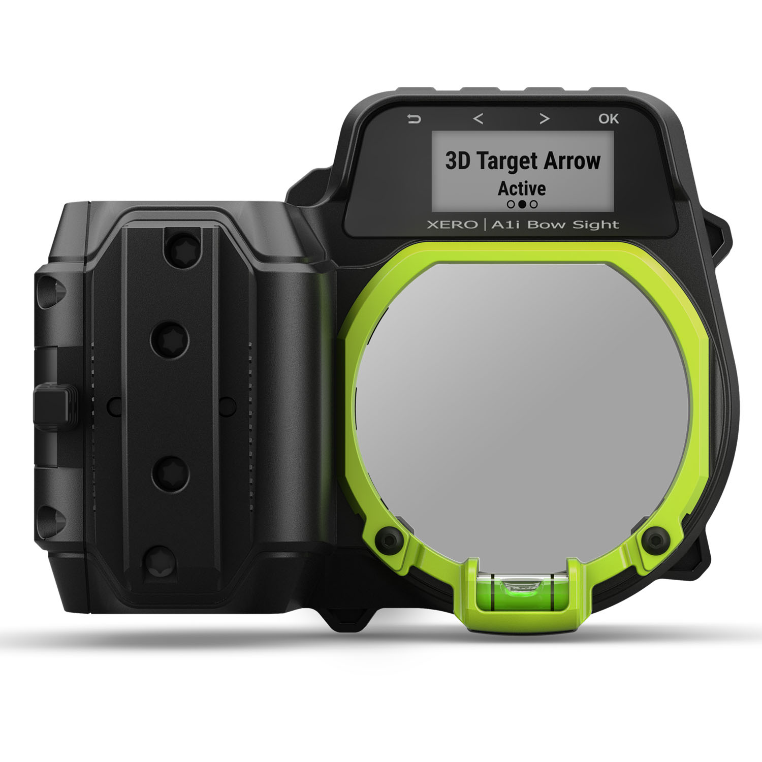 Garmin - Xero A1i Bow Sight, 2" Auto-Ranging Digital Bow Sight with Laser Locate, Dual-color LED Pins for Unobstructed Views, Left-Handed
$999.99 Sale Price $50.00 Donation Included -
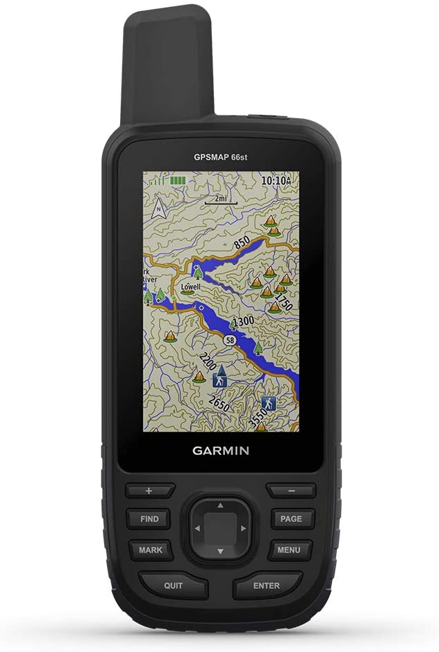 Garmin - GPSMAP 66st, Rugged Multisatellite Handheld with Sensors and Topo Maps, 3" Color Display
$499.99 Sale Price $25.00 Donation Included -
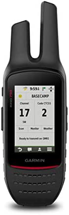 Garmin - Rino 750, Rugged Handheld 2-Way Radio/GPS Navigator
$549.99 Sale Price $27.50 Donation Included -
 Garmin - Vivofit 4 Activity Tracker, Black, S/M
$79.99 Sale Price $3.99 Donation Included -
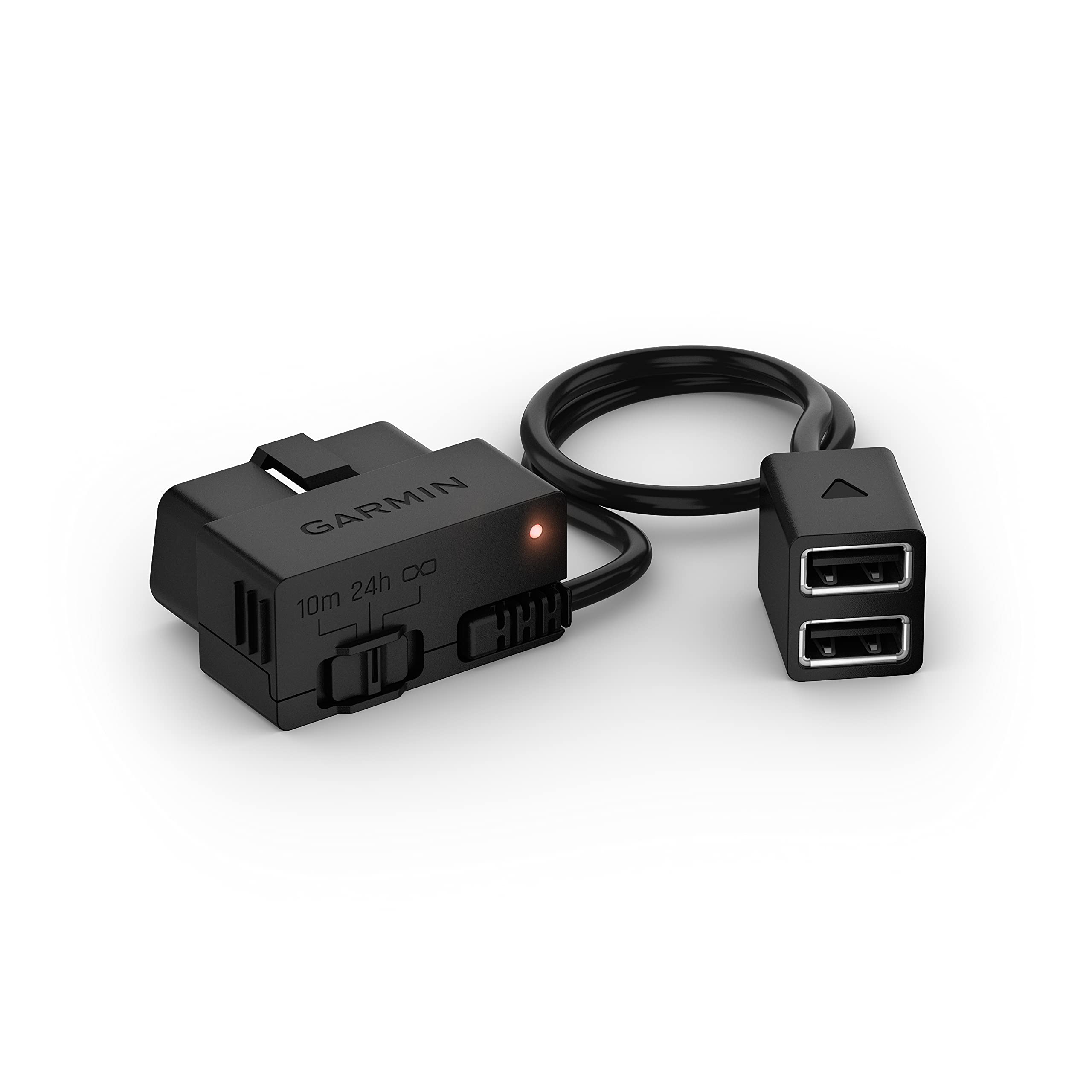 Garmin - Constant Power Cable, Compatible with Garmin Dash Cam, Fits Vehicle's OBD-II Port for Power Even When Parked and Turned Off
$49.99 Sale Price $2.50 Donation Included -
 Garmin - Instinct Esports Edition, GPS Gaming Smartwatch, Black Lava
$299.99 Sale Price $15.00 Donation Included -
 Garmin - Xero A1i Bow Sight, 2" Auto-Ranging Digital Bow Sight with Laser Locate, Dual-color LED Pins for Unobstructed Views, Right-Handed
$999.99 Sale Price $50.00 Donation Included -
 Garmin - Tread Overland, All-Terrain Navigator, Rugged, Built in Mapping, iOverlander, Ultrabright Display
$1,299.99 Sale Price $65.00 Donation Included -
 Garmin - Approach® S62 Premium Golf GPS Watch
$499.99 Sale Price $24.99 Donation Included -
 Garmin - Tread XL Overland, All-Terrain Navigator, Rugged, Built in Mapping, iOverlander, Ultrabright Display, Large
$1,499.99 Sale Price $75.00 Donation Included -
 Garmin - Tread 6.5" XS-LED Tower, Rugged Design, Wireless Controller with Premium Quality Audio
$599.99 Sale Price $30.00 Donation Included -
 Garmin - Forerunner 745 GPS Smart Running Watch, Red
$499.99 Sale Price $25.00 Donation Included -
 Garmin - HRM-Pro, Premium Heart Rate Monitor with Chest Strap
$129.99 Sale Price $6.49 Donation Included -
 Garmin - Varia RVR315, Cycling Rearview Radar with Visual and Audible Alerts for Vehicles Up to 153 Yards Away
$149.99 Sale Price $7.50 Donation Included -
 Garmin - Fenix 7S Sapphire Solar Edition, Adventure Bluetooth Touchscreen Smartwatch, Carbon Gray DLC Titanium with Black Band
$899.99 Sale Price $45.00 Donation Included -
 Garmin - Xero A1 Bow Sight, 2" Auto-Ranging Digital Bow Sight, LED Pins for Unobstructed Views, Left-Handed
$799.99 Sale Price $40.00 Donation Included -
 Garmin - Vivoactive 4S, Smaller-Sized GPS Smartwatch, White/Rose Gold
$349.99 Sale Price $17.49 Donation Included -
 Garmin - Overlander Rugged Multipurpose Navigator
$699.99 Sale Price $35.00 Donation Included -
 Garmin - PT 10 Dog Device with Built-in Barklimiter, Red
$149.99 Sale Price $7.50 Donation Included -
 Garmin - Vivoactive 4S, Smaller-Sized GPS Smartwatch, Powder Gray/Silver
$349.99 Sale Price $17.49 Donation Included -
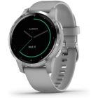
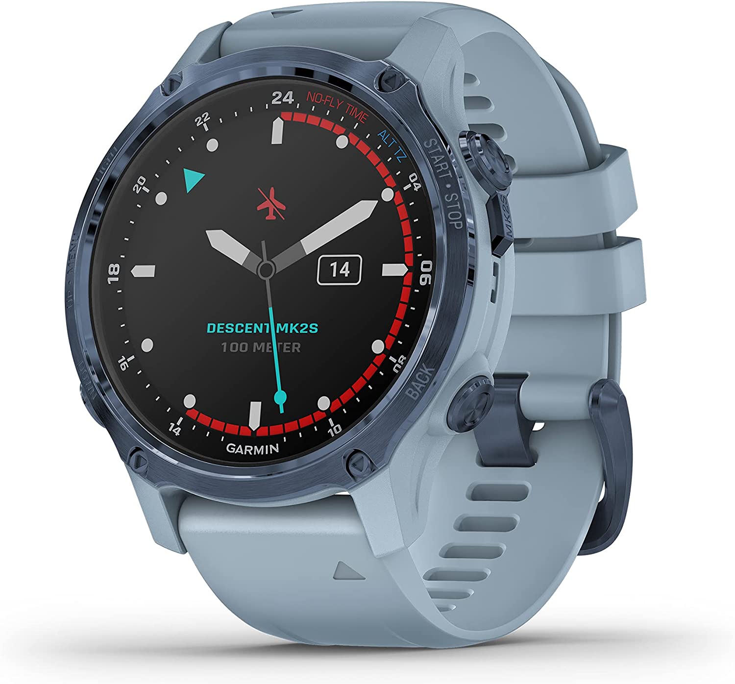
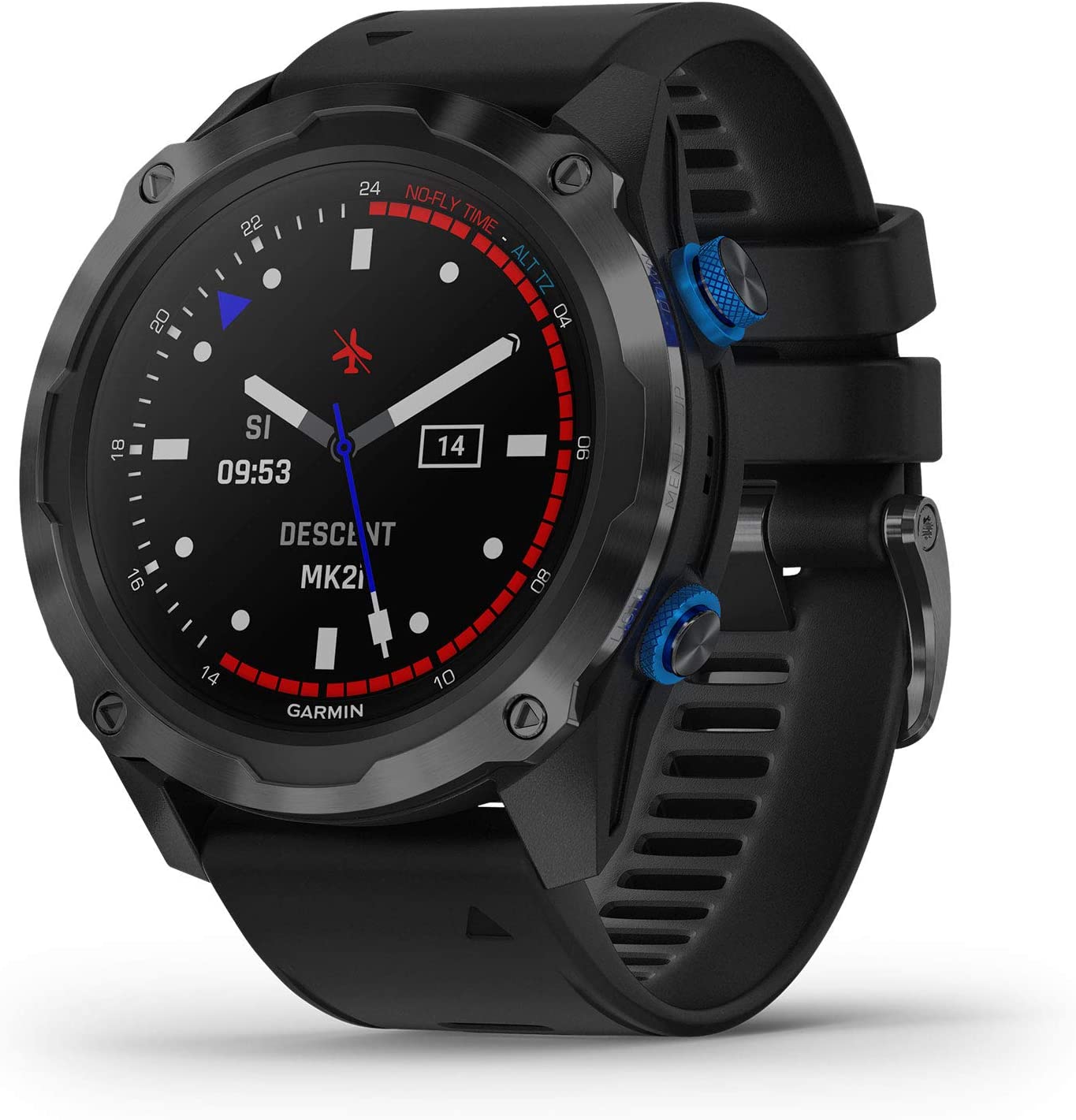
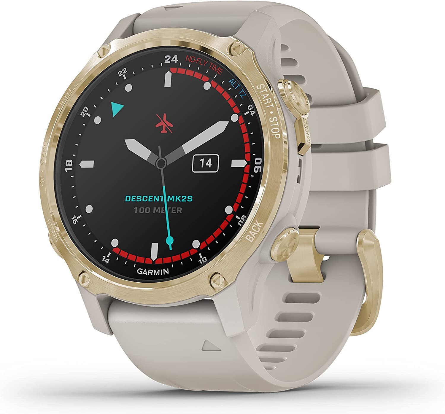 Garmin - Descent Mk2S, Diving Smartwatch, Light Gold with Light Sand Silicone Band
$999.99 Sale Price $50.00 Donation Included -
 Garmin - Rally XC100, Single-Sensing Power Meter, Compatible with Shimano SPD Cleats
$699.99 Sale Price $34.99 Donation Included -
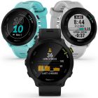
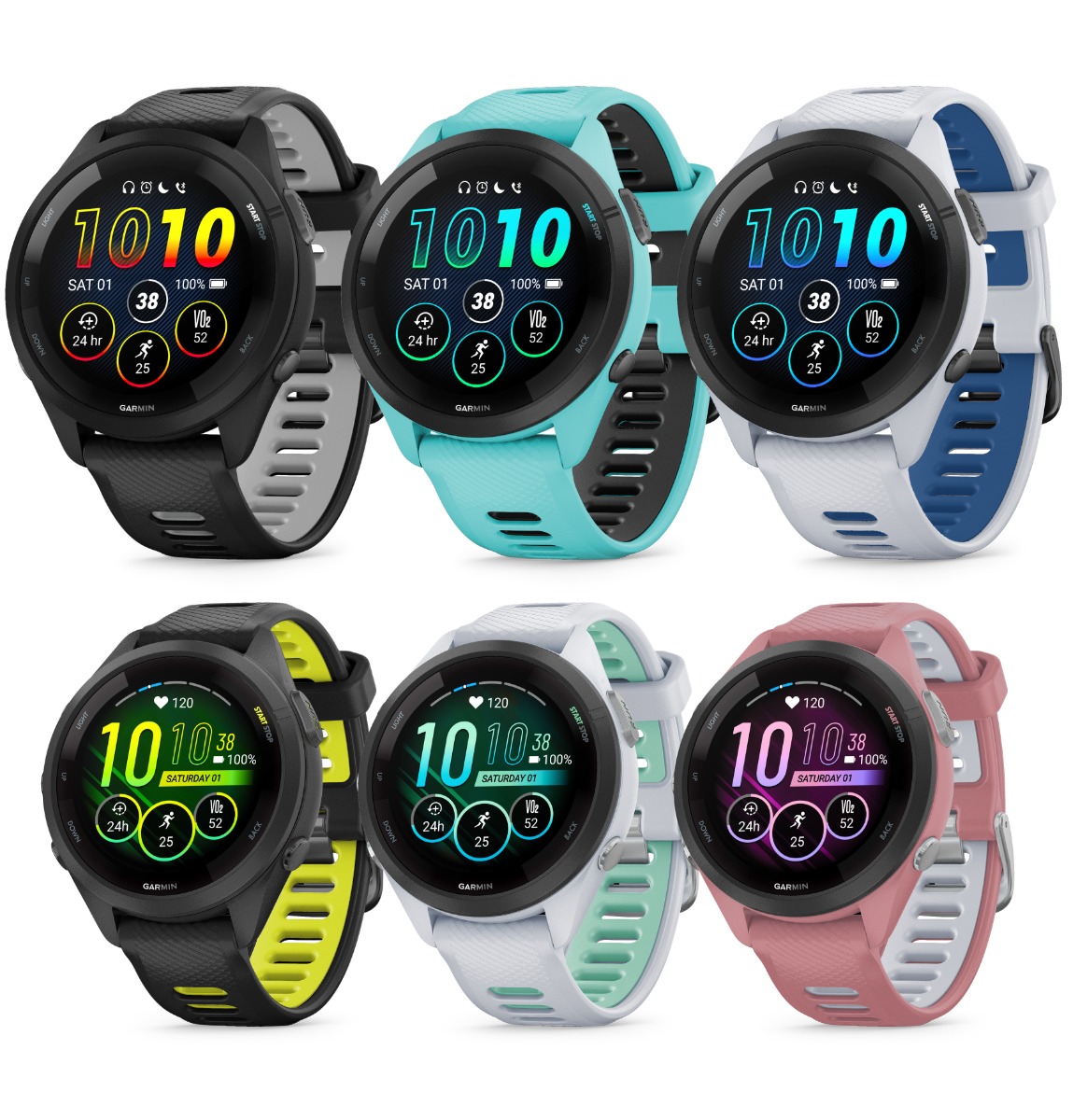 Garmin - Forerunner 265 GPS Running Smartwatch, Daily Suggested Workouts
$449.99 Sale Price $22.50 Donation Included -
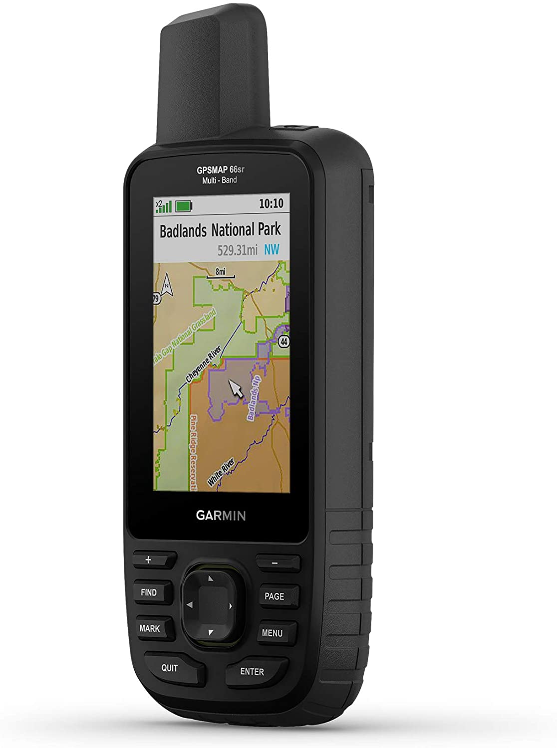 Garmin - GPSMAP 66sr, Hiking Handheld with Expanded GNSS and Multi-Band TechnologyHandheld, 3" Color Display
$499.99 Sale Price $25.00 Donation Included -
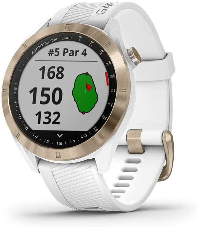
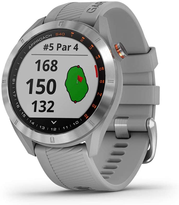
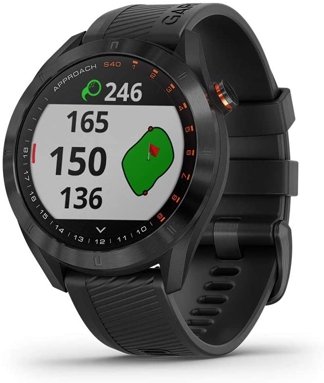 Garmin - Approach S40 Stylish Lightweight GPS Golf Smartwatch, Black
$299.99 Sale Price $15.00 Donation Included -
 Garmin - Forerunner 245 Music, Black
$349.99 Sale Price $17.49 Donation Included -
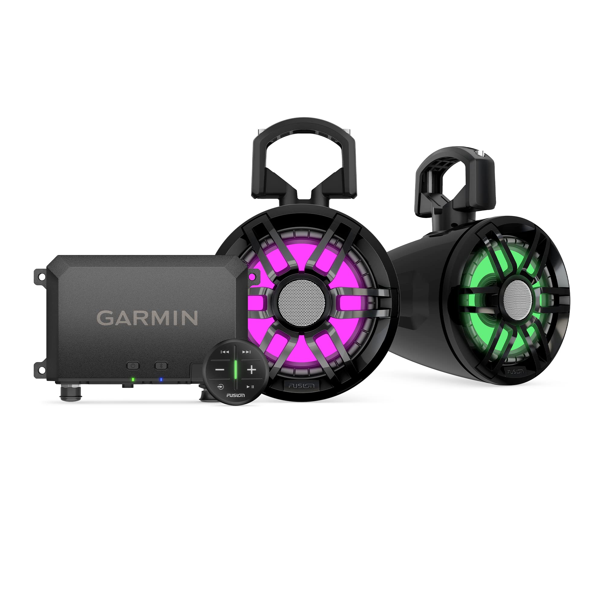 Garmin - Tread Audio System with LED Controller, Rugged Design, Premium Quality Audio, Wireless Control
$1,199.99 Sale Price $60.00 Donation Included -
 Garmin - Instinct Rugged Outdoor GPS Watch, Sea Foam
$299.99 Sale Price $15.00 Donation Included -
 Garmin - Catalyst Driving Performance Optimizer for Motorsports and High Performance Driving
$999.99 Sale Price $50.00 Donation Included -
 Garmin - Instinct Solar Edition Rugged Outdoor Smartwatch, Tactical, Black
$449.99 Sale Price $22.49 Donation Included -
 Garmin - Dash Cam Tandem, GPS, Front and Rear Dash Cam
$299.99 Sale Price $14.99 Donation Included -
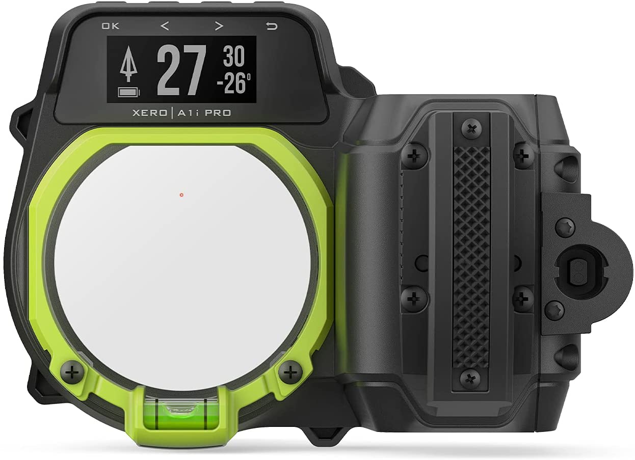
 Garmin - Xero A1i PRO Bow Sight, Left-Handed Auto-ranging Digital Sight with Microadjustments for Elevation, Windage and More
$1,299.99 Sale Price $65.00 Donation Included -
 Garmin - BC 40 Wireless Backup Camera
$149.99 Sale Price $7.50 Donation Included -
 Garmin - Zumo 396, Rugged Motorcycle GPS
$399.99 Sale Price $20.00 Donation Included -
 Garmin - Fenix 7S Standard Edition, Rugged Outdoor Bluetooth Touchscreen Smartwatch, Silver with Whitestone Band
$699.99 Sale Price $35.00 Donation Included -
 Garmin - Edge 830 Performance GPS Cycling/Bike Computer
$399.99 Sale Price $19.99 Donation Included -
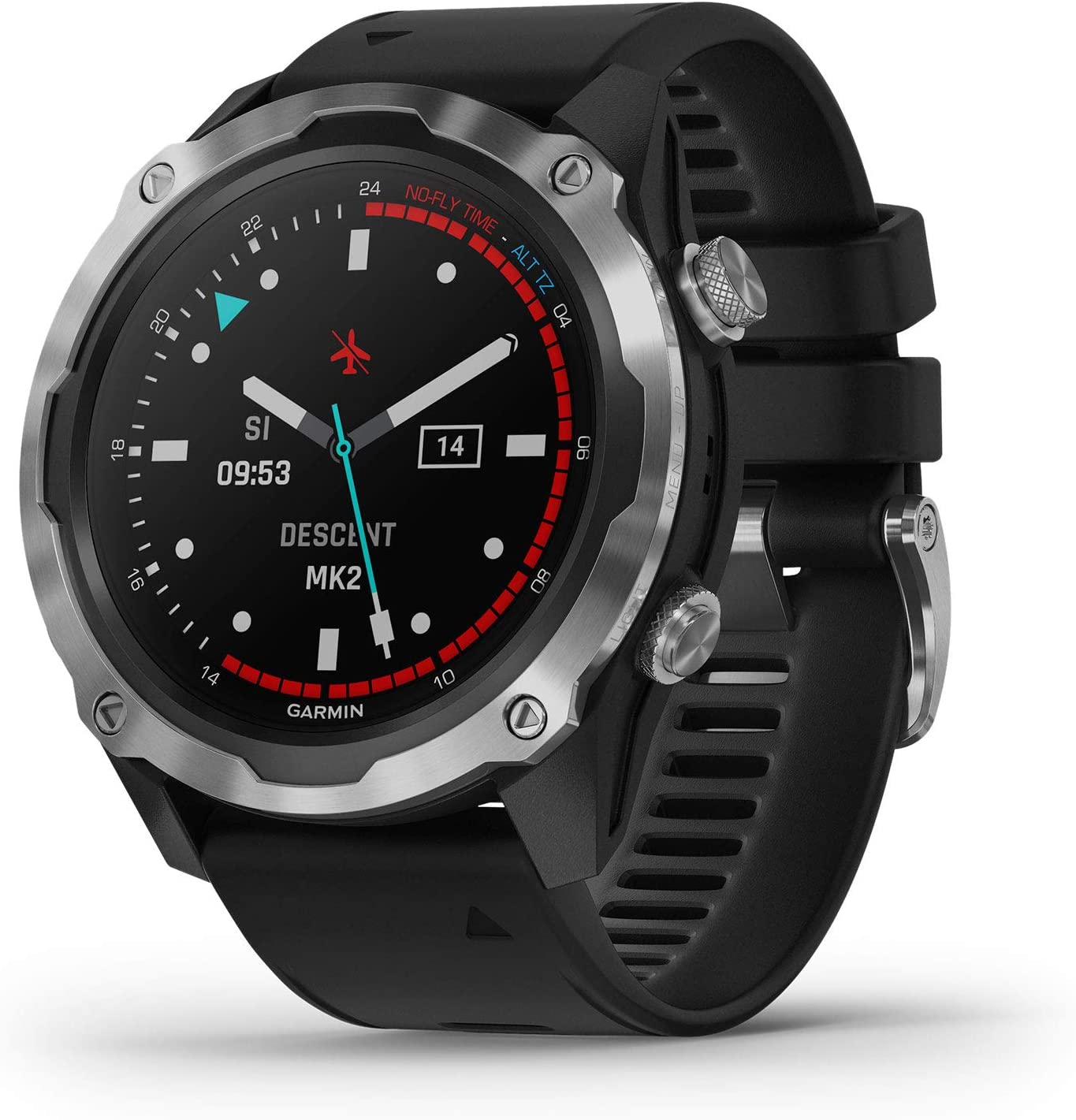
 Garmin - Descent G1 Solar Rugged Diving Smartwatch, Multiple Dive Modes, Activity Tracking, Black
$649.99 Sale Price $32.50 Donation Included -
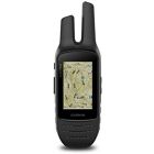
 Garmin - inReach Explorer+, Handheld Satellite Communicator
$449.99 Sale Price $22.49 Donation Included -
 Garmin - Instinct Solar, Solar-Powered Rugged Outdoor Smartwatch, Graphite Camo
$449.99 Sale Price $22.50 Donation Included -
 Garmin - Fenix 7 Sapphire Solar Edition, Adventure Bluetooth Touchscreen Smartwatch, Mineral Blue Titanium with Whitestone Band
$899.99 Sale Price $45.00 Donation Included -
 Garmin - Forerunner 245 GPS Multisport Smartwatch, White
$349.99 Sale Price $17.50 Donation Included -
 Garmin - Approach S40 Stylish Lightweight GPS Golf Smartwatch, White/Light Gold
$299.99 Sale Price $15.00 Donation Included -
 Garmin - Fenix 7 Sapphire Solar Edition, Adventure Bluetooth Touchscreen Smartwatch, Carbon Gray DLC Titanium with Black Band
$899.99 Sale Price $45.00 Donation Included -
 Garmin - Edge 1030 Plus GPS Cycling/Bike Computer
$599.99 Sale Price $29.99 Donation Included -
 Garmin - Access, Bike Speed Sensor 2 and Cadence Sensor 2 Bundle
$69.99 Sale Price $3.49 Donation Included -
 Garmin - Fenix 7 Sapphire Solar Edition, Adventure Bluetooth Touchscreen Smartwatch, Black DLC Titanium with Black Band
$899.99 Sale Price $45.00 Donation Included -
 Garmin - Alpha 100 GPS Tracking and Training Handheld
$599.99 Sale Price $30.00 Donation Included -
 Garmin - Venu 2, Fitness GPS Smartwatch with Black Case and Silicone Band
$399.99 Sale Price $19.99 Donation Included -
 Garmin - Fenix 7X Sapphire Solar Edition, Adventure Bluetooth Touchscreen Smartwatch, Carbon Gray DLC Titanium with Black Band
$999.99 Sale Price $50.00 Donation Included -
 Garmin - Descent G1 Rugged Diving Smartwatch, Multiple Dive Modes, Activity Tracking, Powder Gray
$549.99 Sale Price $27.50 Donation Included -
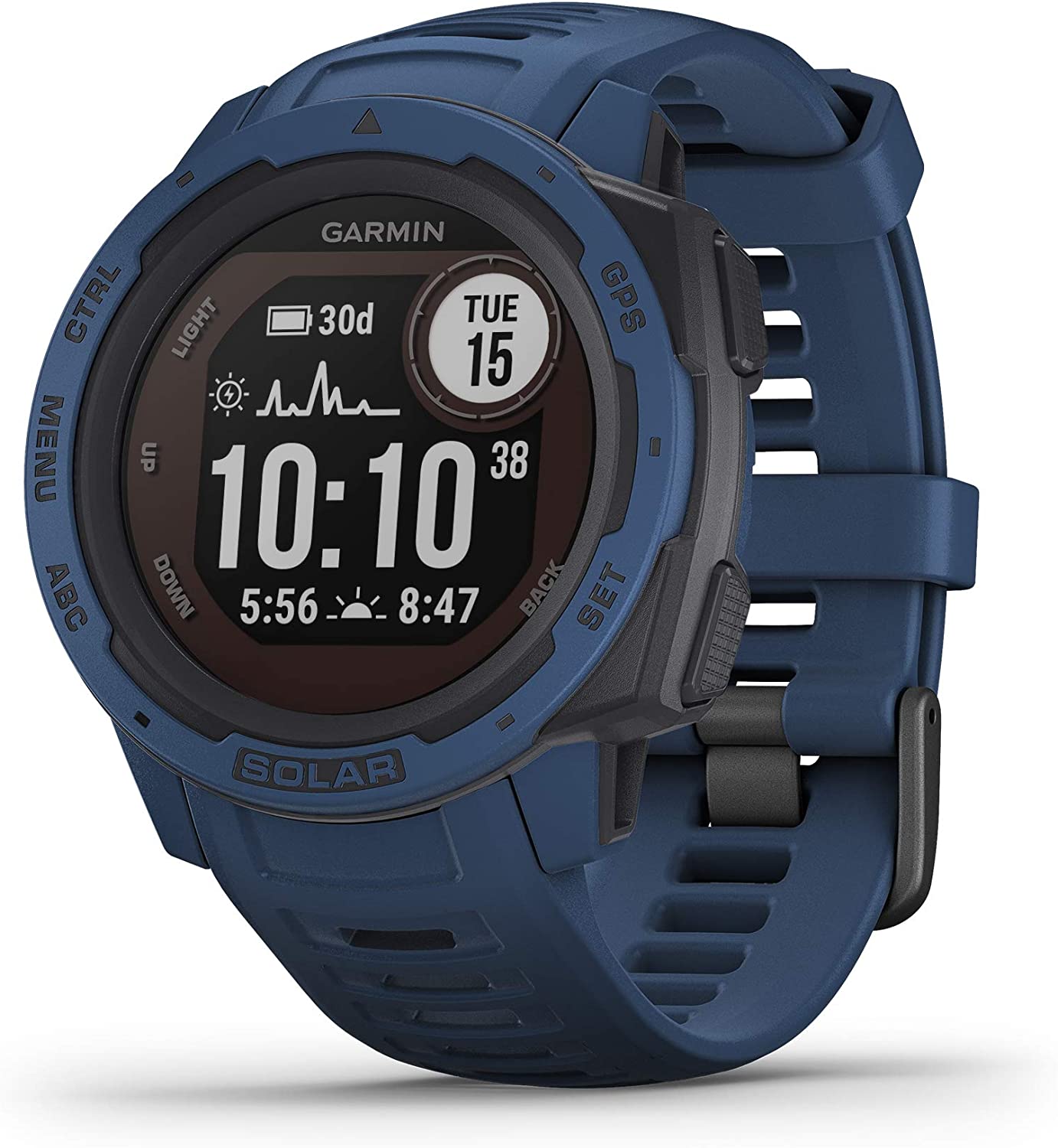
 Garmin - Instinct 2 Rugged Outdoor GPS Smartwatch
$349.99 Sale Price $17.50 Donation Included -
 Garmin - Forerunner 945 Premium GPS Running/Triathlon Bundle
$749.99 Sale Price $37.50 Donation Included -
 Garmin - inReach Mini 2, Lightweight and Compact Satellite Communicator, Hiking Handheld
$399.99 Sale Price $20.00 Donation Included -
 Garmin - Approach R10, Golf Launch Monitor
$599.99 Sale Price $89.99 Donation Included -
 Garmin - RV 785 & Traffic, Advanced GPS Navigator for RVs with Built-in Dash Cam, High-res 7" Touch Display
$499.99 Sale Price $25.00 Donation Included -

-
 Garmin - Descent Mk2S, Diving Smartwatch, Mineral Blue with Sea Foam Silicone Band
$999.99 Sale Price $50.00 Donation Included -
 Garmin - tactix Delta - Solar Edition with Ballistics
$1,399.99 Sale Price $69.99 Donation Included -
 Garmin - Fenix 7S Sapphire Solar Edition, Adventure Bluetooth Touchscreen Smartwatch, Dark Bronze Titanium with Shale Gray Band
$899.99 Sale Price $45.00 Donation Included -
 Garmin - Descent G1 Rugged Diving Smartwatch, Multiple Dive Modes, Activity Tracking, Slate Gray
$549.99 Sale Price $27.50 Donation Included -
 Garmin - GPSMAP 66s, Rugged Multisatellite Handheld with Sensors, 3" Color Display
$399.99 Sale Price $20.00 Donation Included -
 Garmin - Approach S42 Lightweight GPS Golf Smartwatch, Gunmetal Ceramic Bezel and Black Silicone Band
$299.99 Sale Price $15.00 Donation Included -
 Garmin - Varia RTL515, Cycling Rearview Radar with Tail Light, Visual and Audible Alerts for Vehicles Up to 153 Yards Away
$199.99 Sale Price $10.00 Donation Included -
 Garmin - Fenix 7S Solar Edition, Rugged Adventure Bluetooth Touchscreen Smartwatch, Slate Gray with Black Band
$799.99 Sale Price $40.00 Donation Included -
 Garmin - Descent Mk2, Diving Smartwatch, Stainless Steel with Black Band
$1,299.99 Sale Price $65.00 Donation Included -
 Garmin - Rally RK100, Single-Sensing Power Meter, Compatible with Look KEO Cleats
$649.99 Sale Price $32.49 Donation Included -
 Garmin - Dash Cam Live, 24/7 Live View, Always-Connected Dash Cam
$399.99 Sale Price $20.00 Donation Included -
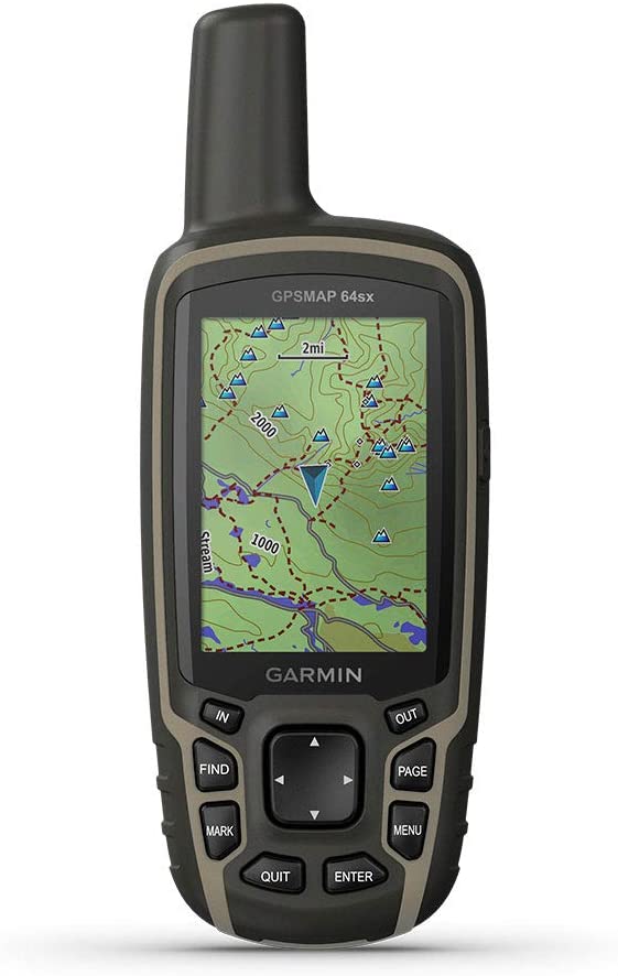 Garmin - GPSMAP 64sx, Handheld GPS with Altimeter and Compass, Preloaded With TopoActive Maps, Black/Tan
$399.99 Sale Price $20.00 Donation Included -
 Garmin - inReach Mini 2, Lightweight and Compact Satellite Communicator, Hiking Handheld, Black
$399.99 Sale Price $20.00 Donation Included -
 Garmin - Xero Bow Sight, Auto-Ranging Digital Bow Sight, LED Pins for Unobstructed Views
$799.99 Sale Price $40.00 Donation Included -
 Garmin - Forerunner 55 GPS Multisport Smartwatch
$199.99 Sale Price $10.00 Donation Included -
 Garmin - Rally RS100, Single-Sensing Power Meter, Compatible with Shimano SPD-SL Cleats
$649.99 Sale Price $32.49 Donation Included -
 Garmin - Fenix 7X Sapphire Solar Edition, Adventure Bluetooth Touchscreen Smartwatch, Black DLC Titanium with Black Band
$999.99 Sale Price $50.00 Donation Included -
 Garmin - Forerunner 965 Premium GPS Running/Multisport Smartwatch
$599.99 Sale Price $30.00 Donation Included -
 Garmin - Fenix 7 Standard Edition, Adventure Bluetooth Touchscreen Smartwatch, Silver with Graphite Band
$699.99 Sale Price $35.00 Donation Included -
 Garmin RV 890, GPS Navigator for RVs with Edge-to-Edge 8” Display
$499.99 Sale Price $24.99 Donation Included -
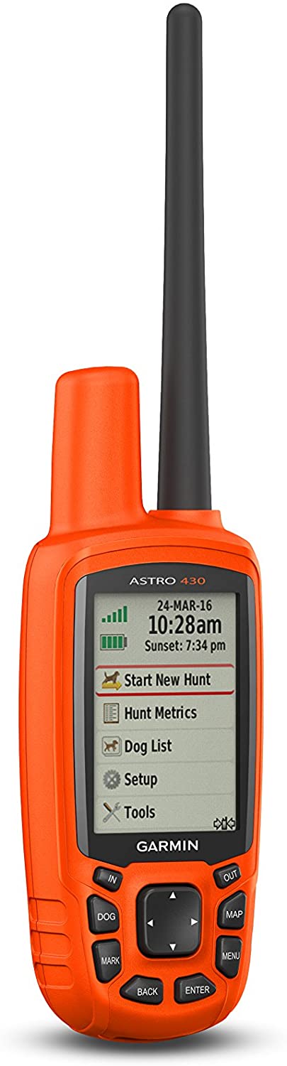 Garmin - Astro 430 GPS Dog Tracking System
$449.99 Sale Price $22.50 Donation Included -
 Garmin - T5 Mini GPS Collar, US
$249.99 Sale Price $12.49 Donation Included -
 Garmin - Rally XC200, Dual-Sensing Power Meter, Compatible with Shimano SPD Cleats
$1,199.99 Sale Price $59.99 Donation Included -
 Garmin - Fenix 7X Solar Edition, Rugged Adventure Bluetooth Touchscreen Smartwatch, Slate Gray with Black Band
$899.99 Sale Price $45.00 Donation Included -
 Garmin - Vivosmart 4 Activity Tracker, Black/Midnight, L
$129.99 Sale Price $6.49 Donation Included -
 Garmin - Forerunner 245 GPS Multisport Smartwatch, Berry
$299.99 Sale Price $15.00 Donation Included -
 Garmin - Forerunner 45s GPS Running Watch, Black
$199.99 Sale Price $9.99 Donation Included -
 Garmin - Instinct Solar, Solar-Powered Rugged Outdoor Smartwatch, Orchid
$399.99 Sale Price $20.00 Donation Included -
 Garmin - Delta Upland XC Dog Training Device with BarkLimiter - Orange
$299.99 Sale Price $14.99 Donation Included -
 Garmin - Instinct Rugged Outdoor GPS Watch, Tundra
$299.99 Sale Price $14.99 Donation Included -
 Garmin - Forerunner 55 GPS Multisport Smartwatch, Black
$199.99 Sale Price $10.00 Donation Included -
 Garmin - inReach Mini Lightweight and Compact Satellite Communicator, Orange
$349.99 Sale Price $17.49 Donation Included -
 Garmin - Vivoactive 4S Smaller-Sized GPS Smartwatch, Black with Slate Hardware
$349.99 Sale Price $17.49 Donation Included -
-
 Garmin - Descent G1 Solar Rugged Diving Smartwatch, Multiple Dive Modes, Activity Tracking, Hurricane Blue
$649.99 Sale Price $32.50 Donation Included -
 Garmin - Forerunner 945 LTE GPS Multisport Smartwatch, White
$649.99 Sale Price $32.50 Donation Included -
 Garmin - TT 15X Dog Device, Tracking and Training Dog Device with Collar, 18 Levels of Stimulation, Rugged and Water-Resistant, Red
$349.99 Sale Price $17.50 Donation Included -
 Garmin - Descent Mk2i, Diving Smartwatch, Titanium Carbon Gray DLC with Black Band
$1,499.99 Sale Price $75.00 Donation Included -
 Garmin - Xero A1i PRO Bow Sight, Right-Handed Auto-ranging Digital Sight with Microadjustments for Elevation, Windage and More
$1,299.99 Sale Price $65.00 Donation Included -
 Garmin - Garmin Alpha 100/TT15,GPS Dog Tracking System
$799.99 Sale Price $39.99 Donation Included -
 Garmin - Instinct Rugged Outdoor GPS Watch, Lakeside Blue
$299.99 Sale Price $14.99 Donation Included -
 Garmin - Sport PRO Bundle
$249.99 Sale Price $14.50 Donation Included -
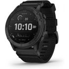 Garmin - Tactix Delta Solar, Specialized Tactical Watch, Black
$1,099.99 Sale Price $54.99 Donation Included -
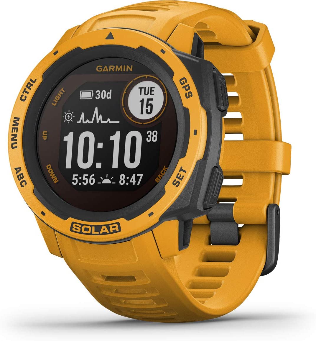 Garmin - Instinct Solar GPS Smartwatch, Sunburst
$399.99 Sale Price $20.00 Donation Included -
 Garmin - RV 1090, 10" RV Navigator with Edge-to-Edge Display
$699.99 Sale Price $34.99 Donation Included -
 Garmin - Dash Cam 47, GPS Compact and Discreet Dash Camera
$169.99 Sale Price $8.49 Donation Included -
 Garmin - Fenix 7, Adventure Bluetooth Touchscreen Smartwatch
$699.99 Sale Price $35.00 Donation Included -
 Garmin - RV 780 GPS Navigator with Traffic
$399.99 Sale Price $20.00 Donation Included -
 Garmin - Vivosmart 4 Activity Tracker, Gray/Rose Gold, S/M
$129.99 Sale Price $6.49 Donation Included -
 Garmin - Fenix 7X Sapphire Solar Edition, Adventure Bluetooth Touchscreen Smartwatch, Mineral Blue Titanium with Whitestone Band
$999.99 Sale Price $50.00 Donation Included -
 Garmin - Rally RK200, Dual-Sensing Power Meter, Compatible with Look KEO Cleats
$1,099.99 Sale Price $54.99 Donation Included -
 Garmin - Venu 2 Plus GPS Fitness Smartwatch
$449.99 Sale Price $22.50 Donation Included -
 Garmin - Tread Audio Box with LED Controller, Rugged Design, Premium Quality Audio with Wireless Remote
$599.99 Sale Price $30.00 Donation Included -
 Garmin - Vivosmart 4 Activity Tracker, Black/Midnight, S/M
$129.99 Sale Price $6.49 Donation Included -
 Garmin - Instinct Solar, Solar-Powered Rugged Outdoor Smartwatch, Flame Red
$399.99 Sale Price $20.00 Donation Included -
 Garmin - Zumo XT All-Terrain Motorcycle GPS Navigation Device
$499.99 Sale Price $25.00 Donation Included -
 Garmin - Instinct Solar Surf, Solar-Powered Rugged Outdoor Smartwatch, Pipeline
$449.99 Sale Price $22.50 Donation Included -
 Garmin - Forerunner 745 GPS Smart Running Watch, Whitestone
$499.99 Sale Price $25.00 Donation Included -
 Garmin - Approach S40 Stylish Lightweight GPS Golf Smartwatch, Gray/Stainless Steel
$299.99 Sale Price $15.00 Donation Included -
 Garmin - Descent Mk2S, Diving Smartwatch, Carbon Gray DLC with Black Silicone Band
$999.99 Sale Price $50.00 Donation Included -
 Garmin - Forerunner 245 GPS Multisport Smartwatch, Aqua
$349.99 Sale Price $17.50 Donation Included -
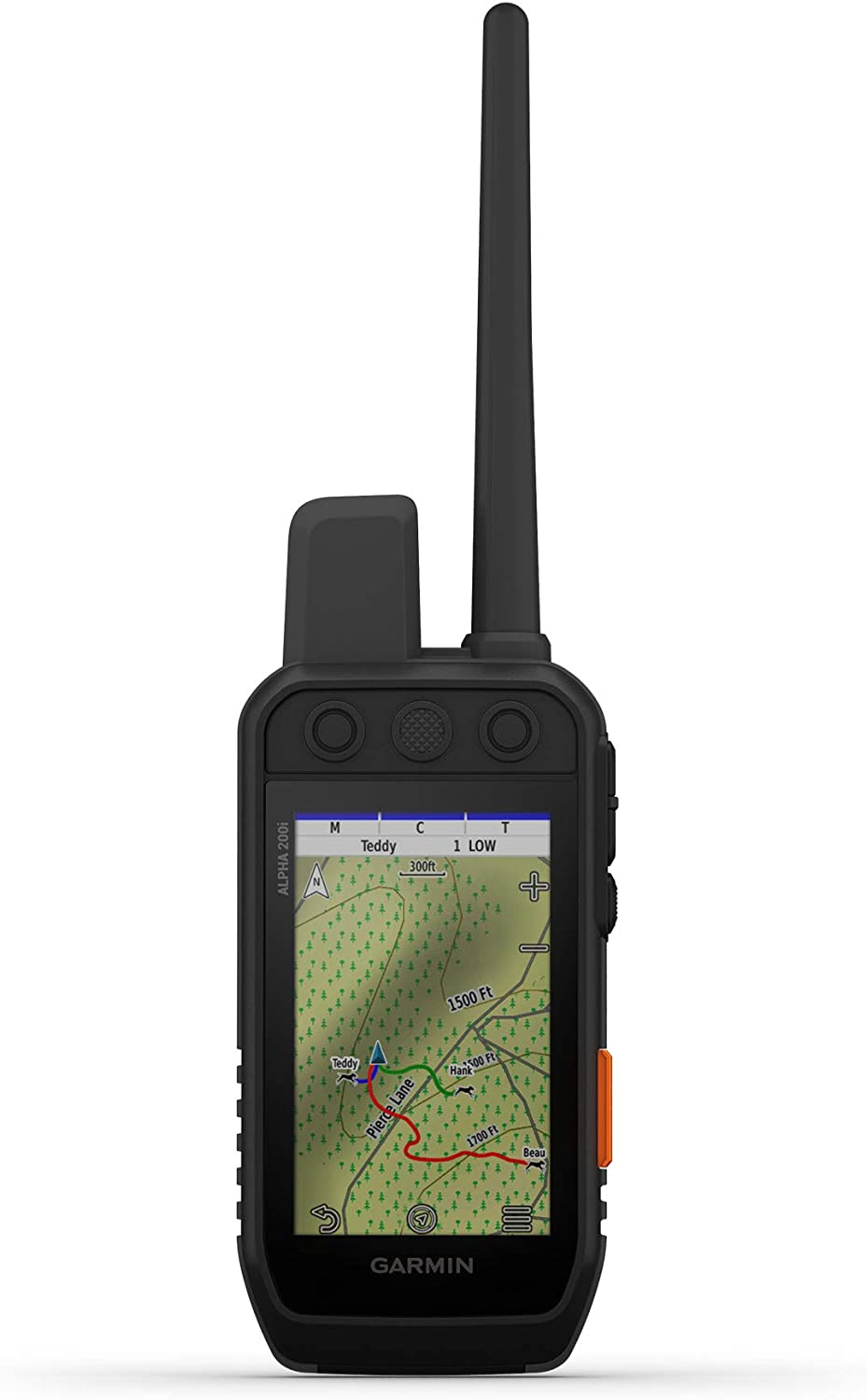 Garmin - Alpha 200i Dog Tracking and Training Handheld
$749.99 Sale Price $37.50 Donation Included -
 Garmin - Garmin Swim 2, Slate
$249.99 Sale Price $12.49 Donation Included