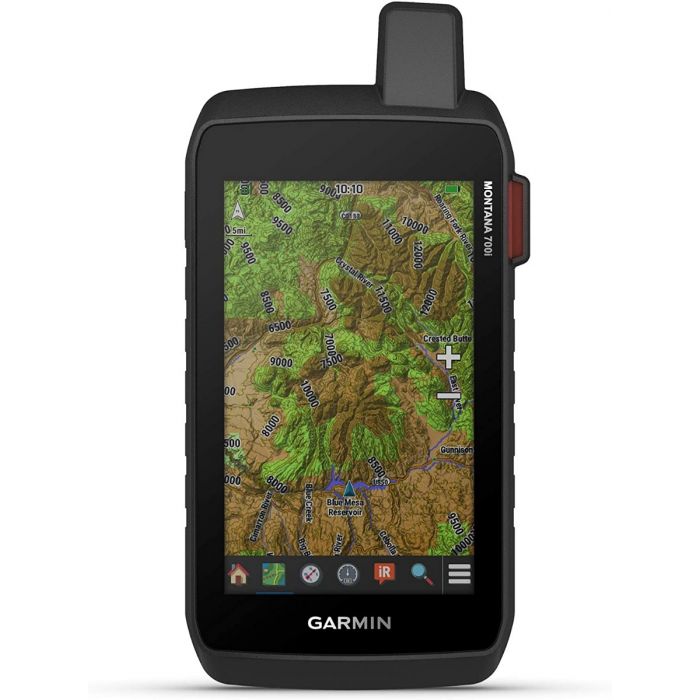
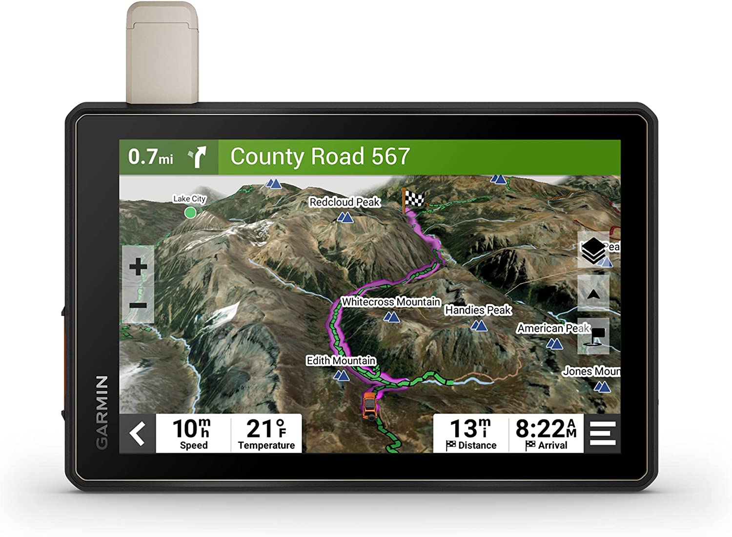
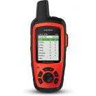
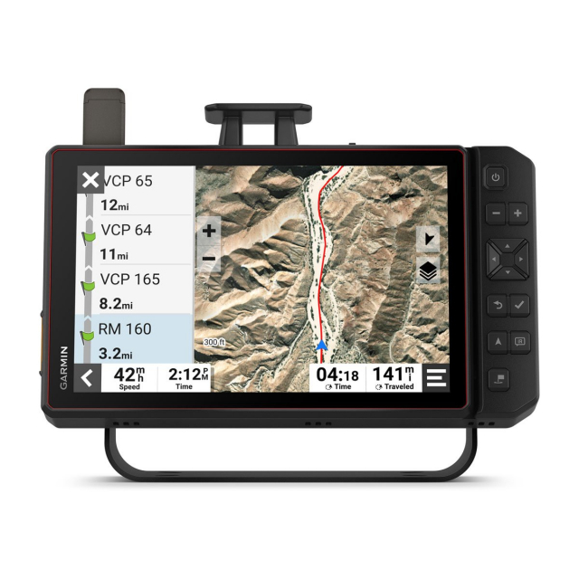
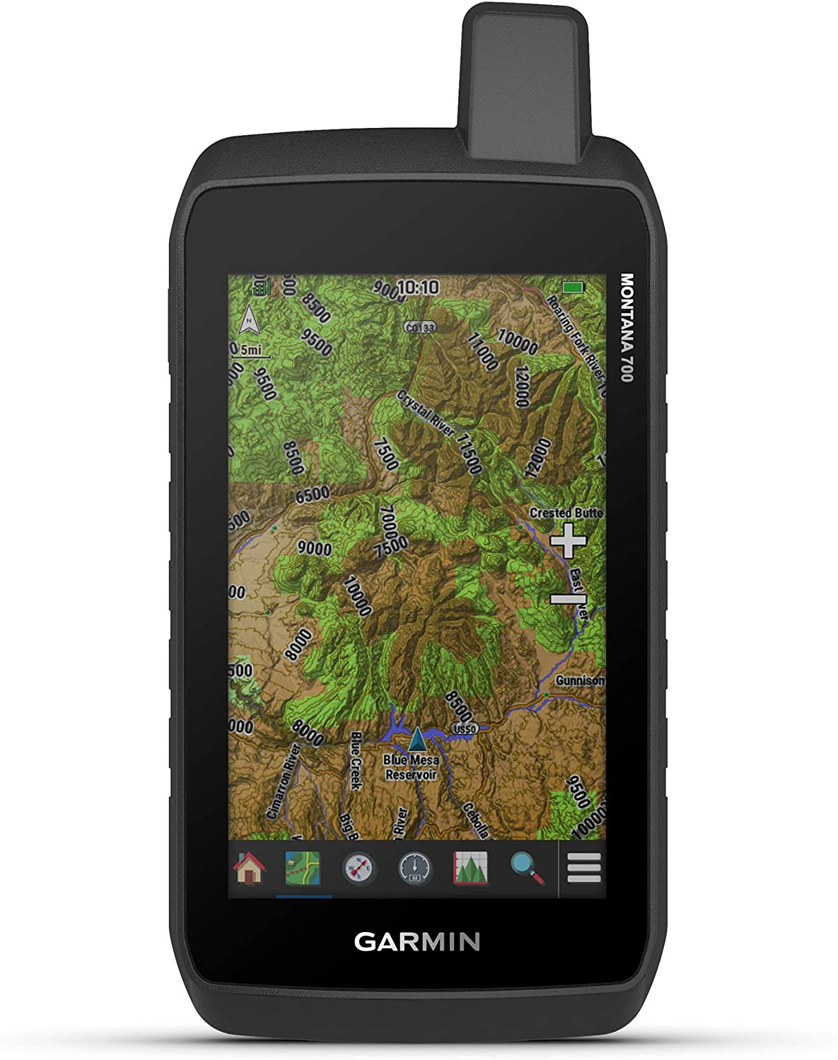
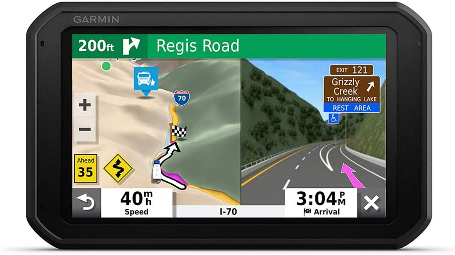
Garmin - Montana 700i Rugged GPS Touchscreen Navigator
| $699.99 | Sale Price | ||
| $34.99 | Donation Included |
| $699.99 | Sale Price | ||
| $34.99 | Donation Included |
Call us! 1-888-434-6392
Call us! 1-888-434-6392
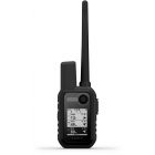
Garmin Montana 700i, Rugged GPS Handheld with Built-in inReach Satellite Technology, Glove-Friendly 5" Color Touchscreen
Stay in touch and on track with Montana 700i. This rugged GPS handheld combines TopoActive and City Navigator mapping for routable on- or off-road navigation with global two-way messaging and interactive SOS via inReach satellite technology (active satellite subscription required; some jurisdictions regulate or prohibit the use of satellite communications devices). The 5” color touchscreen features a full QWERTY keyboard for messaging and a display that’s 50% larger than earlier models. Multi-GNSS support and sensors for the 3-axis compass and barometric altimeter put a world of outdoor navigation capability within your grasp. Plus, wireless pro-connectivity gives you direct-to-device access to BirdsEye Satellite Imagery downloads, location sharing, Connect IQ app support and more. Pair with a compatible smartphone to access Active Weather forecasts. Extend battery life for more than a week with the new ultralow-powered Expedition mode. For hunters and trainers, the IPX7-rated unit syncs with compatible Astro or Alpha series handhelds (sold separately) to help track sporting dogs in the field.
Features
- Features rugged military-grade construction and a 5” touchscreen display that’s 50% larger than the previous model; offers easy viewability and includes versatile mounting solutions
- Trigger an interactive SOS to the GEOS 24/7 monitoring center — two-way messaging via the 100% global Iridium satellite network (active satellite subscription required; some jurisdictions regulate or prohibit the use of satellite communications devices).
- Multi-GNSS (GPS and Galileo) support — plus preloaded TopoActive maps and City Navigator street map navigation; navigation sensors include 3-axis compass and barometric altimeter
- Pro-connected with ANT+ technology, Wi-Fi connectivity and BLUETOOTH wireless networking, giving you direct-to-device access to BirdsEye Satellite Imagery downloads, location sharing, Connect IQ app support and more
- Compatible with the Garmin Explore website and app to help you manage waypoints, routes, activities and collections, use tracks and review trip data from the field
| Donation Cost | 34.99 |
|---|---|
| Description | Garmin Montana 700i, Rugged GPS Handheld with Built-in inReach Satellite Technology, Glove-Friendly 5" Color TouchscreenStay in touch and on track with Montana 700i. This rugged GPS handheld combines TopoActive and City Navigator mapping for routable on- or off-road navigation with global two-way messaging and interactive SOS via inReach satellite technology (active satellite subscription required; some jurisdictions regulate or prohibit the use of satellite communications devices). The 5” color touchscreen features a full QWERTY keyboard for messaging and a display that’s 50% larger than earlier models. Multi-GNSS support and sensors for the 3-axis compass and barometric altimeter put a world of outdoor navigation capability within your grasp. Plus, wireless pro-connectivity gives you direct-to-device access to BirdsEye Satellite Imagery downloads, location sharing, Connect IQ app support and more. Pair with a compatible smartphone to access Active Weather forecasts. Extend battery life for more than a week with the new ultralow-powered Expedition mode. For hunters and trainers, the IPX7-rated unit syncs with compatible Astro or Alpha series handhelds (sold separately) to help track sporting dogs in the field. Features
|
-
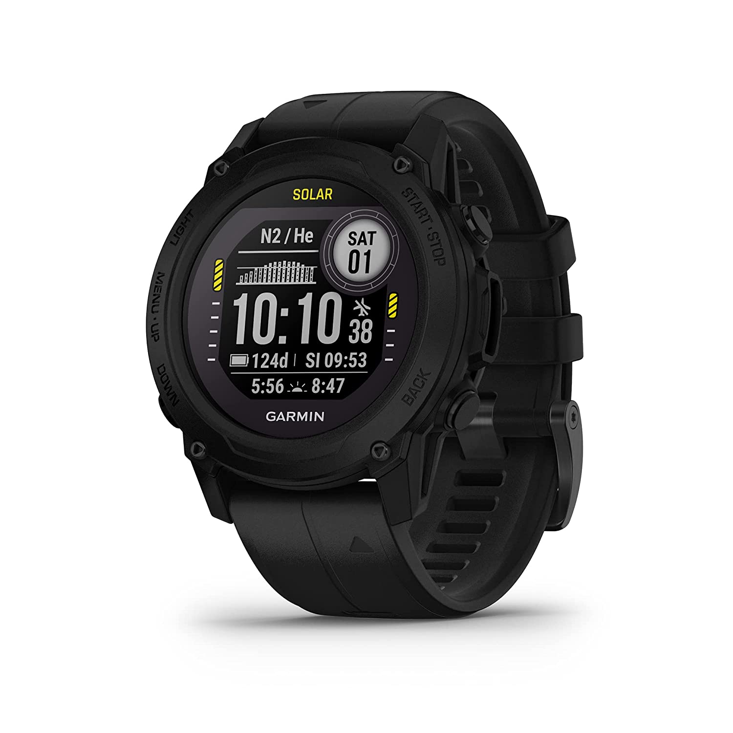
 Garmin - Descent G1 Rugged Diving Smartwatch, Multiple Dive Modes, Activity Tracking, Slate Gray
$549.99 Sale Price $27.50 Donation Included -
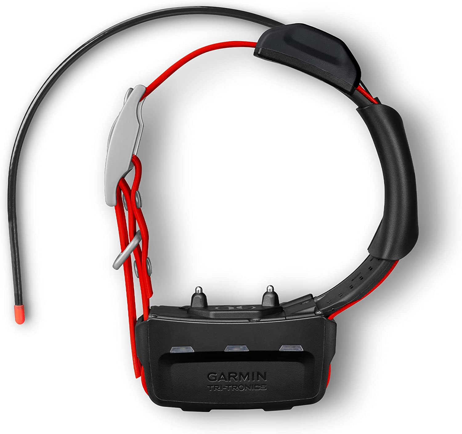
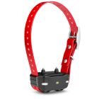 Garmin - PT 10 Dog Device with Built-in Barklimiter, Red
$149.99 Sale Price $7.50 Donation Included -
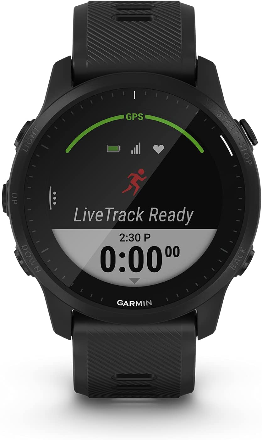
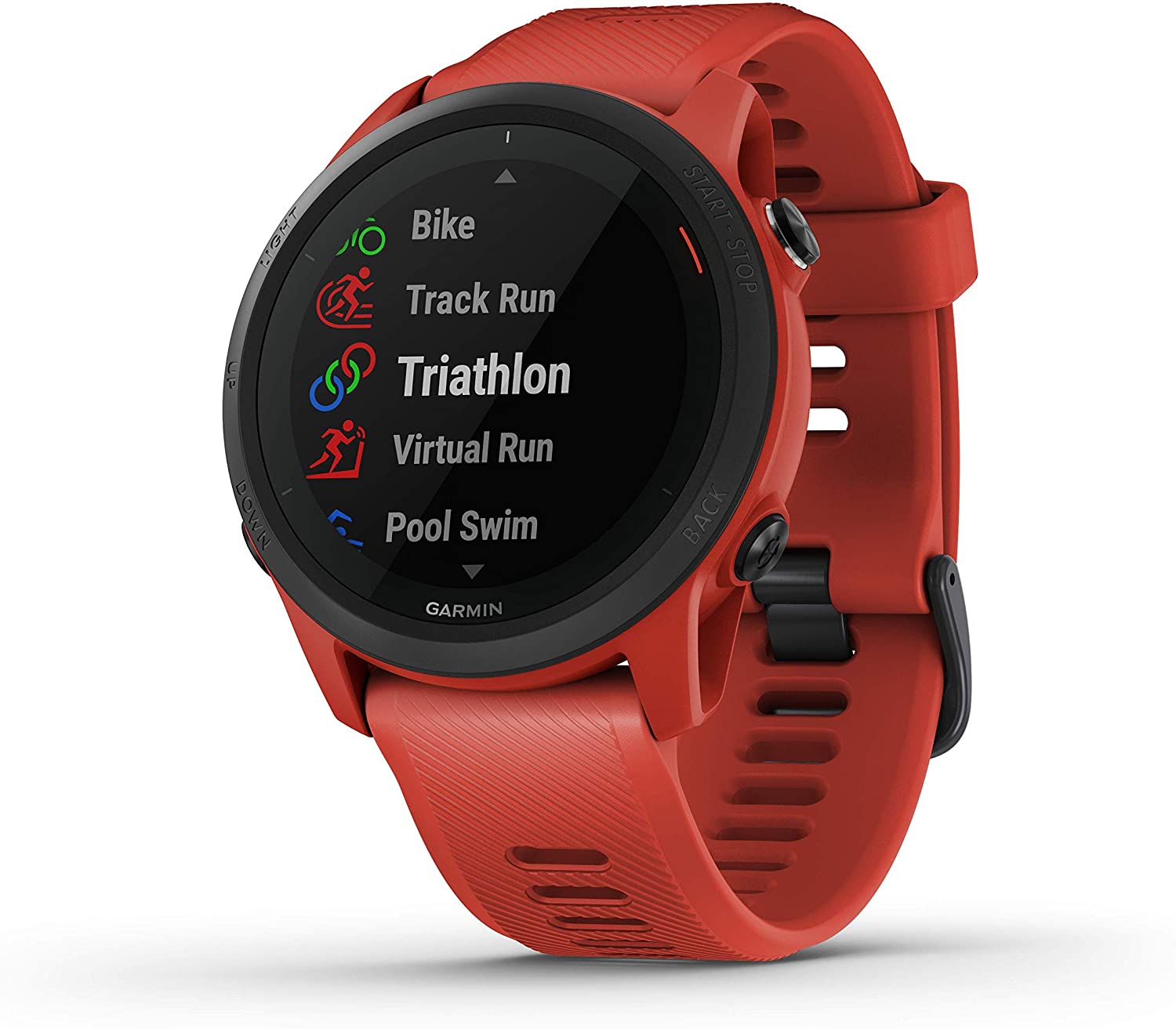
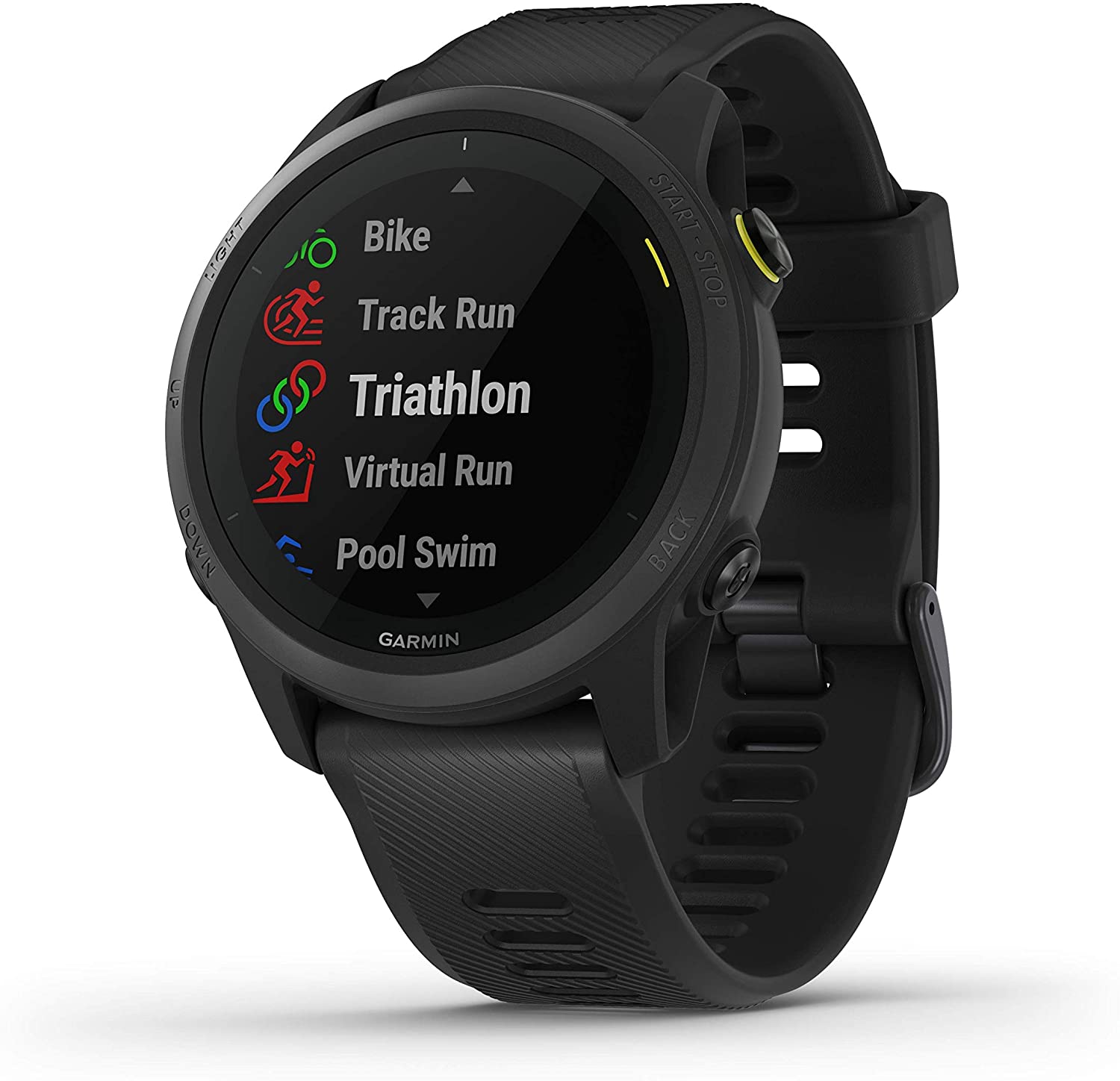
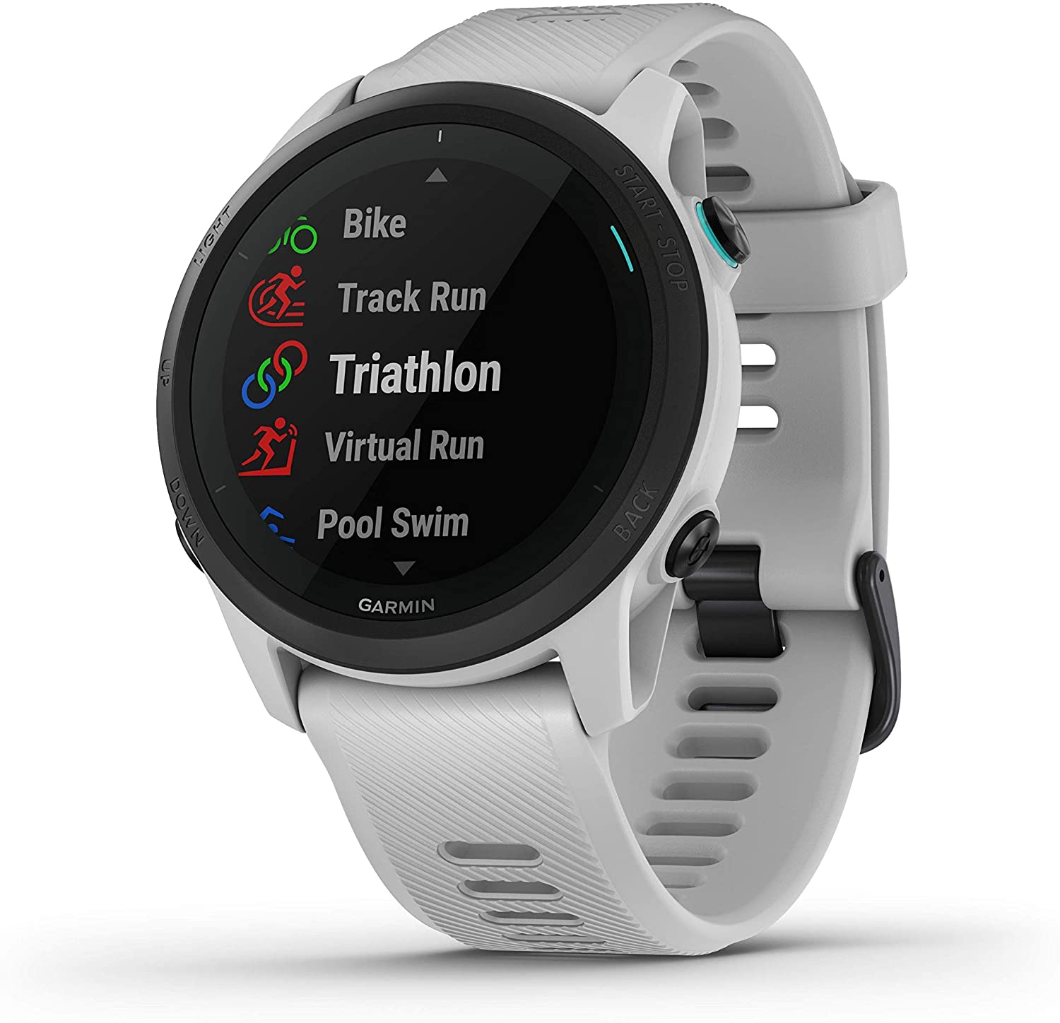
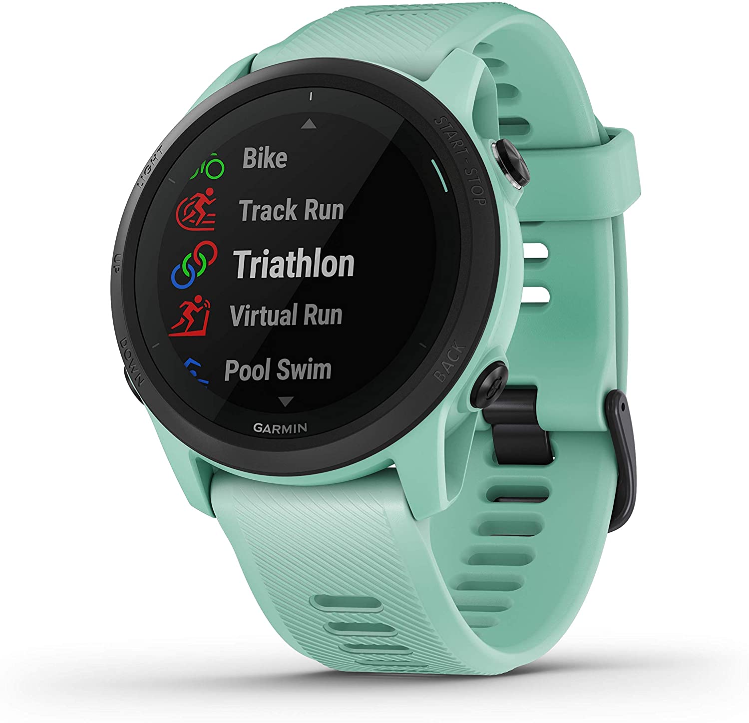
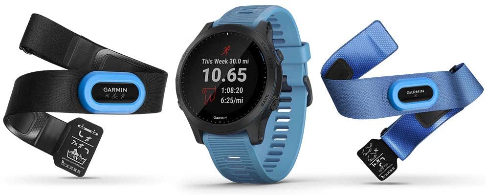 Garmin - Forerunner 945 Premium GPS Running/Triathlon Bundle
$749.99 Sale Price $37.50 Donation Included -
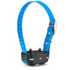 Garmin - PT 10 Dog Device with Built-in Barklimiter, Blue
$149.99 Sale Price $7.50 Donation Included -
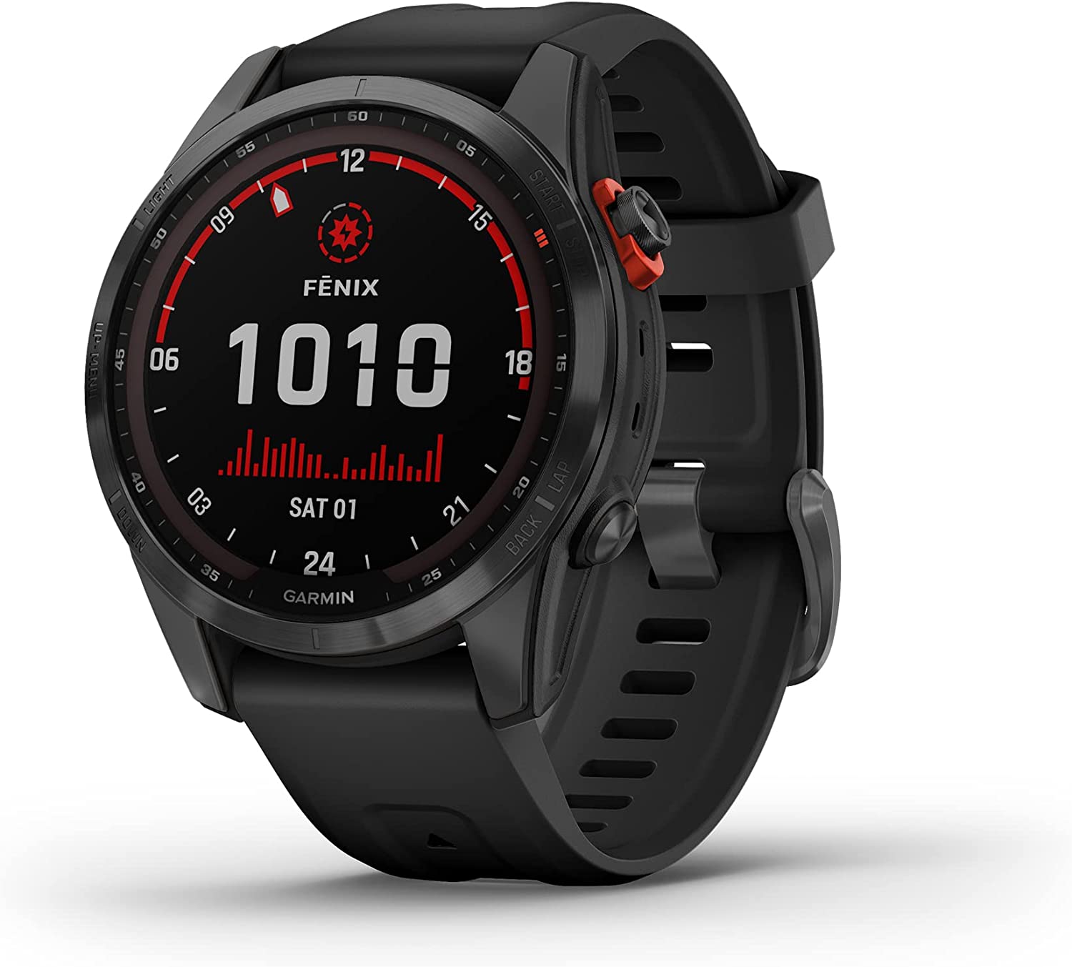
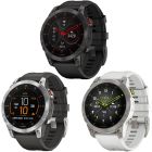
 Garmin - Fenix 7X Sapphire Solar Edition, Adventure Bluetooth Touchscreen Smartwatch, Mineral Blue Titanium with Whitestone Band
$999.99 Sale Price $50.00 Donation Included -
 Garmin - Forerunner 55 GPS Multisport Smartwatch
$199.99 Sale Price $10.00 Donation Included -
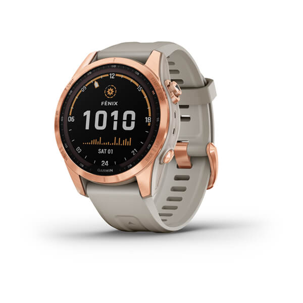 Garmin - Fenix 7S Solar Edition, Rugged Adventure Bluetooth Touchscreen Smartwatch, Rose Gold with Light Sand Band
$799.99 Sale Price $40.00 Donation Included -
 Garmin - Fenix 7S Standard Edition, Rugged Outdoor Bluetooth Touchscreen Smartwatch, Silver with Graphite Band
$699.99 Sale Price $35.00 Donation Included -
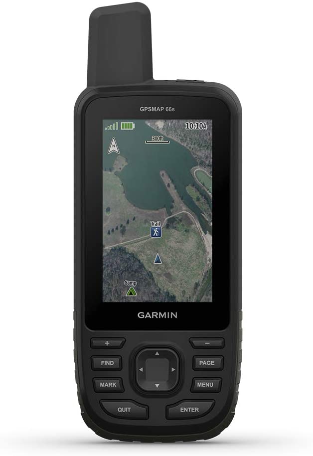 Garmin - GPSMAP 66s, Rugged Multisatellite Handheld with Sensors, 3" Color Display
$399.99 Sale Price $20.00 Donation Included -
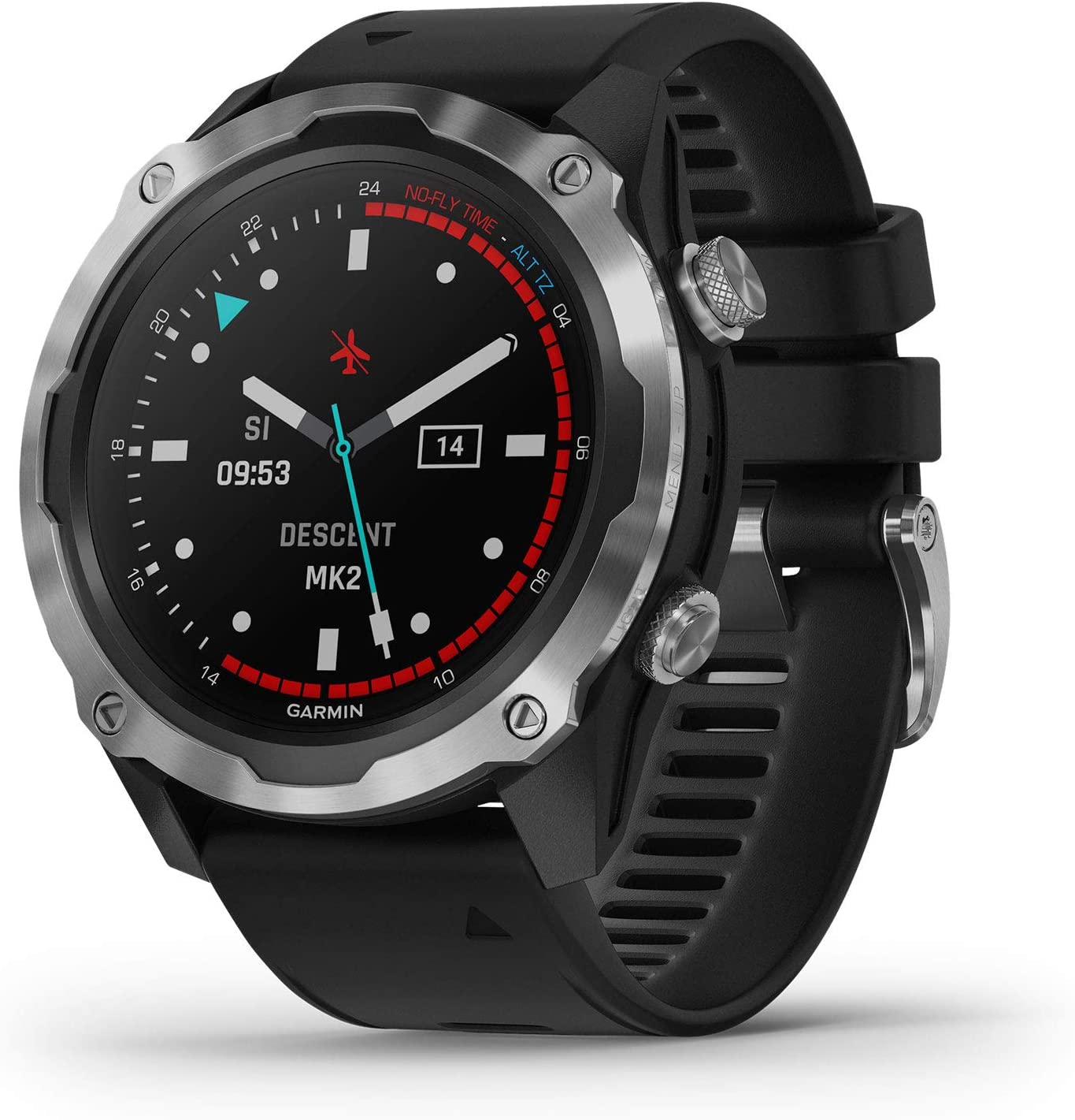 Garmin - Descent Mk2, Diving Smartwatch, Stainless Steel with Black Band
$1,299.99 Sale Price $65.00 Donation Included -
 Garmin - Forerunner 45s GPS Running Watch, Black
$199.99 Sale Price $9.99 Donation Included -
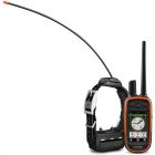
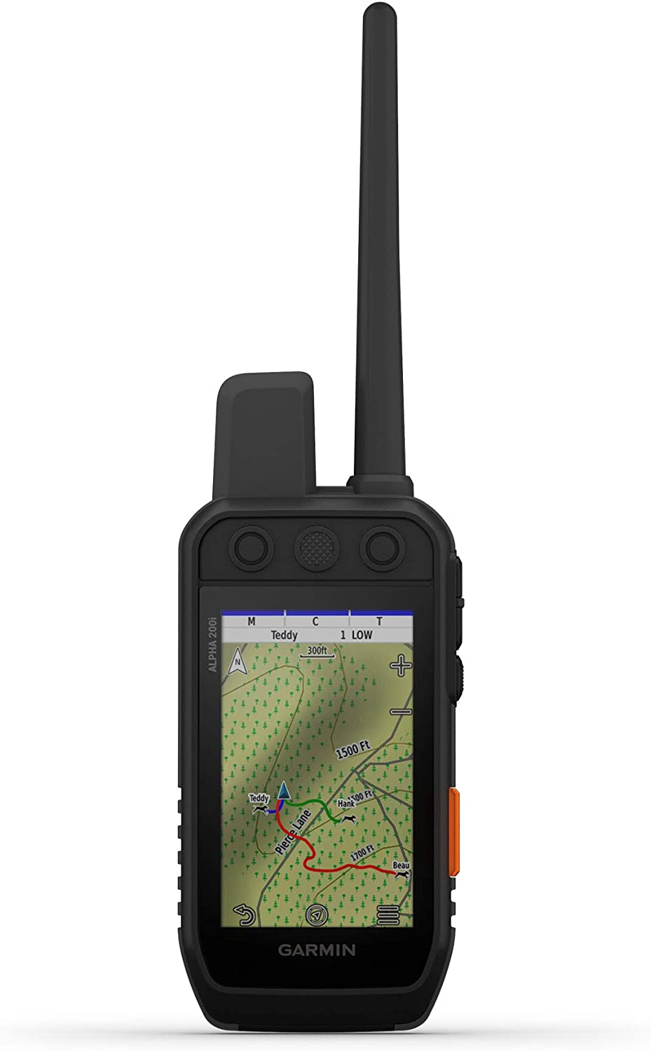 Garmin - Alpha 200i Dog Tracking and Training Handheld
$749.99 Sale Price $37.50 Donation Included -
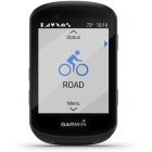
 Garmin - Edge 830 Performance GPS Cycling/Bike Computer
$399.99 Sale Price $19.99 Donation Included -
 Garmin - Vivoactive 4S, Smaller-Sized GPS Smartwatch, White/Rose Gold
$349.99 Sale Price $17.49 Donation Included -
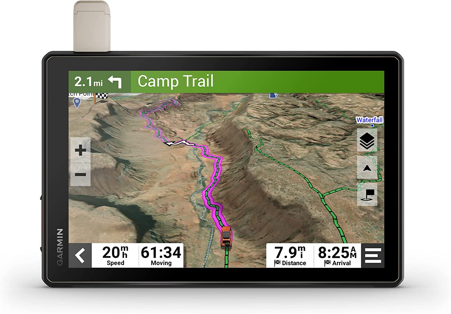
 Garmin - Tread Overland, All-Terrain Navigator, Rugged, Built in Mapping, iOverlander, Ultrabright Display
$1,299.99 Sale Price $65.00 Donation Included -
 Garmin - Fenix 7X Sapphire Solar Edition, Adventure Bluetooth Touchscreen Smartwatch, Black DLC Titanium with Black Band
$999.99 Sale Price $50.00 Donation Included -
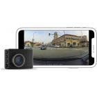
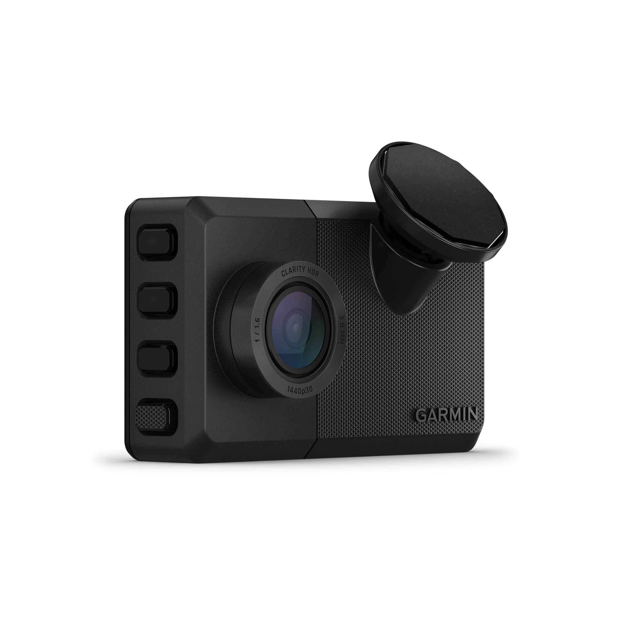
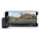
 Garmin - Dash Cam 57, GPS, Compact and Discreet Dash Camera
$229.99 Sale Price $11.49 Donation Included -
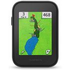
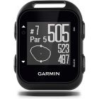
 Garmin - Approach R10, Golf Launch Monitor
$599.99 Sale Price $89.99 Donation Included -
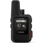
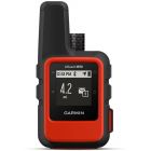 Garmin - inReach Mini Lightweight and Compact Satellite Communicator, Orange
$349.99 Sale Price $17.49 Donation Included -
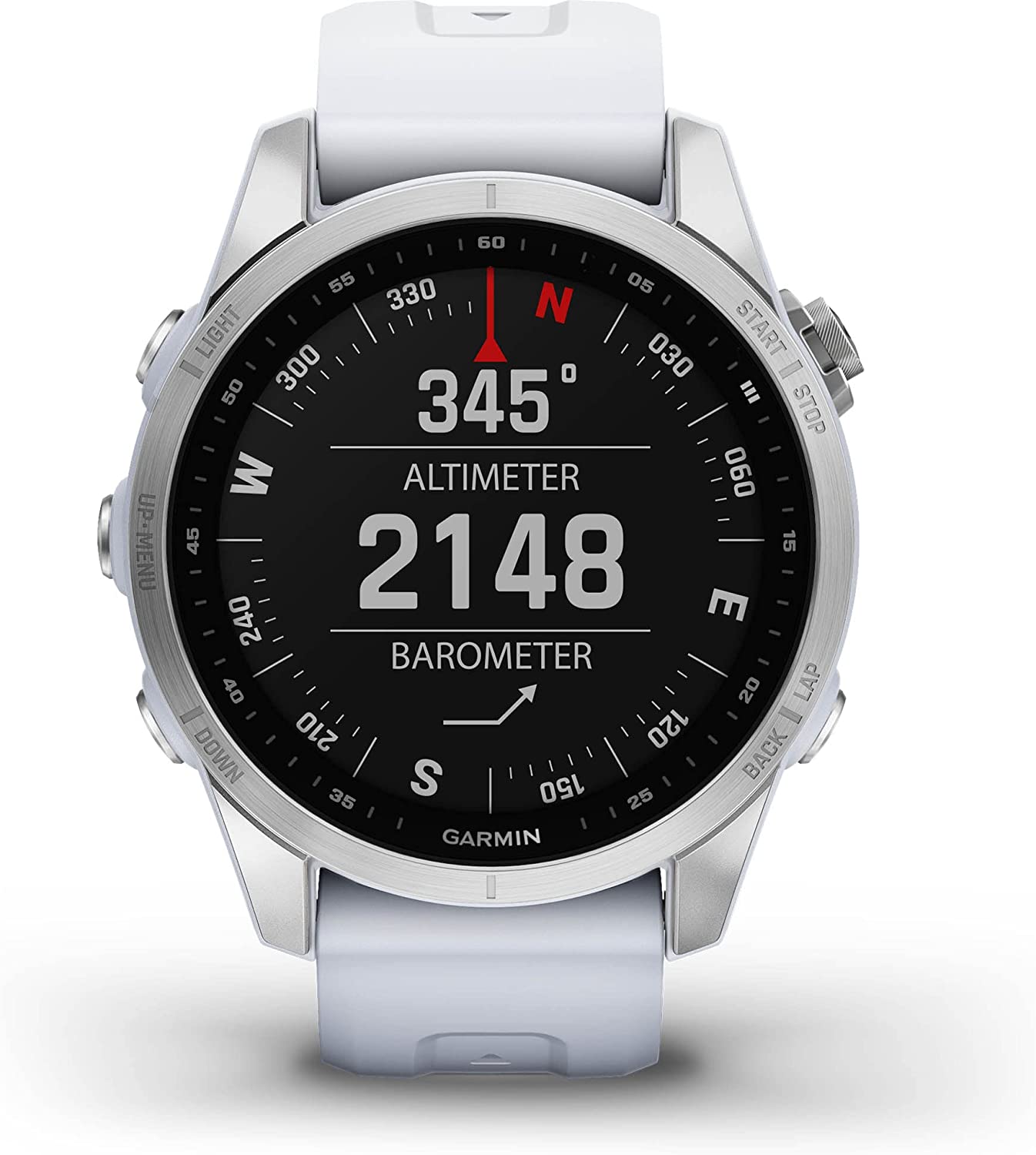
 Garmin - Fenix 7 Sapphire Solar Edition, Adventure Bluetooth Touchscreen Smartwatch, Carbon Gray DLC Titanium with Black Band
$899.99 Sale Price $45.00 Donation Included -
 Garmin - GPSMAP 66st, Rugged Multisatellite Handheld with Sensors and Topo Maps, 3" Color Display
$499.99 Sale Price $25.00 Donation Included -
 Garmin - Descent Mk2i, Diving Smartwatch, Titanium Carbon Gray DLC with Black Band
$1,499.99 Sale Price $75.00 Donation Included -
 Garmin - Fenix 7S Solar Edition, Rugged Adventure Bluetooth Touchscreen Smartwatch, Slate Gray with Black Band
$799.99 Sale Price $40.00 Donation Included -
 Garmin - Approach Z82 Hybrid Golf GPS Laser Range Finder with 2-D Course Overlays
$599.99 Sale Price $29.99 Donation Included -
 Garmin - Forerunner 745 GPS Smart Running Watch
$499.99 Sale Price $25.00 Donation Included -
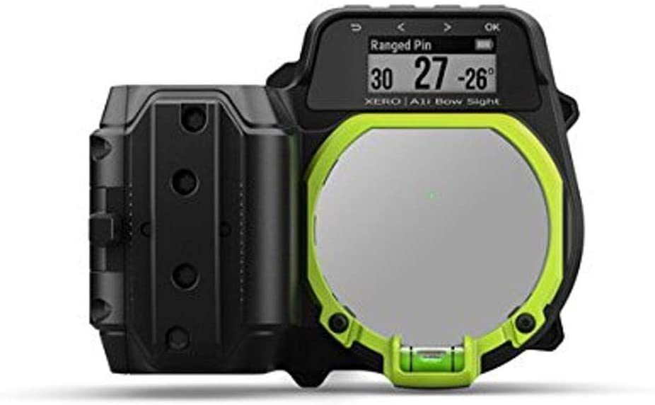
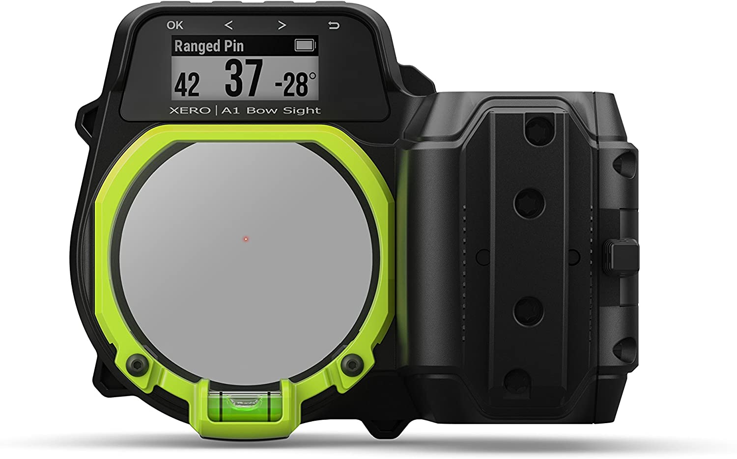 Garmin - Xero A1 Bow Sight, 2" Auto-Ranging Digital Bow Sight, LED Pins for Unobstructed Views, Right-Handed
$799.99 Sale Price $40.00 Donation Included -
 Garmin - Venu 2, Fitness GPS Smartwatch with Black Case and Silicone Band
$399.99 Sale Price $19.99 Donation Included -
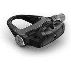
 Garmin - Rally RK100, Single-Sensing Power Meter, Compatible with Look KEO Cleats
$649.99 Sale Price $32.49 Donation Included -
 Garmin - Montana 750i Rugged GPS Touchscreen Navigator
$799.99 Sale Price $40.00 Donation Included -
 Garmin - Fenix 7X Solar Edition, Rugged Adventure Bluetooth Touchscreen Smartwatch, Slate Gray with Black Band
$899.99 Sale Price $45.00 Donation Included -
 Garmin - Dash Cam 47, GPS Compact and Discreet Dash Camera
$169.99 Sale Price $8.49 Donation Included -
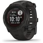
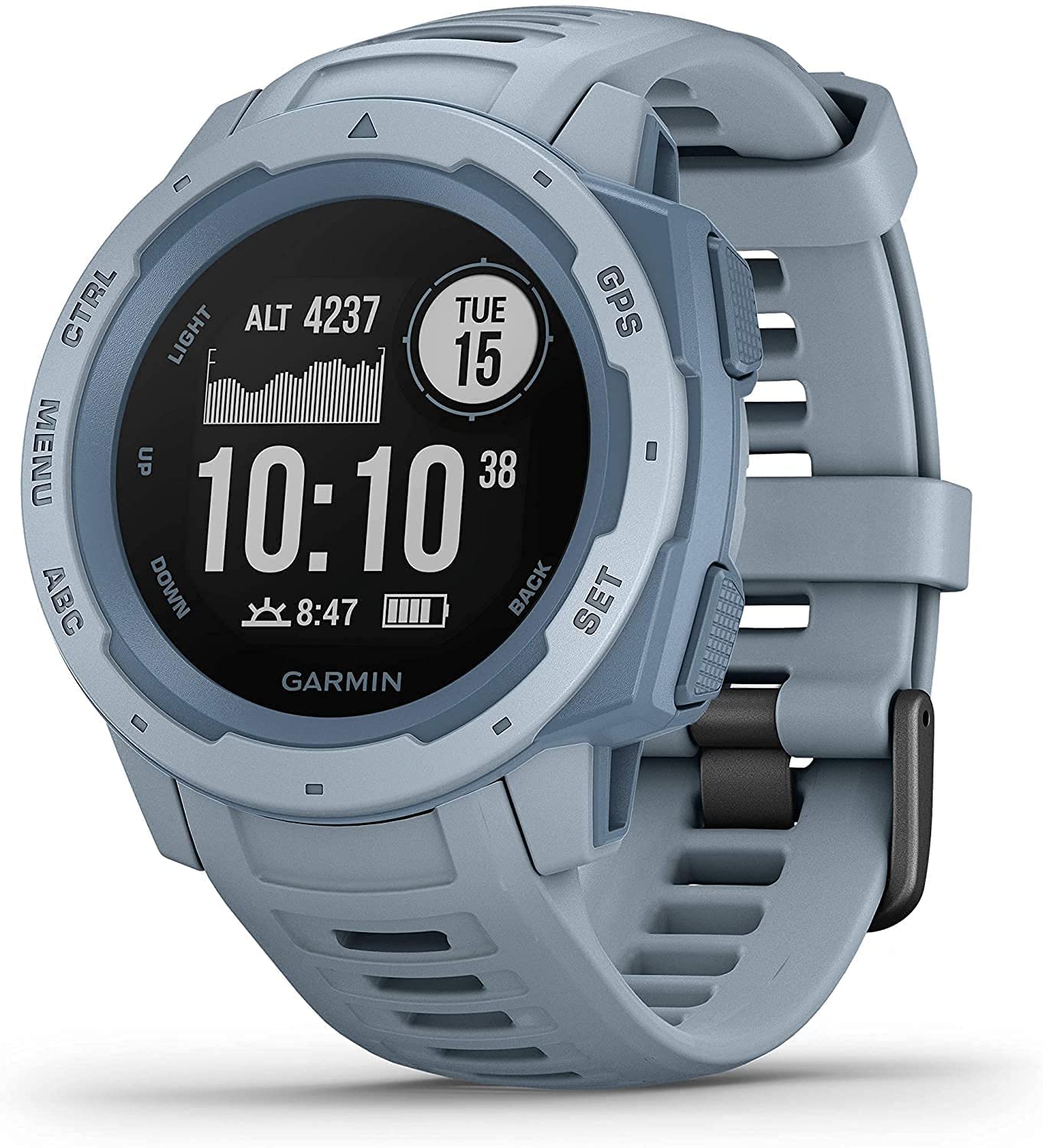
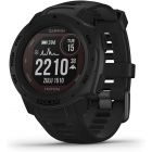
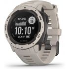
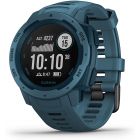 Garmin - Instinct Rugged Outdoor GPS Watch, Lakeside Blue
$299.99 Sale Price $14.99 Donation Included -
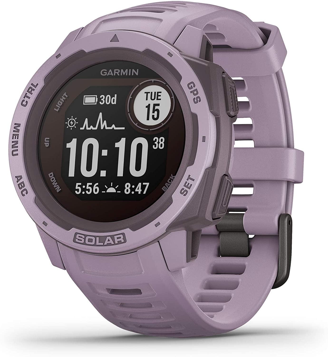
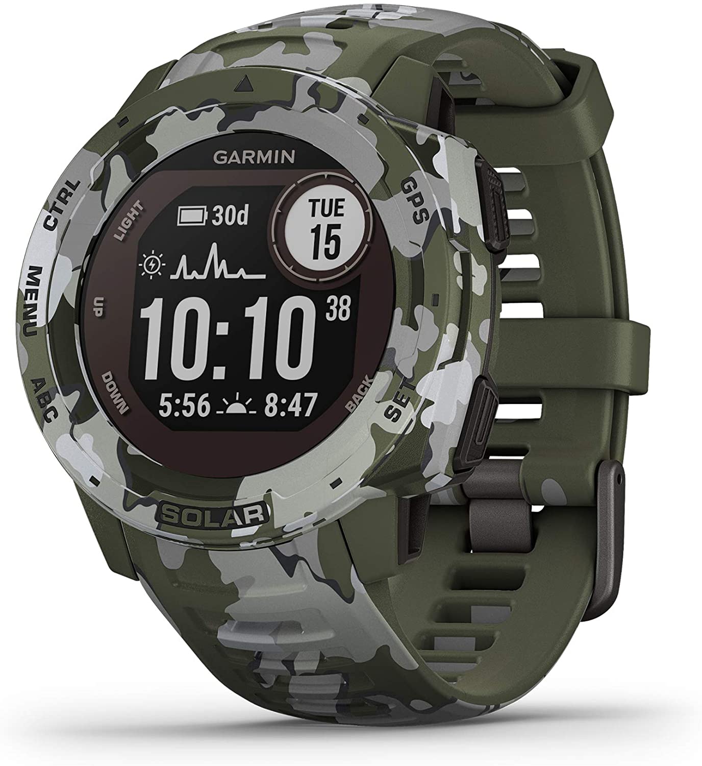
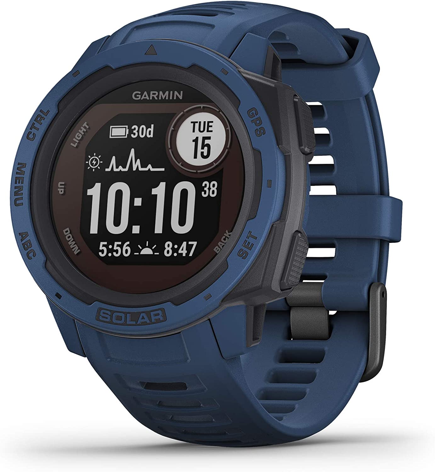
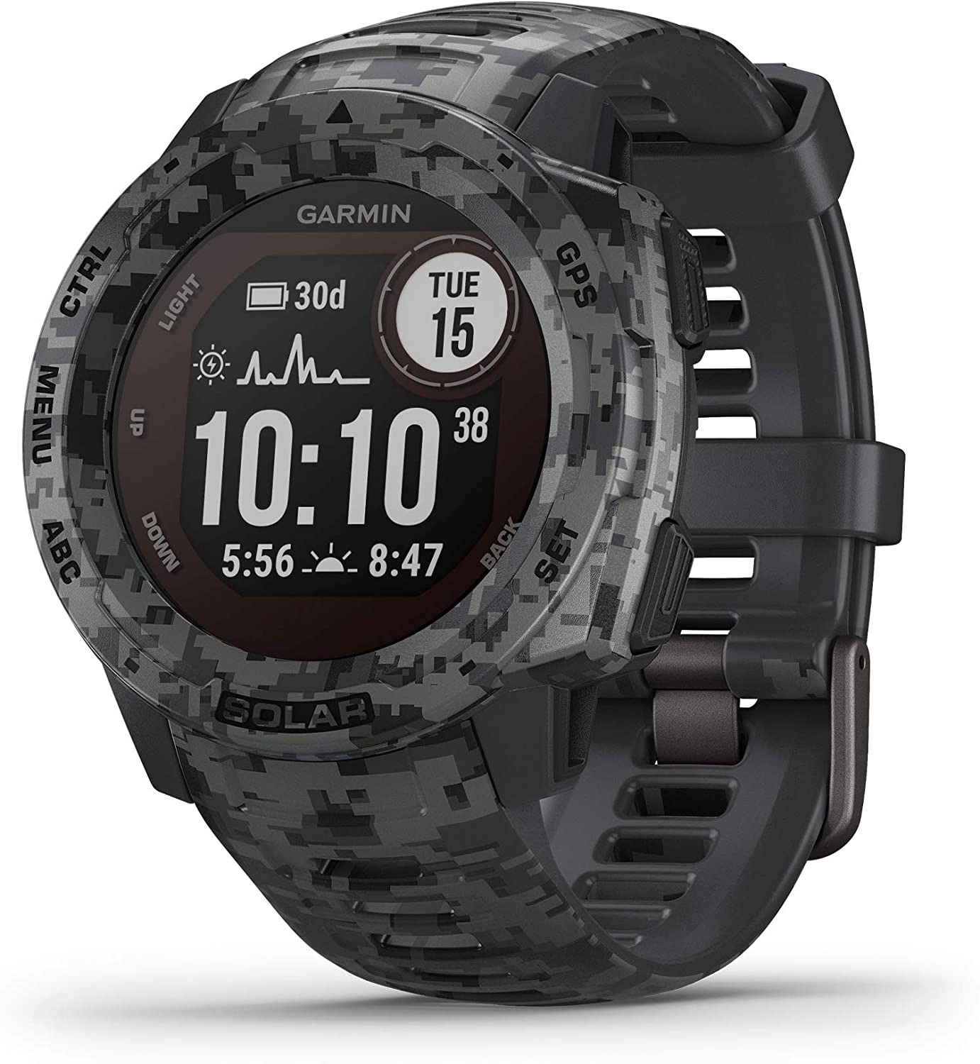 Garmin - Instinct Solar, Solar-Powered Rugged Outdoor Smartwatch, Graphite Camo
$449.99 Sale Price $22.50 Donation Included -
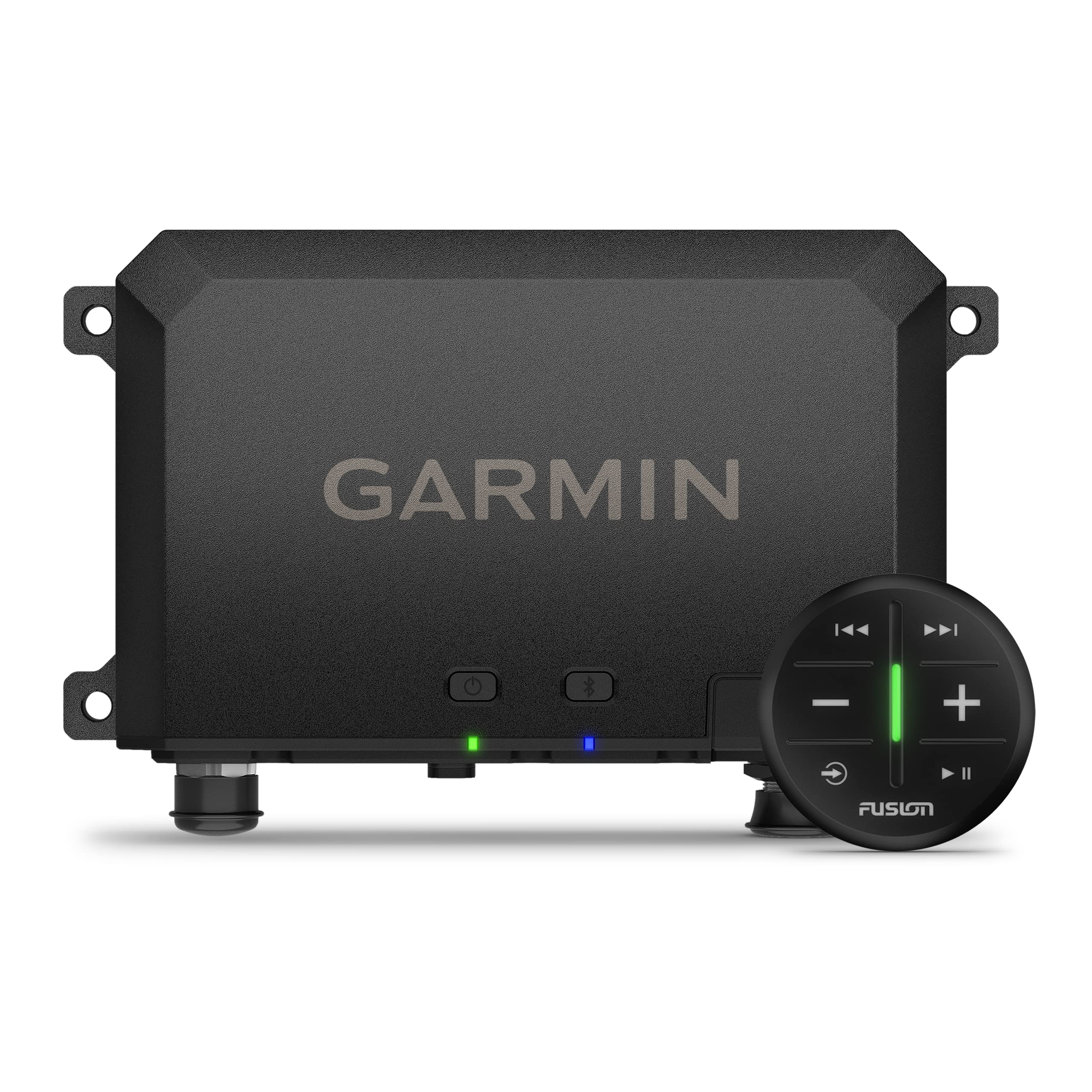 Garmin - Tread Audio Box with LED Controller, Rugged Design, Premium Quality Audio with Wireless Remote
$599.99 Sale Price $30.00 Donation Included -
 Garmin - Edge 530 Performance GPS Cycling/Bike Computer
$299.99 Sale Price $14.99 Donation Included -
 Garmin - Instinct Solar, Rugged Outdoor Smartwatch, Graphite
$399.99 Sale Price $19.99 Donation Included -
 Garmin - Forerunner 945 LTE GPS Multisport Smartwatch, Black
$649.99 Sale Price $32.50 Donation Included -
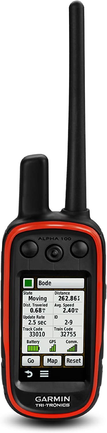 Garmin - Alpha 100 GPS Tracking and Training Handheld
$599.99 Sale Price $30.00 Donation Included -
 Garmin - Fenix 6, Sapphire, Titanum/Ember Orange
$849.99 Sale Price $42.49 Donation Included -
 Garmin - Fenix 6 Pro, Premium Multisport GPS Watch, Black
$649.99 Sale Price $32.49 Donation Included -
 Garmin - Venu 2 Plus GPS Fitness Smartwatch
$449.99 Sale Price $22.50 Donation Included -
 Garmin - Descent G1 Solar Rugged Diving Smartwatch, Multiple Dive Modes, Activity Tracking, Hurricane Blue
$649.99 Sale Price $32.50 Donation Included -
 Garmin - Dash Cam Live, 24/7 Live View, Always-Connected Dash Cam
$399.99 Sale Price $20.00 Donation Included -
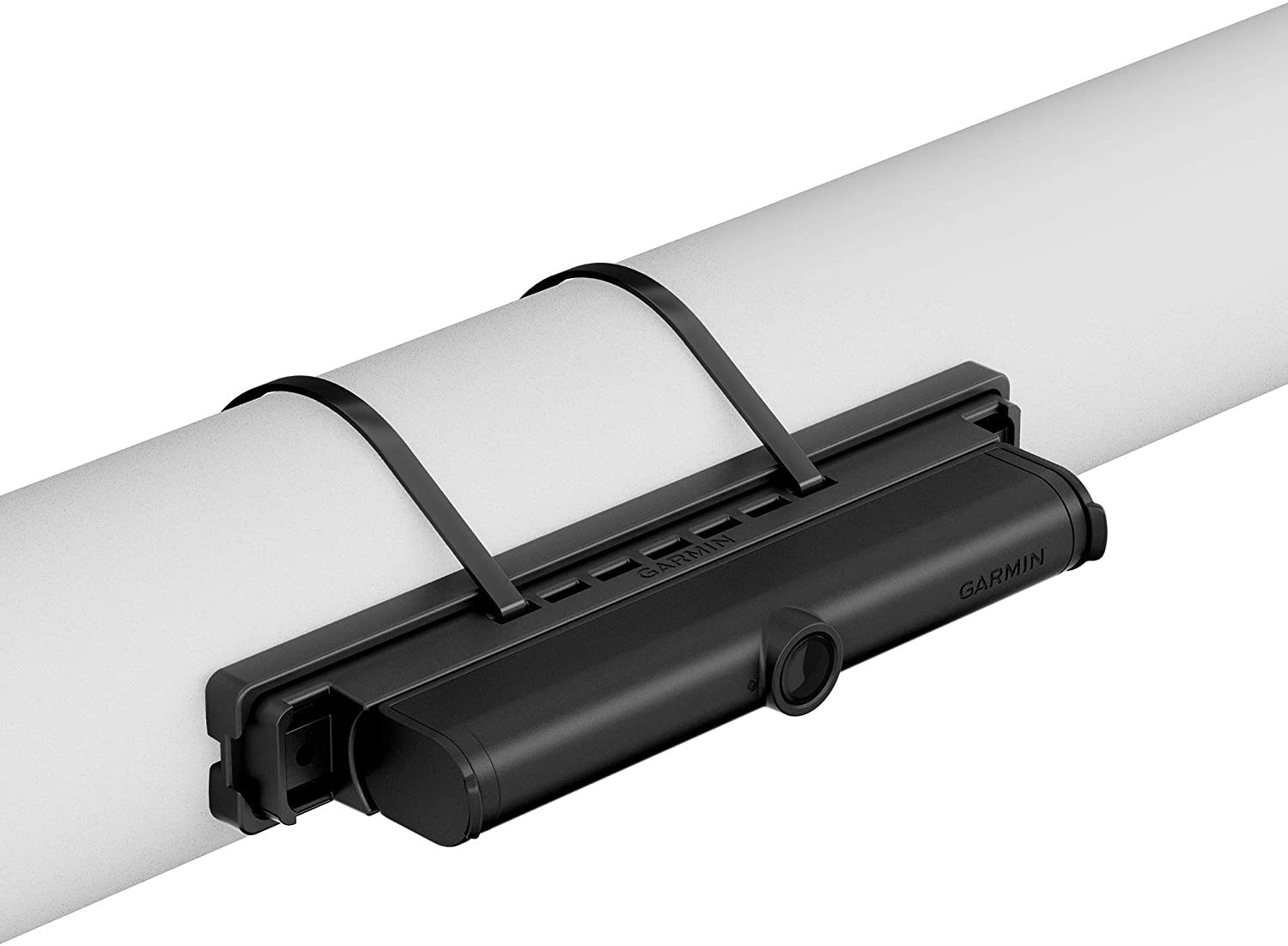 Garmin - BC 40 Wireless Backup Camera with Tube Mount
$149.99 Sale Price $7.50 Donation Included -
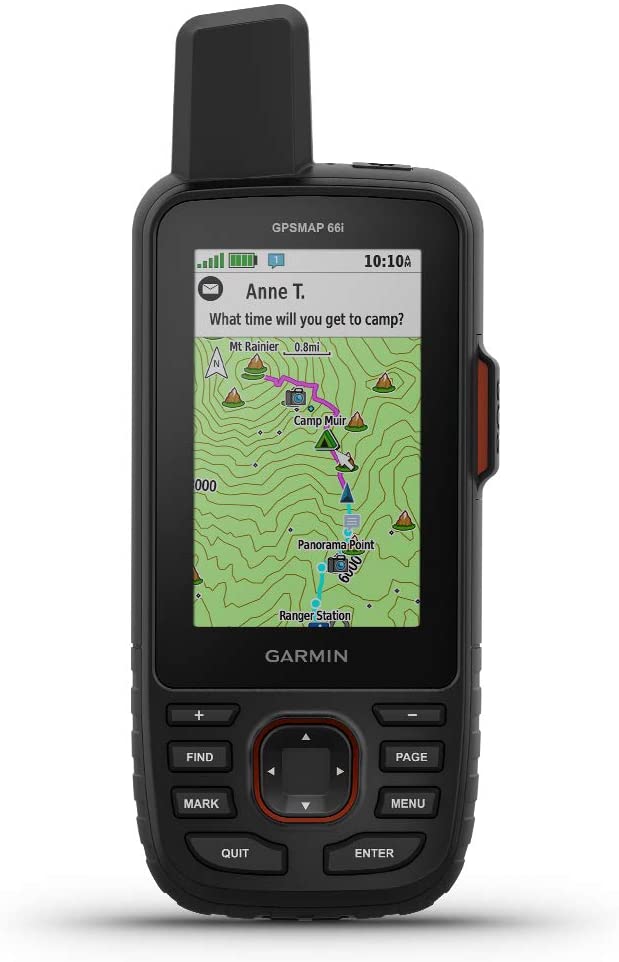 Garmin - GPSMAP 66i, GPS Handheld and Satellite Communicator, Featuring TopoActive mapping and inReach Technology
$599.99 Sale Price $30.00 Donation Included -
 Garmin - Rally XC200, Dual-Sensing Power Meter, Compatible with Shimano SPD Cleats
$1,199.99 Sale Price $59.99 Donation Included -
 Garmin - Garmin Alpha 100/TT15,GPS Dog Tracking System
$799.99 Sale Price $39.99 Donation Included -
 Garmin - Forerunner 745 GPS Smart Running Watch, Red
$499.99 Sale Price $25.00 Donation Included -
 Garmin - Instinct Solar, Solar-Powered Rugged Outdoor Smartwatch, Orchid
$399.99 Sale Price $20.00 Donation Included -
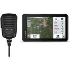
 Garmin - RV 1090, 10" RV Navigator with Edge-to-Edge Display
$699.99 Sale Price $34.99 Donation Included -
 Garmin - Dash Cam Mini 2, NA
$129.99 Sale Price $6.49 Donation Included -
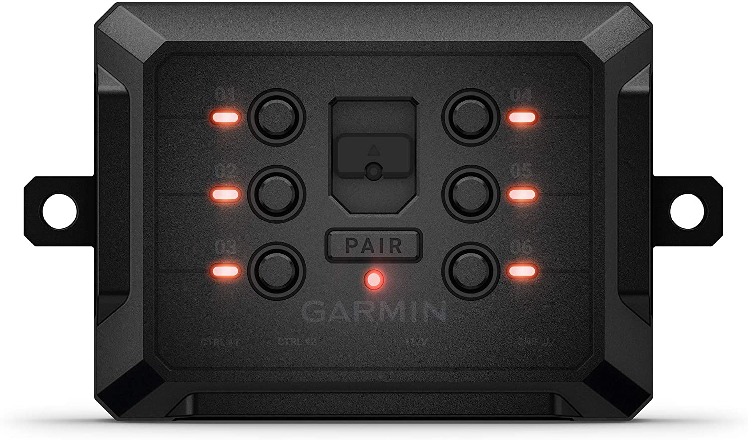 Garmin - PowerSwitch 6 Gang Compact Digital Switch Box Switch Panel
$499.99 Sale Price $25.00 Donation Included -
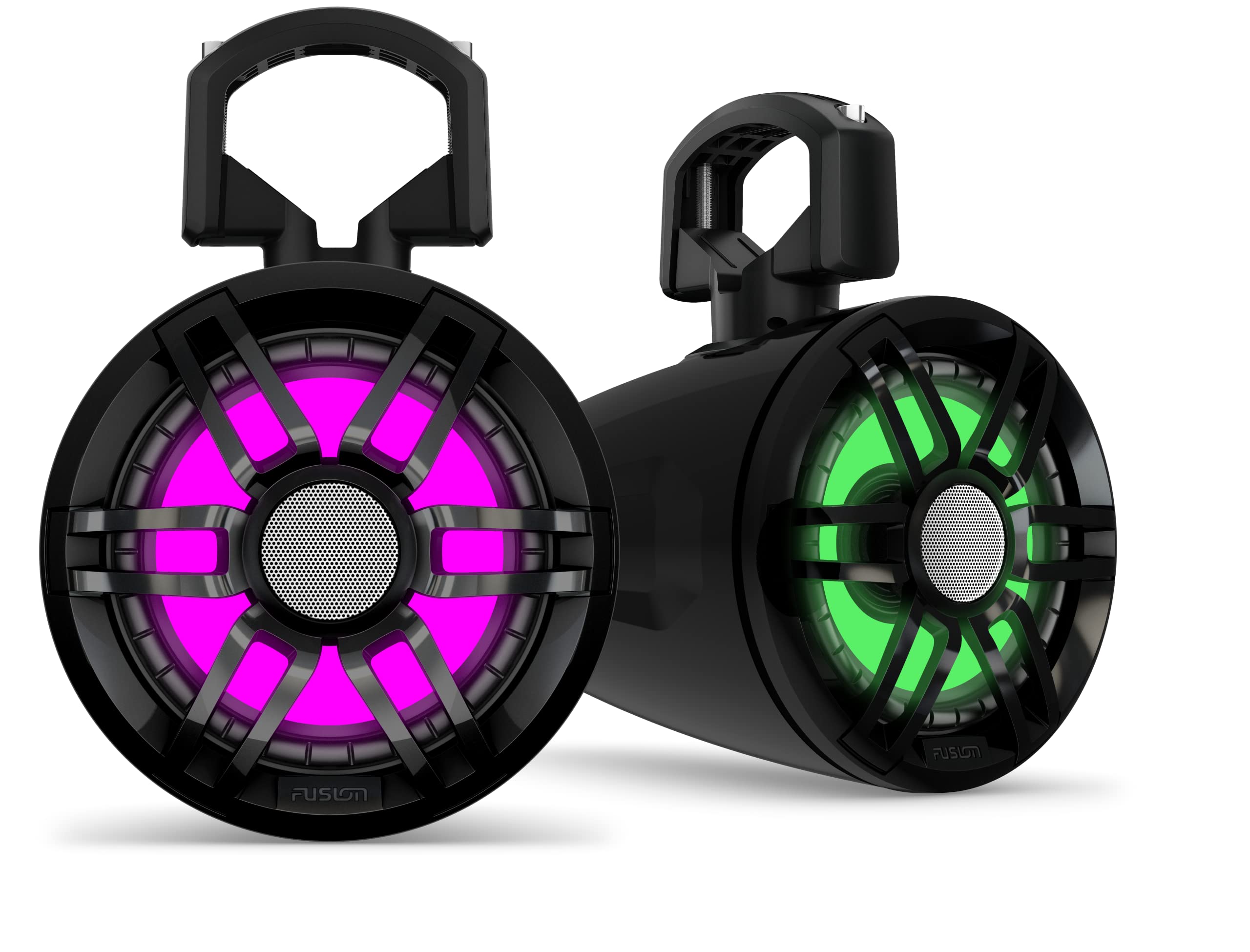 Garmin - Tread 6.5" XS-LED Tower, Rugged Design, Wireless Controller with Premium Quality Audio
$599.99 Sale Price $30.00 Donation Included -
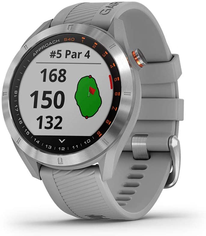
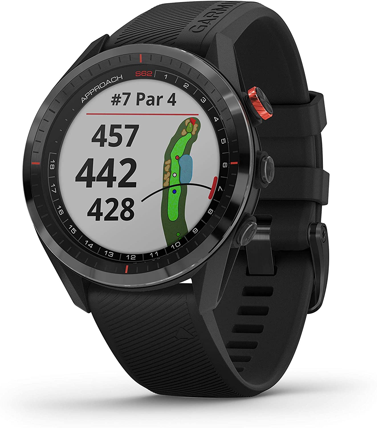
 Garmin - Approach® S62 Premium Golf GPS Watch
$499.99 Sale Price $24.99 Donation Included -
 Garmin - Lily Small GPS Smartwatch with Touchscreen
$249.99 Sale Price $12.50 Donation Included -
 Garmin - Fenix 7 Solar Edition, Rugged Adventure Bluetooth Touchscreen Smartwatch, Slate Gray with Black Band
$799.99 Sale Price $40.00 Donation Included -
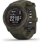
 Garmin - Instinct Tactical Rugged GPS Watch, Coyote Tan
$299.99 Sale Price $14.99 Donation Included -
 Garmin - Tactix Delta Premium Specialized Tactical GPS Smartwatch
$899.99 Sale Price $45.00 Donation Included -
 Garmin - TT 15X Dog Device, Tracking and Training Dog Device with Collar, 18 Levels of Stimulation, Rugged and Water-Resistant, Red
$349.99 Sale Price $17.50 Donation Included -
 Garmin - Descent G1 Solar Rugged Diving Smartwatch, Multiple Dive Modes, Activity Tracking, Black
$649.99 Sale Price $32.50 Donation Included -
 Garmin - Sport PRO Bundle
$249.99 Sale Price $14.50 Donation Included -
 Garmin - Xero A1i Bow Sight, 2" Auto-Ranging Digital Bow Sight with Laser Locate, Dual-color LED Pins for Unobstructed Views, Right-Handed
$999.99 Sale Price $50.00 Donation Included -
 Garmin - inReach Mini, Lightweight and Compact Satellite Communicator, Black
$349.99 Sale Price $17.49 Donation Included -
 Garmin - Tread Powersport Off-Road Navigator
$799.99 Sale Price $39.99 Donation Included -
 Garmin - Forerunner 745 GPS Smart Running Watch, Black
$499.99 Sale Price $25.00 Donation Included -
 Garmin - Forerunner 45s GPS Running Watch, White
$199.99 Sale Price $9.99 Donation Included -
 Garmin - tactix Delta - Solar Edition with Ballistics
$1,399.99 Sale Price $69.99 Donation Included -
 Garmin - Fenix 7S Sapphire Solar Edition, Adventure Bluetooth Touchscreen Smartwatch, Dark Bronze Titanium with Shale Gray Band
$899.99 Sale Price $45.00 Donation Included -
 Garmin - Forerunner 945 LTE GPS Multisport Smartwatch, White
$649.99 Sale Price $32.50 Donation Included -
 Garmin - Fenix 7, Adventure Bluetooth Touchscreen Smartwatch
$699.99 Sale Price $35.00 Donation Included -
 Garmin - Instinct Crossover Rugged Outdoor GPS Smartwatch
$499.99 Sale Price $25.00 Donation Included -
 Garmin - Instinct Rugged Outdoor GPS Watch, Sea Foam
$299.99 Sale Price $15.00 Donation Included -
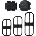 Garmin - Access, Bike Speed Sensor 2 and Cadence Sensor 2 Bundle
$69.99 Sale Price $3.49 Donation Included -
 Garmin - Instinct Solar Edition Tactical Rugged Outdoor Smartwatch, Moss Green
$449.99 Sale Price $22.49 Donation Included -
 Garmin - inReach Explorer+, Handheld Satellite Communicator
$449.99 Sale Price $22.49 Donation Included -
 Garmin - Vivofit 4 Activity Tracker, Black, S/M
$79.99 Sale Price $3.99 Donation Included -
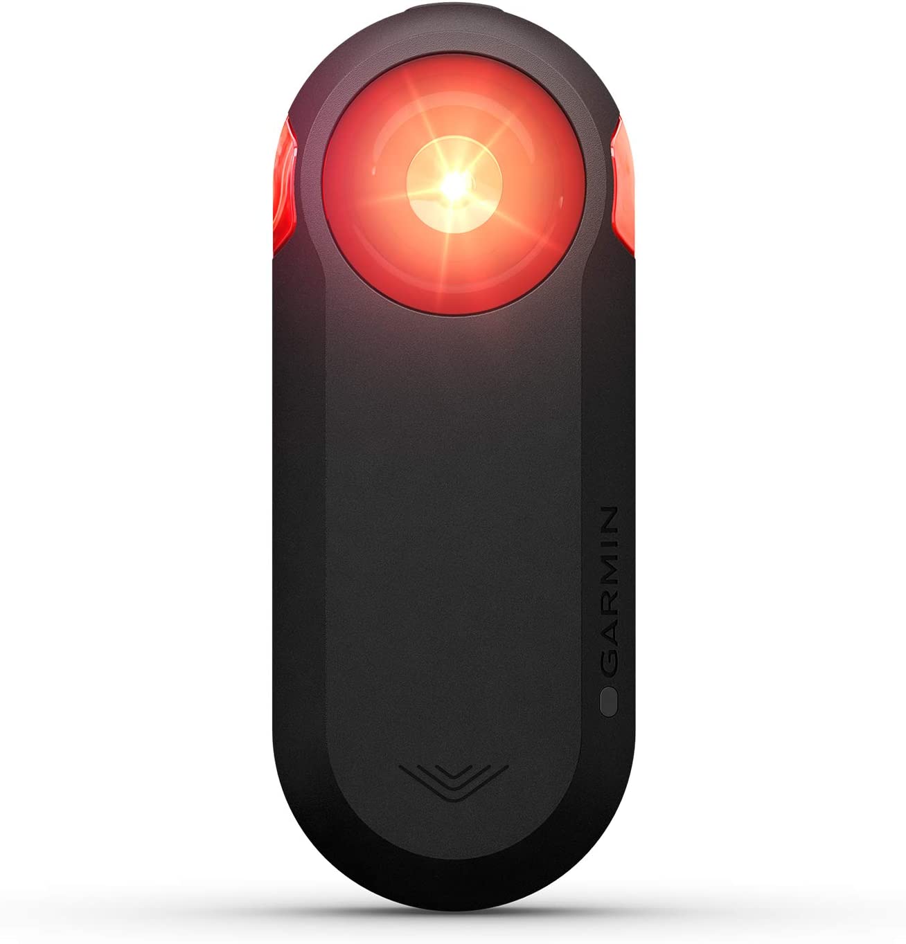
 Garmin - Varia RTL510 Cycling Radar Tail Light
$199.99 Sale Price $9.99 Donation Included -
 Garmin - Garmin Swim 2, Slate
$249.99 Sale Price $12.49 Donation Included -
 Garmin - Forerunner 745 GPS Smart Running Watch, Whitestone
$499.99 Sale Price $25.00 Donation Included -
 Garmin - Tread SxS, GPS Navigator, Ulltrabright Display, Preloaded Topography, Group Ride Radio, inReach Technology
$1,499.99 Sale Price $75.00 Donation Included -
 Garmin - Catalyst Driving Performance Optimizer for Motorsports and High Performance Driving
$999.99 Sale Price $50.00 Donation Included -
 Garmin - Forerunner 55 GPS Multisport Smartwatch, Black
$199.99 Sale Price $10.00 Donation Included -
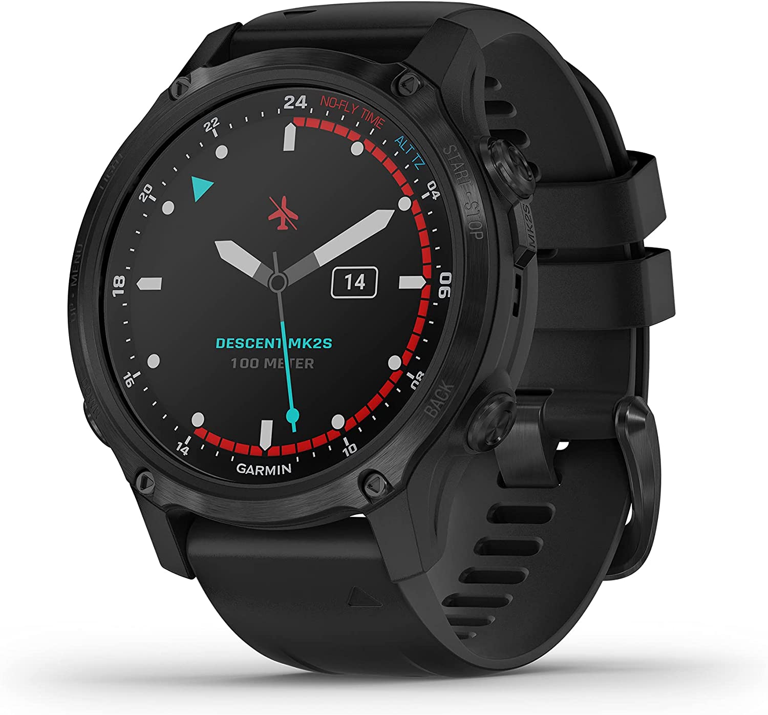 Garmin - Descent Mk2S, Diving Smartwatch, Carbon Gray DLC with Black Silicone Band
$999.99 Sale Price $50.00 Donation Included -
 Garmin - Vivoactive 4S, Smaller-Sized GPS Smartwatch, Powder Gray/Silver
$349.99 Sale Price $17.49 Donation Included -
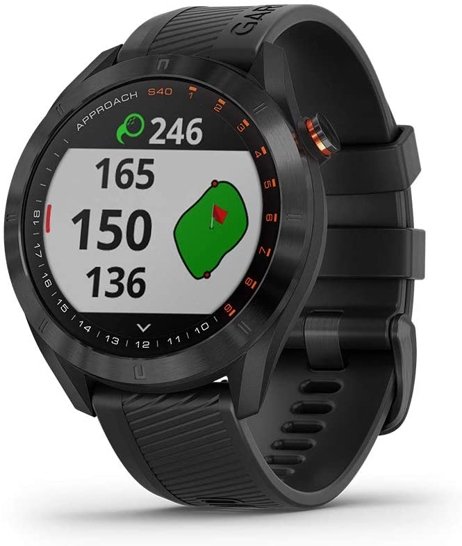
 Garmin - Approach S40 Stylish Lightweight GPS Golf Smartwatch, Gray/Stainless Steel
$299.99 Sale Price $15.00 Donation Included -
 Garmin - Tread XL Baja Race Edition, 10" Off-Road Race Navigator
$2,499.99 Sale Price $125.00 Donation Included -
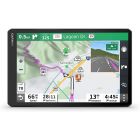
 Garmin RV 890, GPS Navigator for RVs with Edge-to-Edge 8” Display
$499.99 Sale Price $24.99 Donation Included -
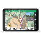
 Garmin - Montana 700 Rugged GPS Touchscreen Navigator
$599.99 Sale Price $30.00 Donation Included -
 Garmin - Venu 2S, Smaller-Sized GPS Smartwatch, Graphite Case and Silicone Band
$399.99 Sale Price $19.99 Donation Included -
-
 Garmin - RV 780 GPS Navigator with Traffic
$399.99 Sale Price $20.00 Donation Included -
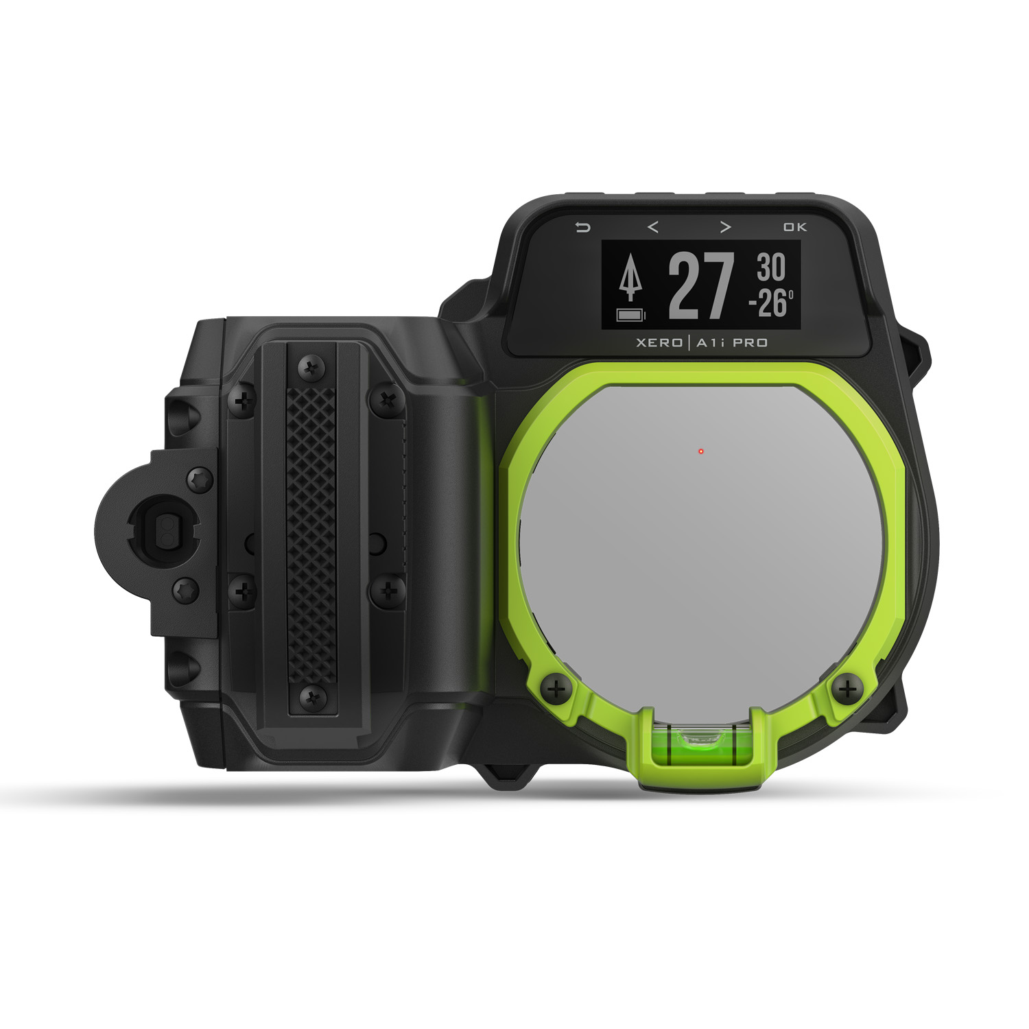
 Garmin - Xero A1i PRO Bow Sight, Right-Handed Auto-ranging Digital Sight with Microadjustments for Elevation, Windage and More
$1,299.99 Sale Price $65.00 Donation Included -
 Garmin Rino 755t, Rugged Handheld 2-Way Radio/GPS Navigator with Camera and Preloaded TOPO Mapping
$649.99 Sale Price $32.99 Donation Included -
 Garmin - Vivofit 4 Activity Tracker, White, S/M
$79.99 Sale Price $3.99 Donation Included -
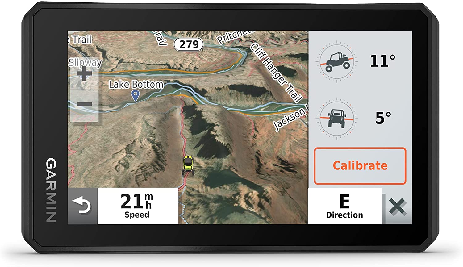
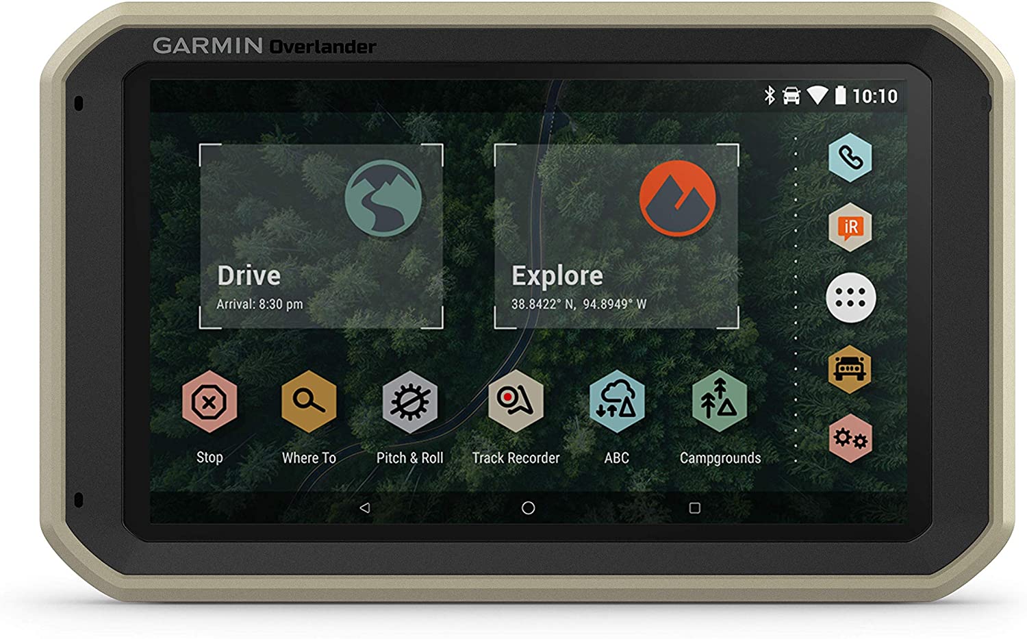 Garmin - Overlander Rugged Multipurpose Navigator
$699.99 Sale Price $35.00 Donation Included -
 Garmin - Fenix 7S Sapphire Solar Edition, Adventure Bluetooth Touchscreen Smartwatch, Carbon Gray DLC Titanium with Black Band
$899.99 Sale Price $45.00 Donation Included -
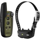
 Garmin - TT15 GPS Dog Training Collar
$299.99 Sale Price $14.99 Donation Included -
 Garmin - Instinct Solar GPS Smartwatch, Sunburst
$399.99 Sale Price $20.00 Donation Included -
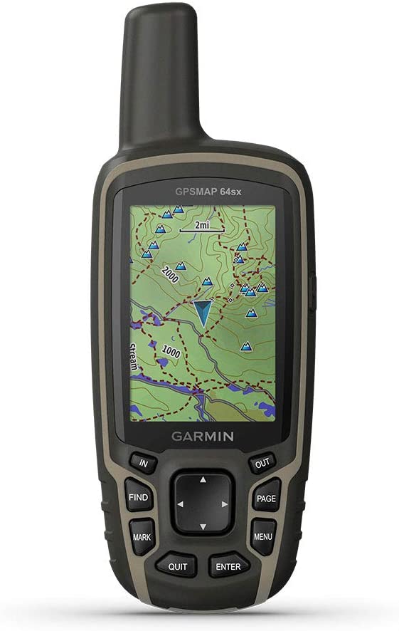 Garmin - GPSMAP 64sx, Handheld GPS with Altimeter and Compass, Preloaded With TopoActive Maps, Black/Tan
$399.99 Sale Price $20.00 Donation Included -
 Garmin - Fenix 7S Sapphire Solar Edition, Adventure Bluetooth Touchscreen Smartwatch, Cream Gold Titanium with Light Sand Band
$899.99 Sale Price $45.00 Donation Included -
 Garmin - Rino 750, Rugged Handheld 2-Way Radio/GPS Navigator
$549.99 Sale Price $27.50 Donation Included -
 Garmin - Dash Cam 67W, GPS, Compact and Discreet Dash Camera
$259.99 Sale Price $12.99 Donation Included -
 Garmin - Alpha10, Handheld Only, US
$399.99 Sale Price $19.99 Donation Included -
 Garmin - HRM-Dual Heart Rate Monitor
$69.99 Sale Price $3.49 Donation Included -
 Garmin - Approach S40 Stylish Lightweight GPS Golf Smartwatch, Black
$299.99 Sale Price $15.00 Donation Included -
 Garmin - Approach® S62 Bundle Premium Golf GPS Watch with 3 CT10 Club Tracking Sensors
$549.99 Sale Price $27.49 Donation Included -
-
 Garmin - Forerunner 745 GPS Smart Running Watch, Tropic
$499.99 Sale Price $25.00 Donation Included -
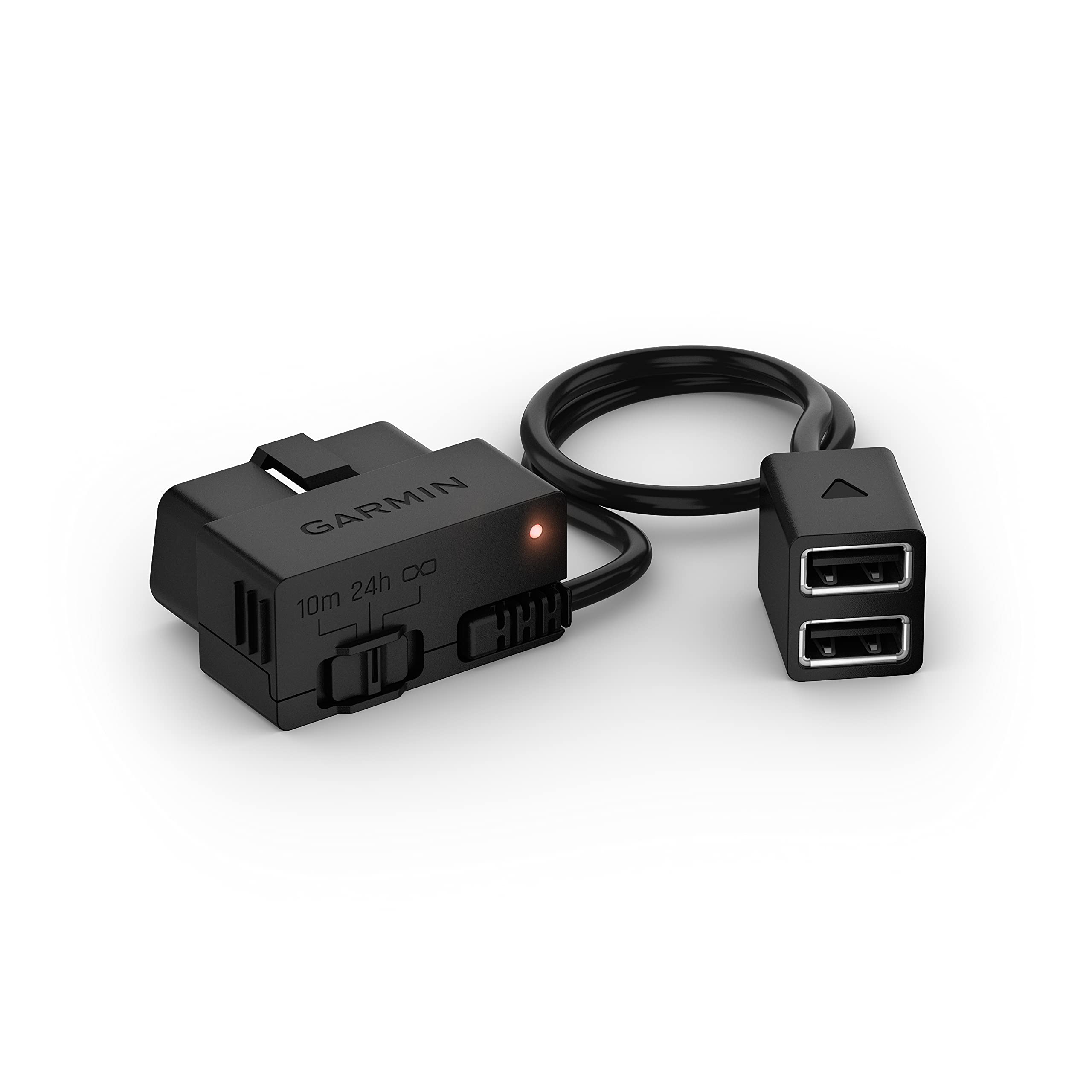 Garmin - Constant Power Cable, Compatible with Garmin Dash Cam, Fits Vehicle's OBD-II Port for Power Even When Parked and Turned Off
$49.99 Sale Price $2.50 Donation Included -
 Garmin - Tread Powersport Off-Road Navigator, with Topographic Mapping
$599.99 Sale Price $30.00 Donation Included -
 Garmin - Forerunner 245 Music, Black
$349.99 Sale Price $17.49 Donation Included -
 Garmin - Descent Mk2S, Diving Smartwatch, Light Gold with Light Sand Silicone Band
$999.99 Sale Price $50.00 Donation Included -
 Garmin - Vivoactive 4,Fitness GPS Smartwatch Black with Slate Hardware
$349.99 Sale Price $17.49 Donation Included -
 Garmin - Fenix 6, Sapphire, Carbon Gray DLC with Black Band
$749.99 Sale Price $37.49 Donation Included -
 Garmin - Varia RVR315, Cycling Rearview Radar with Visual and Audible Alerts for Vehicles Up to 153 Yards Away
$149.99 Sale Price $7.50 Donation Included -
 Garmin - Edge 1030 Plus GPS Cycling/Bike Computer
$599.99 Sale Price $29.99 Donation Included -
 Garmin - Xero A1i PRO Bow Sight, Left-Handed Auto-ranging Digital Sight with Microadjustments for Elevation, Windage and More
$1,299.99 Sale Price $65.00 Donation Included -

-
 Garmin - Instinct Solar, Solar-Powered Rugged Outdoor Smartwatch, Lichen Camo
$449.99 Sale Price $22.50 Donation Included -
 Garmin - Tactix Delta Solar, Specialized Tactical Watch, Black
$1,099.99 Sale Price $54.99 Donation Included -
 Garmin - Approach S40 Stylish Lightweight GPS Golf Smartwatch, White/Light Gold
$299.99 Sale Price $15.00 Donation Included -
 Garmin - Forerunner 245 GPS Multisport Smartwatch, White
$349.99 Sale Price $17.50 Donation Included -
 Garmin - inReach Mini 2, Lightweight and Compact Satellite Communicator, Hiking Handheld
$399.99 Sale Price $20.00 Donation Included -
 Garmin - Rally RK200, Dual-Sensing Power Meter, Compatible with Look KEO Cleats
$1,099.99 Sale Price $54.99 Donation Included -
 Garmin - Forerunner 945, Black
$599.99 Sale Price $29.99 Donation Included -
 Garmin - Varia RCT715, Bicycle Radar with Camera and Tail Light, Continuous Recording, Vehicle Detection
$399.99 Sale Price $20.00 Donation Included -
 Garmin - HRM-Pro, Premium Heart Rate Monitor with Chest Strap
$129.99 Sale Price $6.49 Donation Included -
 Garmin - Xero A1i Bow Sight, 2" Auto-Ranging Digital Bow Sight with Laser Locate, Dual-color LED Pins for Unobstructed Views, Left-Handed
$999.99 Sale Price $50.00 Donation Included -
 Garmin - Vivosmart 4 Activity Tracker, Black/Midnight, L
$129.99 Sale Price $6.49 Donation Included -
 Garmin - Approach S62 Premium Golf GPS Watch, Black
$499.99 Sale Price $25.00 Donation Included -
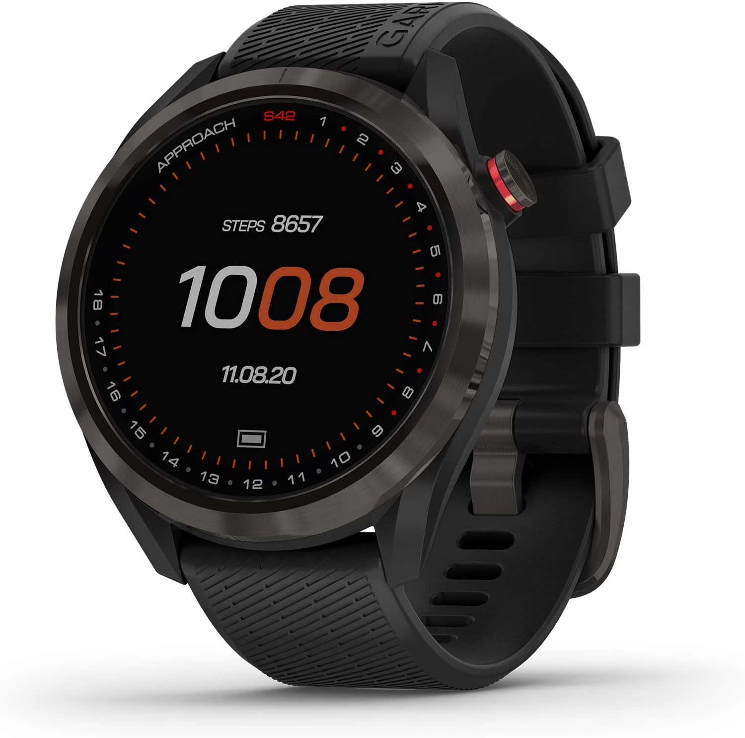 Garmin - Approach S42 Lightweight GPS Golf Smartwatch, Gunmetal Ceramic Bezel and Black Silicone Band
$299.99 Sale Price $15.00 Donation Included -
 Garmin - Fenix 7 Standard Edition, Adventure Bluetooth Touchscreen Smartwatch, Silver with Graphite Band
$699.99 Sale Price $35.00 Donation Included -
 Garmin - Instinct Solar Edition Rugged Outdoor Smartwatch, Tactical, Black
$449.99 Sale Price $22.49 Donation Included -
 Garmin - Rally RS100, Single-Sensing Power Meter, Compatible with Shimano SPD-SL Cleats
$649.99 Sale Price $32.49 Donation Included -
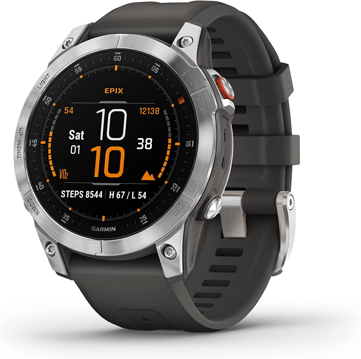
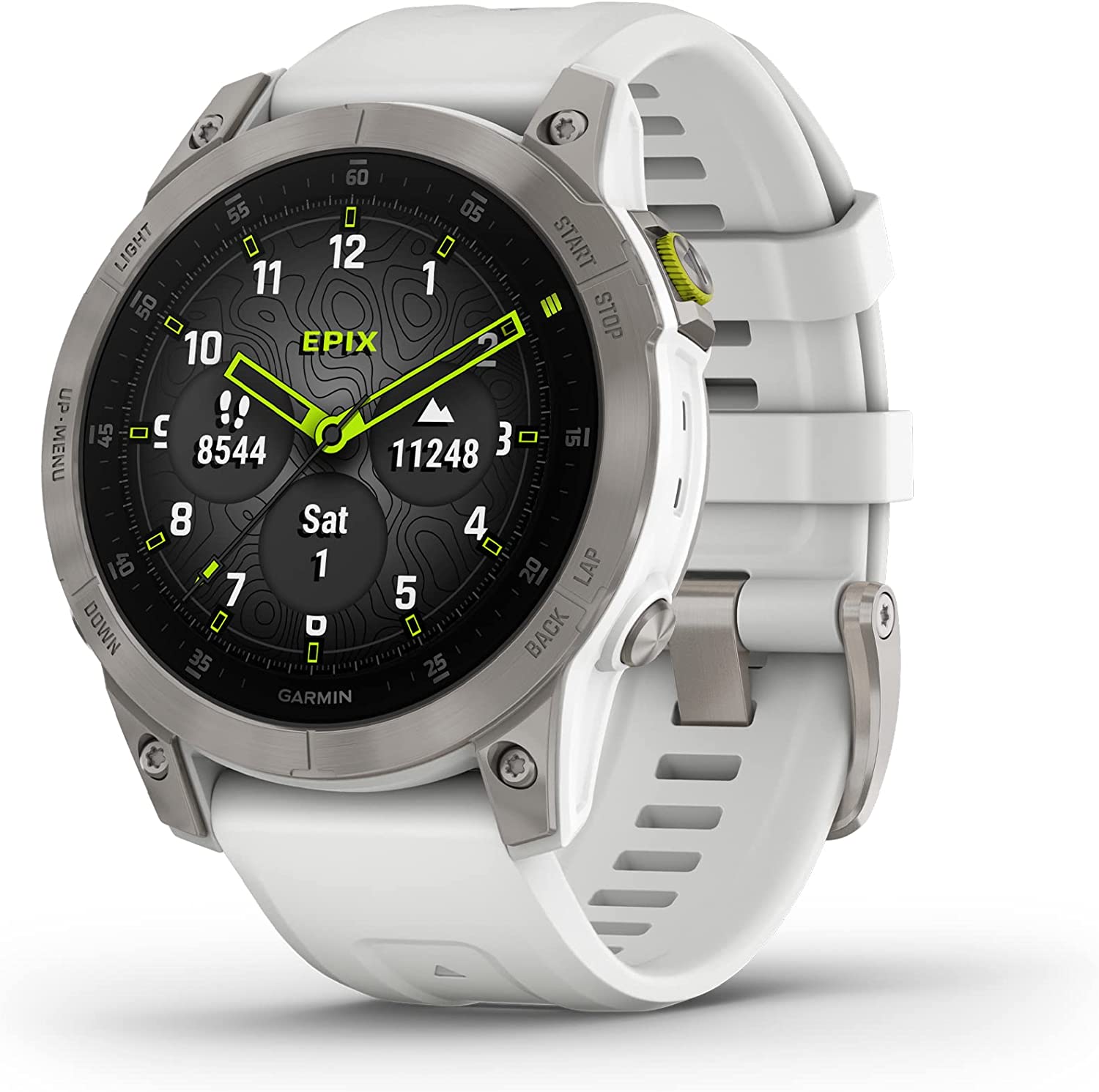
 Garmin - Epix Gen 2, Premium Active Adventure Smartwatch with Touchscreen AMOLED Display
$899.99 Sale Price $45.00 Donation Included -
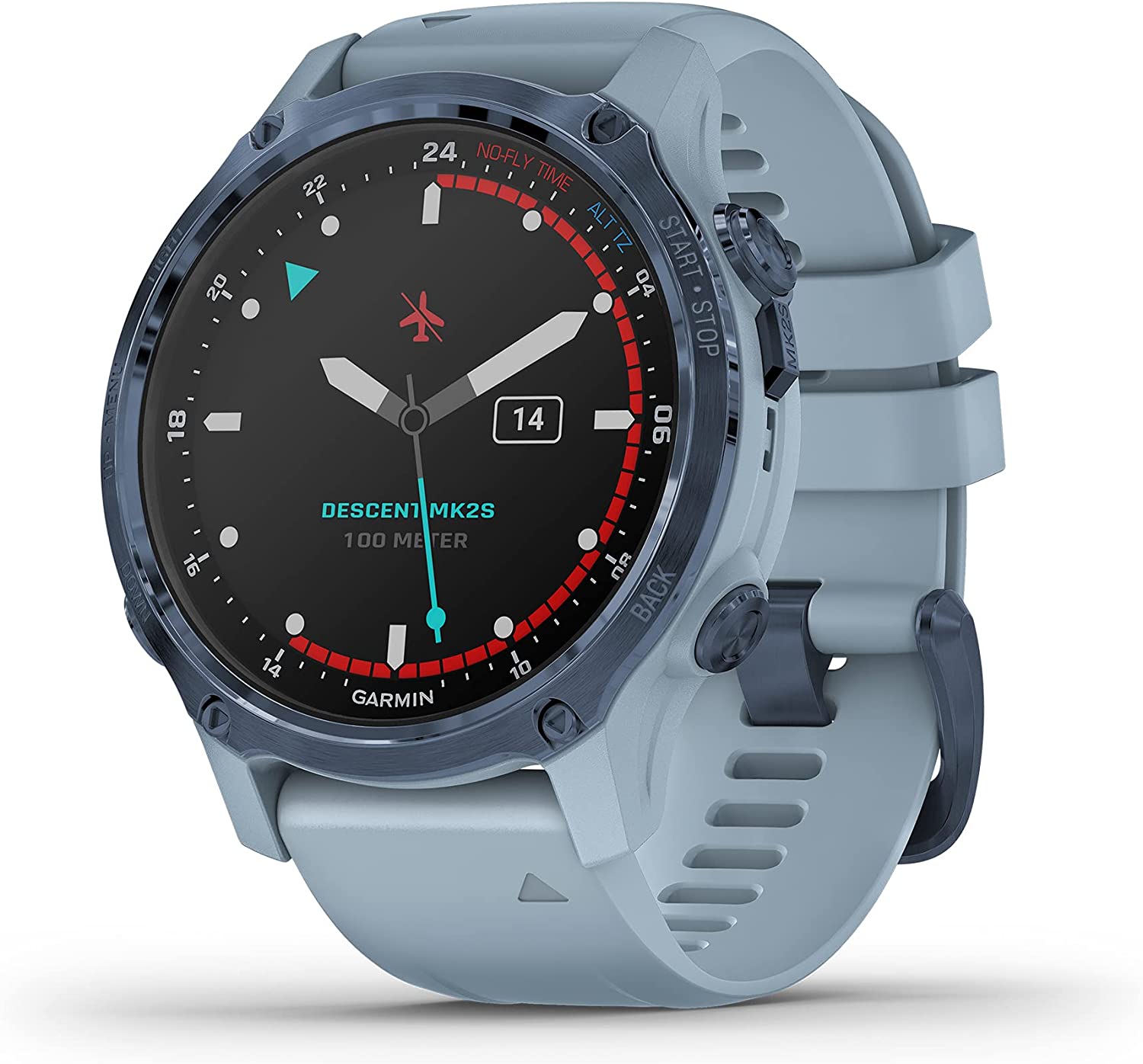 Garmin - Descent Mk2S, Diving Smartwatch, Mineral Blue with Sea Foam Silicone Band
$999.99 Sale Price $50.00 Donation Included -
 Garmin - Fenix 7S Standard Edition, Rugged Outdoor Bluetooth Touchscreen Smartwatch, Silver with Whitestone Band
$699.99 Sale Price $35.00 Donation Included -
 Garmin - Instinct Solar GPS Smartwatch, Tidal Blue
$399.99 Sale Price $20.00 Donation Included -
 Garmin - Varia RTL515, Cycling Rearview Radar with Tail Light, Visual and Audible Alerts for Vehicles Up to 153 Yards Away
$199.99 Sale Price $10.00 Donation Included -
 Garmin - Tread XL Overland, All-Terrain Navigator, Rugged, Built in Mapping, iOverlander, Ultrabright Display, Large
$1,499.99 Sale Price $75.00 Donation Included -
 Garmin - Vivosmart 4 Activity Tracker, Black/Midnight, S/M
$129.99 Sale Price $6.49 Donation Included -
 Garmin - Astro 430 GPS Dog Tracking System
$449.99 Sale Price $22.50 Donation Included -
 Garmin - Forerunner 55 GPS Multisport Smartwatch, White
$199.99 Sale Price $10.00 Donation Included -
 Garmin - Fenix 7X Sapphire Solar Edition, Adventure Bluetooth Touchscreen Smartwatch, Carbon Gray DLC Titanium with Black Band
$999.99 Sale Price $50.00 Donation Included -
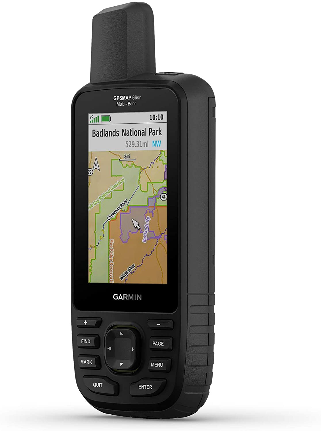 Garmin - GPSMAP 66sr, Hiking Handheld with Expanded GNSS and Multi-Band TechnologyHandheld, 3" Color Display
$499.99 Sale Price $25.00 Donation Included -
 Garmin - Group Ride Radio
$349.99 Sale Price $17.49 Donation Included -
 Garmin - Venu 2, GPS Fitness Smartwatch, Blue Case and Silicone Band
$399.99 Sale Price $19.99 Donation Included -
 Garmin - Zumo XT All-Terrain Motorcycle GPS Navigation Device
$499.99 Sale Price $25.00 Donation Included -
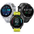 Garmin - Forerunner 965 Premium GPS Running/Multisport Smartwatch
$599.99 Sale Price $30.00 Donation Included -
 Garmin - Rally RS200, Dual-Sensing Power Meter, Compatible with Shimano SPD-SL Cleats
$1,099.99 Sale Price $54.99 Donation Included -
 Garmin - Vivoactive 4S Smaller-Sized GPS Smartwatch, Black with Slate Hardware
$349.99 Sale Price $17.49 Donation Included -
 Garmin - T5 Mini GPS Collar, US
$249.99 Sale Price $12.49 Donation Included -
 Garmin - BC 40 Wireless Backup Camera
$149.99 Sale Price $7.50 Donation Included -
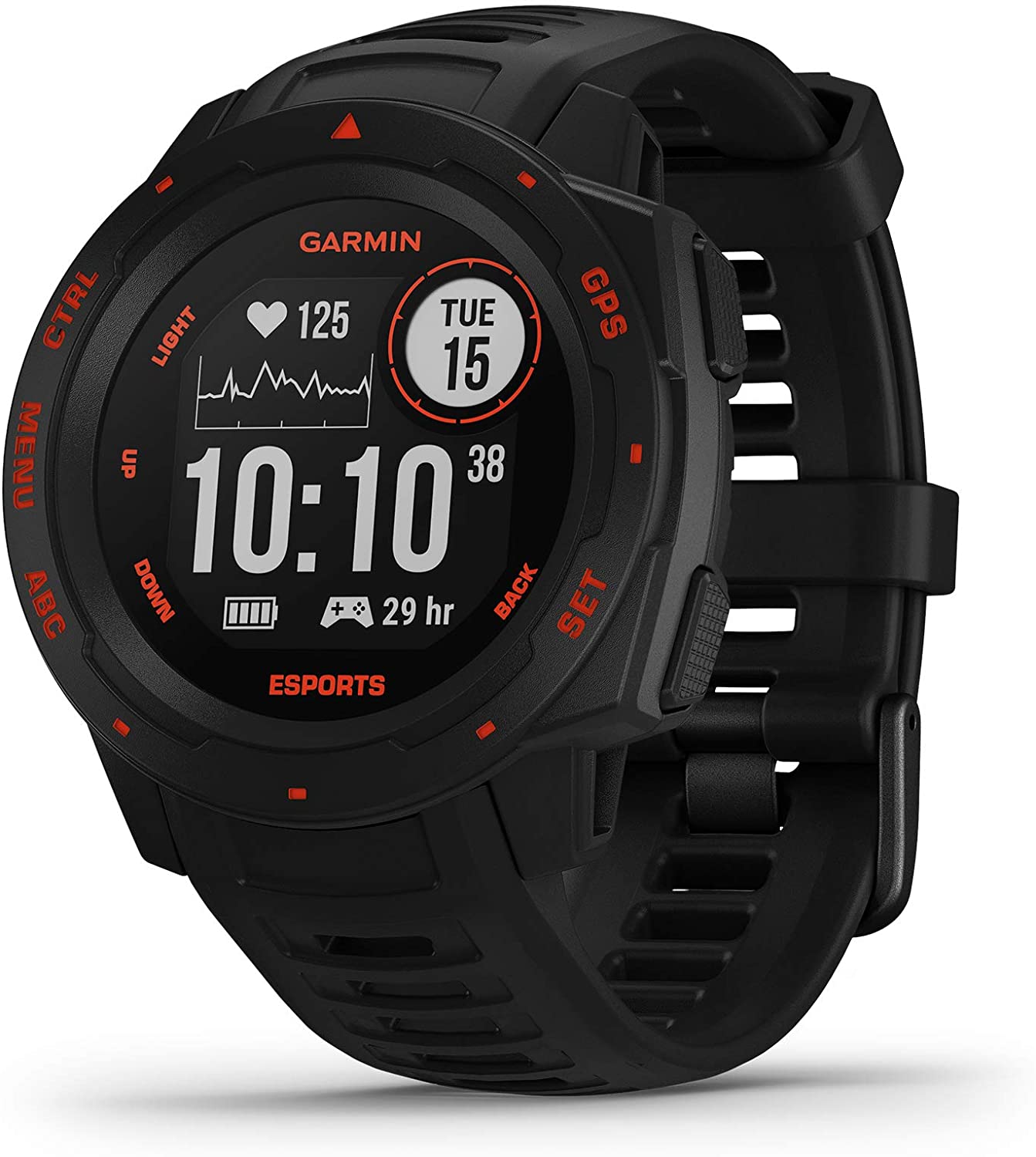 Garmin - Instinct Esports Edition, GPS Gaming Smartwatch, Black Lava
$299.99 Sale Price $15.00 Donation Included -
 Garmin - Fenix 7 Sapphire Solar Edition, Adventure Bluetooth Touchscreen Smartwatch, Black DLC Titanium with Black Band
$899.99 Sale Price $45.00 Donation Included -
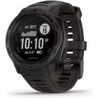
 Garmin - Instinct Tactical Rugged GPS Watch, Black
$299.99 Sale Price $14.99 Donation Included -
 Garmin - Vivosmart 4 Activity Tracker, Gray/Rose Gold, S/M
$129.99 Sale Price $6.49 Donation Included -
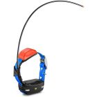
 Garmin - Delta Upland XC Dog Training Device with BarkLimiter - Orange
$299.99 Sale Price $14.99 Donation Included -
 Garmin - Forerunner 245 GPS Multisport Smartwatch, Aqua
$349.99 Sale Price $17.50 Donation Included -
 Garmin - Zumo 396, Rugged Motorcycle GPS
$399.99 Sale Price $20.00 Donation Included -
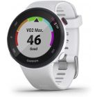
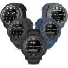
 Garmin - Instinct 2 Rugged Outdoor GPS Smartwatch
$349.99 Sale Price $17.50 Donation Included -
 Garmin - Xero Bow Sight, Auto-Ranging Digital Bow Sight, LED Pins for Unobstructed Views
$799.99 Sale Price $40.00 Donation Included -
 Garmin - Forerunner 55 GPS Multisport Smartwatch, Aqua
$199.99 Sale Price $10.00 Donation Included -
 Garmin - inReach Mini 2, Lightweight and Compact Satellite Communicator, Hiking Handheld, Black
$399.99 Sale Price $20.00 Donation Included -
 Garmin - Xero A1 Bow Sight, 2" Auto-Ranging Digital Bow Sight, LED Pins for Unobstructed Views, Left-Handed
$799.99 Sale Price $40.00 Donation Included -
 Garmin - Fenix 7 Sapphire Solar Edition, Adventure Bluetooth Touchscreen Smartwatch, Mineral Blue Titanium with Whitestone Band
$899.99 Sale Price $45.00 Donation Included -
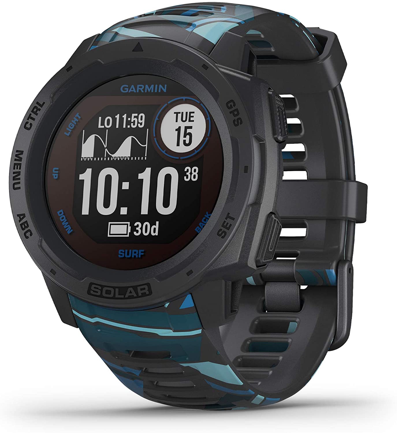 Garmin - Instinct Solar Surf, Solar-Powered Rugged Outdoor Smartwatch, Pipeline
$449.99 Sale Price $22.50 Donation Included -
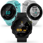
 Garmin - Forerunner 265 GPS Running Smartwatch, Daily Suggested Workouts
$449.99 Sale Price $22.50 Donation Included -
 Garmin - Instinct Rugged Outdoor GPS Watch, Tundra
$299.99 Sale Price $14.99 Donation Included -
 Garmin - Rally XC100, Single-Sensing Power Meter, Compatible with Shimano SPD Cleats
$699.99 Sale Price $34.99 Donation Included -
 Garmin - Instinct Rugged Outdoor GPS Watch, Graphite
$299.99 Sale Price $14.99 Donation Included -
 Garmin - Forerunner 245, Slate Gray
$299.99 Sale Price $14.99 Donation Included -
 Garmin - Forerunner 45 GPS Running Watch, Black
$199.99 Sale Price $9.99 Donation Included -
 Garmin - Instinct Solar Surf, Solar-Powered Rugged Outdoor Smartwatch, Cloudbreak
$449.99 Sale Price $22.50 Donation Included -
 Garmin - Dash Cam Tandem, GPS, Front and Rear Dash Cam
$299.99 Sale Price $14.99 Donation Included -
 Garmin - RV 785 & Traffic, Advanced GPS Navigator for RVs with Built-in Dash Cam, High-res 7" Touch Display
$499.99 Sale Price $25.00 Donation Included -
 Garmin - Descent G1 Rugged Diving Smartwatch, Multiple Dive Modes, Activity Tracking, Powder Gray
$549.99 Sale Price $27.50 Donation Included -
 Garmin - Instinct Solar, Solar-Powered Rugged Outdoor Smartwatch, Flame Red
$399.99 Sale Price $20.00 Donation Included -
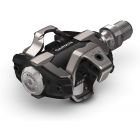
 Garmin - Rally Power Meter Pedals
$649.99 Sale Price $32.49 Donation Included -
 Garmin - Forerunner 245 GPS Multisport Smartwatch, Berry
$299.99 Sale Price $15.00 Donation Included -
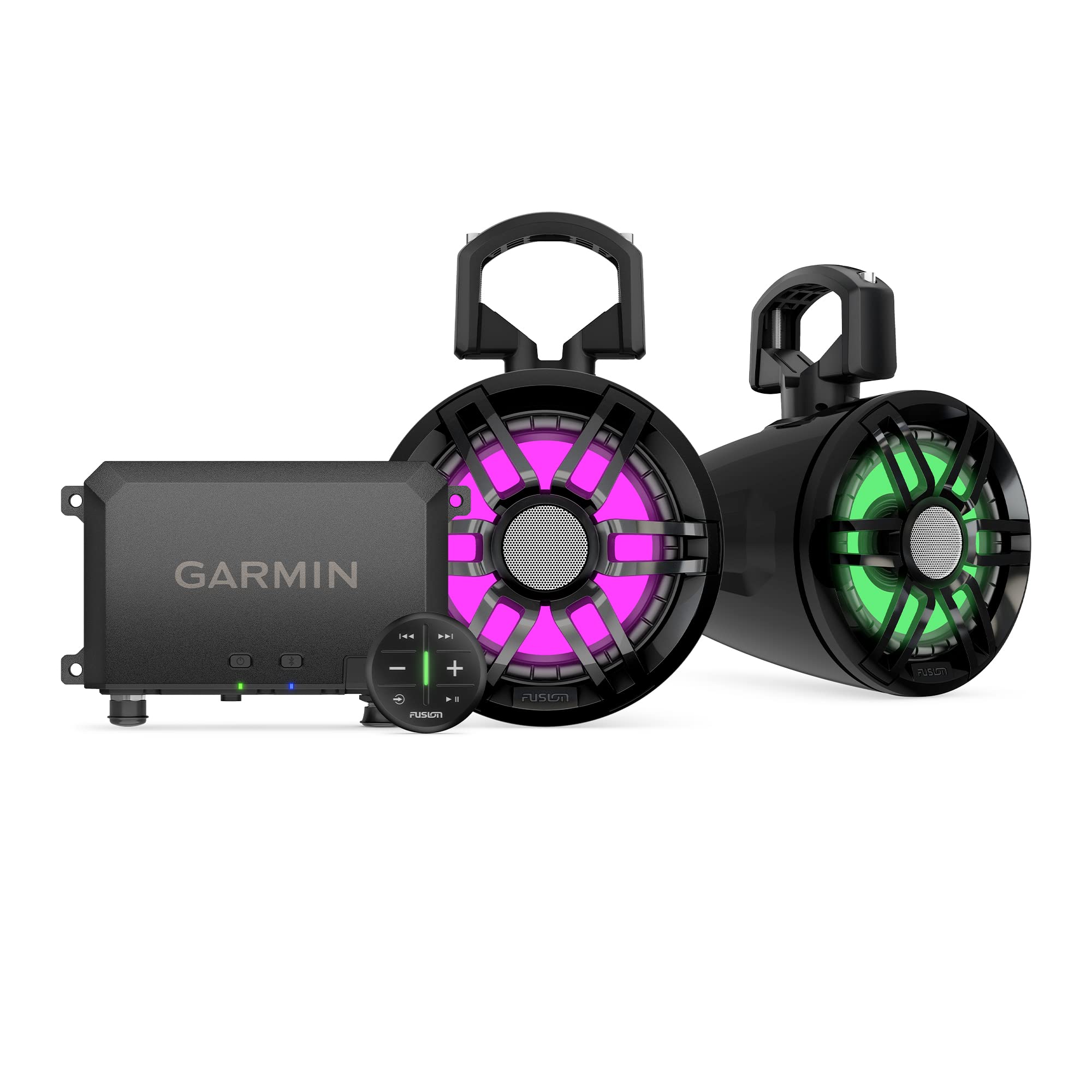 Garmin - Tread Audio System with LED Controller, Rugged Design, Premium Quality Audio, Wireless Control
$1,199.99 Sale Price $60.00 Donation Included -
 Garmin - Fenix 6S, Pro, Black/Black
$649.99 Sale Price $32.49 Donation Included